Download
1 / 15
150 likes | 386 Views
Challenges in the Implementation of Enterprise GIS – TNB’s Experiences Malaysia Geospatial Forum 2012. Introduction to CGIS. CGIS stands for Corporate Geospatial Information System.

E N D
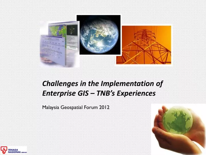
Challenges in the Implementation of Enterprise GIS – TNB’s Experiences Malaysia Geospatial Forum 2012
Introduction to CGIS • CGIS stands for Corporate Geospatial Information System. • Project is to be implemented by ICT Division jointly with other Divisions: Distribution, Transmission, Generation, Planning and Corporate Services. • CGIS Project Implementation is to be based on the JEK Approved 10 - Year CGIS Master Plan. • Software chosen for implementation is GE Smallworld. This software has been implemented in several utility companies such as Singapore Power, China Light Power, Syarikat Air Johor, Gas Malaysia, PowerGen (UK), Duke Energy (USA), TransGrid (Australia) and Horizon Energy (NZ). • What is CGIS ?
Chronology The CGIS Project concept was approved by ICT GC (ICT Governance Council) Formulation of TNB’s 10 years GIS Master Plan Approved master plan for implementation Board Tender Committee approved the selection of the System Implementer and Solutions CGIS foundation Project (2009-2013) and CGIS Full Deployment 3
Why Do We Need CGIS? (TNB Management’s Perspective) • Better Assets Management • Provide overview of system network, useful in crisis management and disaster recovery • Facilitate in planning, construction, O&M of TNB assets • Use information on land/geographical conditions for construction of new assets • Better Customer Service Delivery • Facilitate faster delivery of supply to newcustomers • Facilitate faster recovery of power breakdowns • Lower Support Costs • Standard GIS platform will save cost of support and maintenance • Enhance Productivity • Enhance engineering capability • Data shareable among divisions thus, increase synergies • Achieve world-class standard
Project Information & Statistics • Project Duration • Foundation Period : 2009-2013 • Full Deployment : 2014-2019 • Parties Involved : TNB Team, System Integrator, SOA Vendor, Business Process Consultant, Data Digitization Vendor, Map Vendor & Device Suppliers • TNB Full-Time Project Team Members : 50 • TNB Data Management Team Members : 80 • System Integrator Team Members : 40 • Digitizers : 40 • Users • Current Users : 500+ • Total Expected Users (By 2013) : 1000+ • Processes • Number of CGIS Related Processes : 96 Major Processes
Roadmap Strategy GIS Full Deployment - More functions - More users and locations GIS Foundation - Required functions - System Stabilization Define Roadmap 1 2 3 2008 2010 2012 2014 2016 2019 - System and Implementer selection 1 2 3 - CGIS Roadmap review
Roadmap Strategy Define Roadmap • To ensure the implementation of GIS in TNB is looked at in a holistic manner. • To ensure each Division will embark on a program that is in sync with each other and with the overall corporate strategy. • To ensure expenditure and benefits can be managed efficiently. GIS Foundation – 4 Years • All the prioritized functionalities will be implemented, focusing on the area of Selangor, Kuala Lumpur and Putrajaya. • For Transmission Division, Planning and Generation Division, the scope of assets will be nation-wide but the usage of the functions will be limited. • This foundation project is critical to ensure that TNB is ready with a robust solution and support structure before being rolled out to other areas. GIS Full Deployment • Once the foundation is complete, CGIS will embark to deploy the GIS functions to all other states. • The functionalities and support structure would be fully tested and operational, therefore reducing the risk of deployment issues.
Challenges Change Mgt Integration Diversified requirements Data Internal team preparation
Challenges (1) Change management
Challenges (2) Diversified requirements
Challenges (3) Data Readiness & Accuracy
Challenges (4) Integrations
Challenges (5) team preparation
Success Criteria • Top Management Support • Availability of the 10 – Year GIS Master-Plan • Establishment of Proper Project Structure • Formulation of A Comprehensive Change Management Program - Communication and Training Plan • Appointment of CGIS Account Managers for each Districts in Distribution Division (being the largest division in TNB) • Handholding session for users based on request • Frequent issue resolution meeting with users • Workshops • Managing Customer’s Expectations