Download
1 / 18
180 likes | 347 Views
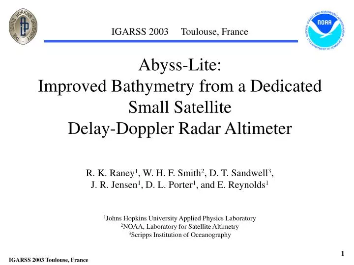
IGARSS 2003 Toulouse, France. Abyss-Lite: Improved Bathymetry from a Dedicated Small Satellite Delay-Doppler Radar Altimeter. R. K. Raney 1 , W. H. F. Smith 2 , D. T. Sandwell 3 , J. R. Jensen 1 , D. L. Porter 1 , and E. Reynolds 1. 1 Johns Hopkins University Applied Physics Laboratory

E N D
IGARSS 2003 Toulouse, France Abyss-Lite: Improved Bathymetry from a Dedicated Small Satellite Delay-Doppler Radar Altimeter R. K. Raney1, W. H. F. Smith2, D. T. Sandwell3, J. R. Jensen1, D. L. Porter1, and E. Reynolds1 1Johns Hopkins University Applied Physics Laboratory 2NOAA, Laboratory for Satellite Altimetry 3Scripps Institution of Oceanography
Underlying Physics Sea surface slopes at length scales of 12 km to 200 km Slopes required to one microradian ( 6 mm in 6 km) ( 1 microrad corresponds to ~ 1 mgal gravity anomaly )
Isostatic compensation - e.g., the Hawaiian massif depresses the Earth’s mantle Gravity anomalies and depth are closely correlated over the ~12 km to 200 km band (Watts and Talwani, 1975)
Short Wavelength Coverage Abyss-Lite will improve slope resolution by an order of magnitude, and spatial resolution by a factor of 3 (avg) Better ! Spatial resolution (kilometers) Better ! As derived for the ABYSS Proposal to NASA (Smith, Raney, et al, 2002) “Altimetric Bathymetry from Surface Slopes”
Bathymetry Profiles (km)
Slope error is due mainly to waves Higher precision requires an altimeter less prone to random noise induced by ocean surface waves. Slope RMS variability from Geosat ERM (1 frequency, no radiometer). Seasonally averaged wave heights, courtesy P. D. Cotton, UK
Area-Averaged Errors in N-S vs E-W Slopes More balanced errors Better coverage 150 Inclination 120 Courtesy, D. Sandwell, SIO
Better Bathymetry from Space REQUIRES: • A better orbit (inclination; repeat period ) • A better altimeter • Why? Need to satisfy…. • > finer precision • > suppress “noise” from waves • > better near-shore performance How? >signal processing techniques: Doppler and Migration (APL invention; US Patent)
Along track 0 2 3 Relative time delay Delay Doppler Radar Altimeter Altimeters Compared Delay-Doppler Radar Altimeter Advantage: along-track incidence and Processing : remove Doppler equivalence extra delay due to Conventional Delay/Doppler (modulo PRF) wavefront curvature, which converts all Pulse length Pulse length data along-track to height measurements Doppler modulation Pulse Doppler knowledge limited Pulse- supports closer Annuli of footprint Doppler approach to shore equal areas limited footprint Two-dimensional section of the angular scattering 0 function at each 1 Multi-looks at each location and every 1 subsatellite point 2 3
NASA-Funded proof-of-concept Aircraft Altimeter(D2P)Field campaigns 2000, 2001, 2002, 2003Johns Hopkins Universityhttp://fermi.jhuapl.edu/d2p
Abyss-Lite Requirements To provide sea surface slope data to 1 micro-radian over scales as small as 6 km (half-wavelength) by a radar altimeter on a dedicated small spacecraft Altitude (average, circular) ~800 Nominal inclination (degree) 50 – 63 (or 113 – 120 ) Height precision* < 1 cm @ 3 m SWH Along-track footprint* < 3 km (all SWH) Range pulse width (m) < 0.5 Mission duration (y) 5 Resources required Minimize power, mass *By implication, requires a delay-Doppler radar altimeter
Abyss-Lite Height Precision * SWH PDF, Summer (after Lefevre and Cotton, 2001) > Acceptable precision AND less sensitivity to SWH ! *Derived from white Gaussian noise process over the Abyss-Lite band => one-sigma 1mrad slope error ~1-cm height precision Section F.3.2
The Baseline Design** Target cost*: less than $60 M Radar mass (kg) ~ 28 Spacecraft mass (kg) 148 Antenna diameter (m) 1.0 Science data rate (kb/s) 25 (average) Radar power (W) < 75 (fixed solar arrays) D/L data rate (Mb/s) 4 (two days of data, 10 min) Navigation Star-trackers & GPS Attitude control Pitch wheel and torque rods Launch Pegasus (60 degrees#) **Design study at JHU/APL funded by NOAA *Excluding reserves and launch vehicle #Additional cost of retrograde orbit TBD
Abyss-Lite coverage • Dense track network (< 5 km averagespacing) • Better altimeter precision, and better orbit inclination • One-time, relatively low cost satellite mission Current altimeter data have poor E-W control, high noise (ERS/GM), and uneven track spacing (Geosat/GM). Abyss-Lite will have good E-W control, low noise, and very dense track spacing. Abyss-Lite
Lower resolution limit now (Geosat, ERS-1) Lower resolution limit as proposed (Abyss-Lite) Abyssal Mapping from Space Bathymetry derived from space-based altimetry is as good as gravity measurements at the sea’s surface Physical limit on spatial resolution at the sea surface (upward continuation) Resolution km (full wavelength)
On Meso-scale Field Determination • Exact-repeat orbits and a Topex-class altimeter are not necessarily required for mesoscale determination Contrary to generally accepted doctrine • Fact: Relatively fine spatial coverage is the primary requirement Satisfied by many altimeters in exact-repeat orbits, and also by one altimeter in a non-repeat orbit • Fact: Height precision over meso-scales is required Satisfied by a “precise” single-frequency altimeter without WVR • Implication: Abyss-Lite would meet geodetic and meso-scale oceanographic mission requirements
Conclusions Abyss-Lite > Bathymetric mapping from space by altimetry Requires a precision radar altimeter, single frequency, no water vapor radiometer, moderate-inclination non-repeat orbit > Delay-Doppler: New generation of radar altimetry Offers the precision needed for state-of-the-art bathymetry > Meso-scale requirements met by the same mission The Abyss-Lite altimeter, in the context of background absolute SSH data, will also satisfy operational requirements


![L 23 – Vibrations and Waves [3]](https://cdn3.slideserve.com/5847224/l-23-vibrations-and-waves-3-dt.jpg)