Download
1 / 17
170 likes | 269 Views
Risk MAP and Region III Coastal Efforts. US Army Engineer Research and Development Center. November 1, 2011. How did it all get started?. 1956 Federal Flood Insurance Act -40% federal subsidy but leave with the private companies-never got off the ground

E N D
Risk MAP and Region III Coastal Efforts US Army Engineer Research and Development Center November 1, 2011
How did it all get started? • 1956 Federal Flood Insurance Act -40% federal subsidy but leave with the private companies-never got off the ground • 1968 National Flood Insurance Act-voluntary • Federal Insurance Administration is established/emergency vs. regular program • 3000 communities join the NFIP • Congress directs FIA to map flood hazard areas • 1973 Federal Disaster Protection Act- voluntary but penalties for not joining • By 1977 over 15000 communities join the NFIP • 2004 National Flood Insurance Reform Act • 2007 Post Katrina Emergency Management Reform Act
The Map Modernization Program • Nationwide, 5-year, $1 billion program –initiated in FY2004 • Updated FEMA’s Flood Insurance Rate Maps (FIRMs): 70 percent were over 15 years old • Produced seamless digital flood data on a countywide basis • Reduced map production time • Reduced cost/time for future updates
Risk MAP – Mapping, Assessment, Planning • Risk MAP goal: Ensure that a measurable increase of the public’s awareness and understanding of risk results in a measurable reduction of current and future vulnerability. • More accurate data to identify, assess, and mitigate risk • Maps that provide a better display of risk information • More outreach to communicate risk
Map Mod to Risk MAP • Risk Mapping, Assessment and Planning, or Risk MAP: 2010-2014 • Builds on Map Mod successes • Will deliver quality data that increases public awareness and leads to action that reduces risk to life and property. • Watershed approach • Coastal re-mapping • Stronger communication support
Program Product Comparisons Non-Regulatory Products Traditional Regulatory Products DFIRM Database Traditional products are regulatory and subject to statutory due-process requirements Risk MAP products are non-regulatory and are not subject to statutory due-process requirements
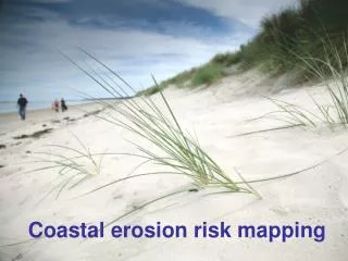
Why is a Coastal Restudy Needed? • New Guidelines need to be implemented • Atlantic Ocean and Gulf of Mexico Guidelines Update (2007) • Sheltered Water Report (2008) • PM 50 Limit of Moderate Wave Action (LiMWA) (2008) • To update base data such as topographic dataset and aerial imagery to high resolution products and seamless Digital Elevation Model (DEM) • To utilize newer coastal hazard methodologies developed during the FEMA Mississippi Coastal Restudy • To take advantage of higher performance numerical modeling • To take advantage of improvement in GIS technologies to allow for more accurate FIRMs
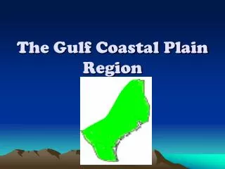
Extent of Region IIICoastal Study • All of Region III coastal counties/cities (Atlantic Ocean Chesapeake Bay, Delaware Bay and their tributaries)
Coastal Study Process TERRAIN PROCESSING STORM SURGE ANALYSIS STARTING WAVE CONDITION ANALYSIS FIELD RECONNAISSANCE FRONTAL DUNE DELINEATION STORM-INDUCED EROSION OVERLAND WAVE HEIGHT & RUNUP ANALYSIS FLOODPLAIN BOUNDARY & FLOOD HAZARD ZONE MAPPING
Coastal Study Outreach Efforts • Coastal Outreach Strategy • Website – www.r3coastal.com • Outreach factsheets • Outreach meetings • Initial outreach (Risk MAP Coordination) meetings for each county • Regional technical storm surge study meetings • Flood Review Meetings • Community open houses • Final community meetings for each county


![Risk MAP and Discovery FEMA Region [#], [WATERSHED NAME] Watershed](https://cdn1.slideserve.com/2868558/risk-map-and-discovery-fema-region-watershed-name-watershed-dt.jpg)