Download
1 / 24
240 likes | 382 Views
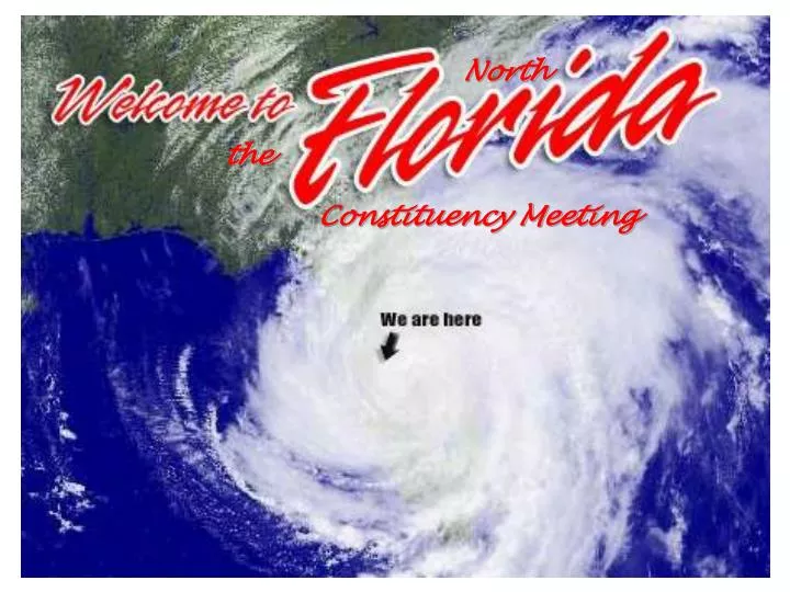
North. the. Constituency Meeting. Florida Panhandle Constituency Meeting – July 19, 2006.

E N D
North the Constituency Meeting
Water Resources of FloridaMission StatementThe mission of the Water Discipline, which supports the overall mission of the U.S. Department of the Interior and the U.S. Geological Survey, is to provide the hydrologic information and understanding needed for the best use and management of the Nation's water resources for the benefit of the people of the United States.
The mission is accomplished through cooperation with State and local governments and other Federal agencies by: • Collecting data on a systematic basis to determine the quantity, quality, and use of surface and ground water. • Conducting interpretive water-resource appraisals to describe the consequences of alternative plans for developing land and water resources. • Conducting basic and problem-oriented research in hydraulics, hydrology, and related fields. • Developing information on water-related natural hazards such as floods, landslides, mudflows, and land subsidence. • Coordinating the activities of all Federal agencies in the acquisition of water data. • Disseminating data and findings through reports, maps, and other forms of public media. • Providing scientific and technical assistance in the hydrologic fields to other Federal agencies, to State and local agencies, and, on behalf of the U.S. Department of State, to international agencies.
The first USGS gaging station was installed on the Rio Grande River At Embudo, NM in 1889 The USGS cooperative program was established in 1928 originally, USGS and cooperating agency each put up 50% of the cost of the work This cooperative water-resources program has grown over the years into the primary source of water information for the Nation.
Gaging work must be for the public good, of regional or nation-wide scope: flood warning water-supply control development of state-wide flow or qw standards hydrologic research/interpretive studies In the coop program: the USGS can put up no more than 50% of the program cost Joint Funding Agreements must be signed by both parties before work begins Billing will be quarterly or annually depending on program amt
Florida Water Data program Chiefs, Stewart Tomlinson– Tallahassee Leroy Pearman, Altamonte Springs Richard Kane, Tampa Eduardo Patino, Ft. Lauderdale-Ft. Myers
Florida Water Data program • Network of over 2,000 gages to monitor long-term surface water, ground water, and water quality • Data used for water-level monitoring, flood warning, water-quality management, reservoir regulation, resource modeling and assessment, determination of minimum flows and levels, long-term resource trends studies, and more • Complex springs and tidally-affected sites broaden scope of scientific knowledge in measurement of flow • Real-time data on web enhances data value and availability to resource managers and the public
Florida Water Data program • June 2003 Floods • Four major hurricanes and associated floods in 2004 • Three hurricanes in 2005 Hurricane Wilma storm surge monitoring • Lake Okeechobee Watershed Project • One Florida Data Program • NWIS Database Consolidation • Springs Flow Monitoring • State-wide 1998-2002 drought circular Recent Activities
Florida Water Data program-Tallahassee Includes— 107 surface-water sites 2 ground-water sites 3 water-quality sites
Location of USGS stream gages in the northwest Florida
Continuous = Continuous record; Crest Stage = Peaks only; GW=Groundwater; DCP = Data Collection Platform (Real-time Data Available)
Continuous = Continuous record; Crest Stage = Peaks only; GW=Groundwater; DCP = Data Collection Platform (Real-time Data Available)
Continuous = Continuous record; Crest Stage = Peaks only; GW=Groundwater; DCP = Data Collection Platform (Real-time Data Available)
Continuous = Continuous record; Crest Stage = Peaks only; GW=Groundwater; DCP = Data Collection Platform (Real-time Data Available)
Continuous = Continuous record; Crest Stage = Peaks only; GW=Groundwater; DCP = Data Collection Platform (Real-time Data Available)
Real time data for Florida web site http://waterdata.usgs.gov/fl/nwis/current/?type=flow&group_key=basin_cd Data can also be displayed in tables
How the Gages Work and Process Data • The following slides illustrate how gages operate, transmit and process real-time data.
There are well over 12,000 Data Collection Platforms (DCPs). Each DCP collects data and logs it in its buffer. Every one to four hours, these data are transmitted to the GOES satellite which will, in turn, transmit it to the DAPS in Wallops, Virginia. • As a continuing process, the data are transmitted to the DOMSAT which will, in turn, upload it to the more than 300 agencies that use the GOES system.
After the data are uploaded to the user agencies, these agencies’ computers will finish processing the data making it web ready. data are screened for reasonability by threshold criteria stage data are used with ratings in the USGS software (ADAPS) to compute discharge stage and discharge data are then picked up by NWIS web and made available to the public • In the USGS, our NWIS web (in theory) interrogates the Tallahassee computer looking for new DCP data every 15 minutes or less. Therefore, when a DCP transmits and processes, the web page will update with the new information within minutes.
If you have any questions, contact us: • Stewart A. Tomlinson • stomlins@usgs.gov • (850)942-9500, ext: 3028 • Richard J. Verdi • rverdi@usgs.gov • (850)942-9500, ext. 3045