Download
1 / 18
180 likes | 183 Views
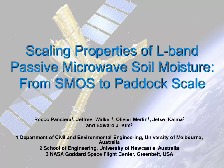
Scaling Properties of L-band Passive Microwave Soil Moisture: From SMOS to Paddock Scale. Rocco Panciera 1 , Jeffrey Walker 1 , Olivier Merlin 1 , Jetse Kalma 2 and Edward J. Kim 3 1 Department of Civil and Environmental Engineering, University of Melbourne, Australia

E N D
Scaling Properties of L-band Passive Microwave Soil Moisture: From SMOS to Paddock Scale Rocco Panciera1, Jeffrey Walker1, Olivier Merlin1, Jetse Kalma2 and Edward J. Kim3 1 Department of Civil and Environmental Engineering, University of Melbourne, Australia 2 School of Engineering, University of Newcastle, Australia 3 NASA Goddard Space Flight Center, Greenbelt, USA
Statement of the Problem • Large footprint of passive microwave observations (30-50km) • Soil moisture retrieval algorithms developed with tower based studies (~10m): - Homogeneous conditions - Algorithms are non linear • Algorithms need to be tested with real coarse scale data • Sub-pixel heterogeneity effect on operational soil moisture retrieval schemes needs to be assessed Rocco Panciera
Statement of the Problem High resolution Tb Low resolution Tb Tb = 181.2K Radiative transfer model soil moisture Retrieved footprint moisture content ? 0.28 v/v Mean water content 0.36 v/v ….What happens at satellite footprint scale? A simple case • Bare soil • Uniform soil temperature = 317.5K • Uniform soil type = Silty Clay Loam Rocco Panciera
Objective Verify applicability of current retrieval algorithms at coarse scale (40km) using real L-band data • Algorithm: SMOS L2 algorithm • Data: NAFE’05 L-band data Rocco Panciera
Approach SMOS L2 1km soil moisture product Aggregation 40km footprint 40km soil moisture product SMOS L2 40km Ground soil moisture 1km pixels ? Rocco Panciera
Aggregation to 40km Footprint +1.3 +1.7 +1.8 62.5m 250m 500m 1km • 16 dates • Daily calibrated • Nadir-referenced for comparison Linear aggregation of Tb is reliable Rocco Panciera
Model Description Soil moisture L-band observation Soil/canopy temperature L-MEB model (i) SOIL TYPE Optimization Surface type dependent parameters Simulated L-band emission % surface type “i” In pixel Land cover type • SMOS Level-2 algorithm • Mixed pixels, 4 surface types Bare soil Grassland Crop Forest • Tau-Omega emission model L-MEB for each over type ( Wigneron et al. 2007, Remote Sensing of Environment) Rocco Panciera
Model Description Assumptions • Soil moisture uniform across the cover types within each pixel • Effective temperature to microwave emission • Optical depth • Optical depth of forests is a constant • No modelling of rainfall interception by plants • Only dominant cover type modelled @ 1km resolution • Open woodland is modelled as grassland Rocco Panciera
Ancillary DataLandcover Landsat derived landcover map (25m) Dominant cover type @ 1km resolution Rocco Panciera
Ancillary DataVegetation Water Content VWC • Experimental relationship VWC vs NDWI 0 Crop Grassland Rocco Panciera
Ancillary DataSoil/Canopy Temperature Effective soil temperature to microwave emission 8 stations • Ts 2.5cm • Ts15cm • Assumptions: • TSOIL_DEPTH = Average of T15cm • TSOIL_SURF = Average of T2.5cm • TCANOPY = TSOIL_SURF Rocco Panciera
Ancillary DataSurface Type Dependent Parameters (Wigneron, J. P. ,Personal communication) HR=1.3 -1 .13 * (SM) (Saleh et al. ,2007 SMOSREX site) Rocco Panciera
Validation of 1km Product Results to Date Nov 7 Nov 14 Nov 21 Retrieved soil moisture (v/v) Rocco Panciera
Validation of 1km Product Results to Date Soil moisture error (v/v) (retrieved – observed) Nov 7 Nov 14 Nov 21 Rocco Panciera
Parameter Calibration • Estimation HR= a + b *(SM) Rocco Panciera
Where To Improve? • Improve estimation of HR= f(soil moisture) • Improve estimation of bfor crops • Finer scale soil type map • Better TEFFestimation from ground data • Use MODIS thermal to estimate TCANOPY • Improvement in landcover map Rocco Panciera
Conclusions NEXT…………. • Retrieval from simulated 40km Satellite pixel • Assessment of performance of algorithm at different scales • Validation of SMOS L2 retrieval scheme with real data undergoing @ 1km resolution • Demonstrated reliability of linear Tb aggregation for satellite footprint simulation • Insights into effect of crucial surface roughness parameter at aircraft scales Rocco Panciera
Thank you Rocco Panciera