Download
1 / 15
150 likes | 219 Views
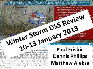
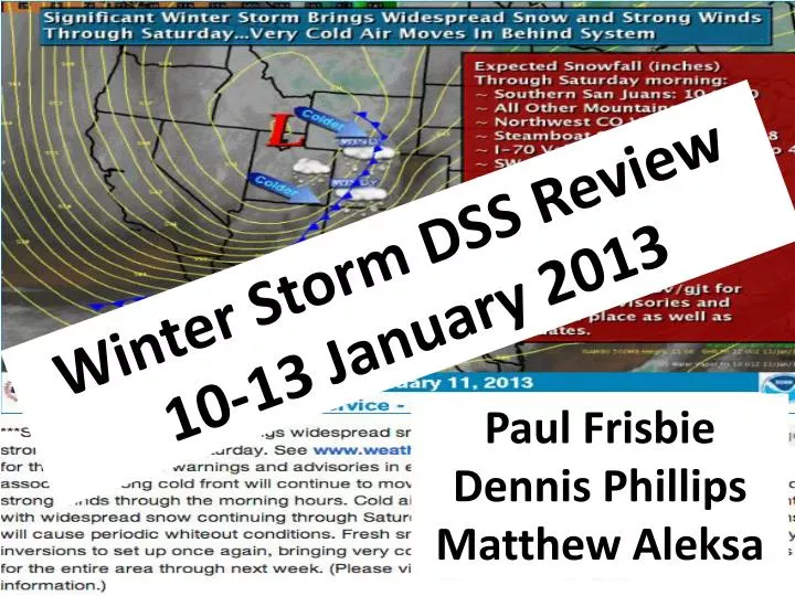
Winter Storm DSS Review 10-13 January 2013. Paul Frisbie Dennis Phillips Matthew Aleksa. Timeline (How Did Things Change?). 5. High Confidence (San Juans and Pagosa , Valley inversions break, Cold front timing) Low Confidence (Post frontal snow). 9. Dynamics shifted

E N D
Winter Storm DSS Review 10-13 January 2013 Paul Frisbie Dennis Phillips Matthew Aleksa
Timeline (How Did Things Change?) 5. High Confidence (San Juans and Pagosa, Valley inversions break, Cold front timing) Low Confidence (Post frontal snow) 9. Dynamics shifted on to plains. Lee-side sfc low. Scattered convective Showers. Special Weather Statement Issued 3. Wording Changed On Watch 7. Quicker Cold Front TUE 1/08 WED 1/09 THU 1/10 FRI 1/11 SAT 1/12 5am 5am 2pm 11pm 10am 11pm 6am 9am 11am 4pm 6am 2. Winter Storm Watch Issued 6. Uinta Basin Added to Advisory 8. Vernal: 4-6” report. Upgraded to warning. 10. Early cancellations. Dry and cold air mass post-frontal. 4. Watch Upgraded
From FEMA: If stranded in a vehicle during a winter storm with extreme cold: “Run the engine and heater about 10 minutes each hour to keep warm. When the engine is running, open a downwind window slightly for ventilation and periodically clear snow from the exhaust pipe. This will protect you from possible carbon monoxide poisoning.” Photo: Craig Daily Press 28 January 2008 CSP advised motorists to seek shelter
Special Weather Statement/Watch – Potential Impact Based Talking Points • Significant accumulations of powdery snowfall (average confidence) • Gusty surface winds in the post frontal environment (above average confidence) • Falling Daytime Temperatures - Highs 15-25 and falling (above average confidence) • Warnings/Advisories/Outlooks – May NOT Always Focus on Snowfall Amounts • If stranded – • Hypothermia Risk • Clogged exhaust (from snow) and Running Engine to Stay Warm – • Increased Carbon Monoxide Risk • Risk to Backcountry Recreationalist
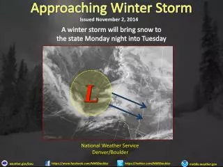
Other Considerations! Travel Day? Broncos – Ravens NFL Playoff Game is the following day after storm. Falling Daytime Temperatures (Wind Chill a factor) – Not uncommon in winter, but not typical. Do “Advisories” address the enhanced Winter Weather Hazards? Avalanche Hazards (Snowfall and Wind)? Decision: Used “Forecaster Discretion” – Issued strongly worded SPS/Watch Statement Average Confidence that snow amounts may surprise to the upside (track of the upper level system is questionable - does upper low move over western Colorado or shear northeast into Wyoming?)
Friday Afternoon 5PM 700 mb Temperatures, RH, and Wind
Saturday 12th 5 AM MST Friday Max Saturday Max Sunday Min
Observations [Temp, WG (mph), Wx]: Station 6AM 9AM Noon 3PM 6PM Douglas Pass (CDOT) 15 10 8 10 6 G51 G30 G27 G21 G13 Rabbit Ears (SNOTEL) 19 15 9 6 5 Wolcott (CDOT) 25 23 26 17 14 G18 G12 G13 G15 G17 Skyway (CAIC) 5 1 0 1 -4 G31 G23 G23 G16 Vail Pass – CDOT Yard 15 9 4 3 -2 (CAIC) G10 G21 G24 G21 G17 Dowd Junction (CDOT) 22 17 20 13 12 G45 G44 G37 G35 G30 S+ S- S- S-- Taylor Park 19 14 14 12 9 Storm King Mountain 16 13 9 7 5 (Raws) G35 G18 G11 G12 G10
Observations [Temp, WG (mph), Wx]: Station 6AM 9AM Noon 3PM 6PM Aspen (CDOT) 34 28 28 19 18 G15 G16 G12 G12 S- S- S- Telluride – Lawson Hill 15 10 14 13 3 (CDOT) G30 G21 G23 G20 G11 S- S- S-- S-- Lizard Head Pass (SNOTEL) 12 7 7 9 1 Red Mountain Pass (SNOTEL) 11 4 4 2 -5 Molas Pass (CAIC) 9 2 0 0 -4 G32 G26 G24 G20 G13 Durango (CDOT) 25 20 23 20 15 G22 G21 G22 G18 G11 S- S- S-- S-- S-- Pagosa Springs (CDOT) 21 18 17 18 11 G29 G22 G27 G17 G15