Download
1 / 19
200 likes | 218 Views
Earthquake Studies And Earthquake Monitoring in Bangladesh. Syed Humayun Akhter Dhaka University Earth Observatory Department of Geology, University of Dhaka, Dhaka 1000, Bangladesh Email: shakhter@univdhaka.edu. IRIS Metadata Workshop

E N D
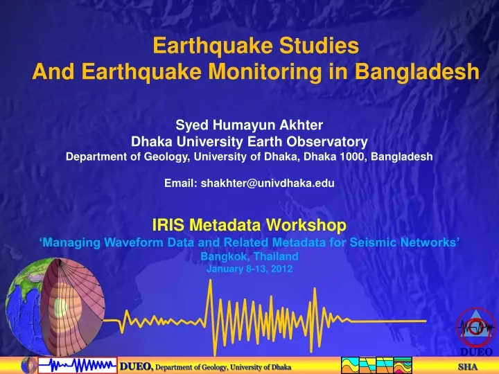
Earthquake Studies And Earthquake Monitoring in Bangladesh Syed Humayun Akhter Dhaka University Earth Observatory Department of Geology, University of Dhaka, Dhaka 1000, Bangladesh Email: shakhter@univdhaka.edu IRIS Metadata Workshop ‘Managing Waveform Data and Related Metadata for Seismic Networks’ Bangkok, Thailand January 8-13, 2012
6 cm/yr 2 cm/yr E U R A S I A N P L A T E Himalaya Arc B U R M E S E P L A T E Burma Arc I N D I A N P L A T E Active Subduction Zone Spreading Andaman Sea Tectonic setup of Bangladesh
1934 M8.4 Fault Main Boundary 1548 M?? 1897 M8.7 Dauki Fault 1918 M7.6 Sylhet-Assam Fault 1954 M7.7 1885 M7.5 Modhupur Fault DHAKA POTENTIAL SOURCES OF MAJOR EARTHQUAKE Chittagong-Myanmar Fault 1762 M8.5+
Rapid population growth and urbanization increases earthquake hazard, strain on groundwater resources Growth of Dhaka 1989 2010 Images from Chris Small http://www.ldeo.columbia.edu/~small/dBang
Dhaka city: Rapid urbanization (unplanned) Area: 360 sqkm; Population: 9 million Population density: 25000/sqkm Population increase: 4.2% per year 1979
SEISMIC & GPS NETWORK IN BANGLADESH Networks: 2 1. Dhaka University Earth Observatory -- Participating Universities: 7 • Dhaka University • Rajshahi University • Khulna University • Shajalal University of Science & Technology (SUST) • Chittagong University • Chittagong University of Engineering & Technology (CUET) • Patuakhali Science & Technology University (PSTU) University Consortium Seismic Stations -- 6 permanent & 6 portable GPS Stations -- 18 continuous 2. Bangladesh Meteorology Department (BMD) Seismic Observatories – 4 GPS Stations -- 4
SEISMIC & GPS NETWORK IN BANGLADESH DUEO & L-DEO Collaborative Research Program Permanent stations 1 Broadband Seismometer at Dhaka University – since 2003 2 Broadband + 1 Short Period Seismometers installed in May 2008 2 Short Period Seismometers – CUET & SUST – 2009 & 2011 Rajshahi University, Khulna University & PSTU Portable Seismic Array 3 BB & 3 SP Seismometers – Sylhet Array -- February 2007 – Tangail Array -- October 2008 – Chittagong Array -- August 2010 Bangladesh Meteorology Department (BMD) 6 Broadband Seismometers (2 borehole) -- June 2007 4 Short Period Seismometers– June 2007
Seismometer Specifications Sensors (a) Broadband -- Guralp, UK, CMG 40T (b) Short Period -- Mark Products, L-43D and L22D (c) Intermediate band -- Kinemetrics, USA, SV1/SH1, T0 (d) Broadband -- Geotech Instrument LLC, Dallas, KS-2000, 3 component with 120s to 50 Hz nearly flat response to input ground velocity. (e) Short Period -- Geospace LP, HS-10, vertical- or horizontal-component seismometer with natural period, T0=1s, and nominal gain of 118 V/M/s. Data Loggers (a) RT130 -- RefTek – 6-channel 24-bit A/D(b) RT72A-08 -- RefTek -- 3-channel 24-bit A/D(c) RT72A-02 --RefTek -- 6 channel 16-bit A/D Softwares PQL, Earthworm, Swarm, Hypoinverse & Antelope
Continuous GPS 2007 Portable Seismic Array 2007-2008 2011 Permanent GPS installed 2003 and Permanent Seismic 1 - 2003; 5 - 2008 DUEO – LDEO Joint Research Program
Tangail Array northwest of Dhaka, Nov. 2008-July 2010 • Small earthquakes detected and located in Tangail area • Cluster of earthquakes located in SW of Dhaka • Need to evaluate earthquake hazard at Dhaka
27 small earthquakes are located, Md 1.4-3.1 • Focal depths, • 15 - 30 km • Construct a good velocity model for accurate location (3D?) • Need to develop a magnitude scale based on seismic moment Example Earthquake Catalog for Nov. 2008-May 2009 Near Dhaka, Bangladesh ------------------------------------------------------------------------------------------------------- Id Date Time Latitude Long. Depth Mag rms Eh Ez Gap (yr-mo-dy) (hh:mm:ss) (ºN) (ºE) (km) (Md) (s) (km) (km) (º) ------------------------------------------------------------------------------------------------------- 2008-11-18 23:00:44.55 23.475 90.719 28.2 3.0 0.08 0.99 0.33 329 2008-11-18 23:15:20.65 23.546 90.792 22.3 2.7 0.17 1.26 0.78 325 2008-11-18 23:16:43.21 23.631 90.845 14.5 1.6 0.33 2.23 31.61 321 2008-11-19 02:27:04.73 23.649 90.823 15.0 1.4 0.04 0.48 31.61 321 2008-11-19 14:46:44.64 23.536 90.762 23.1 2.2 0.14 0.96 0.51 326 2008-11-20 09:22:49.93 23.633 90.806 15.0 1.5 0.26 2.12 31.61 321 2008-11-21 07:28:48.18 23.724 90.833 15.0 1.5 0.06 0.51 31.61 317 2008-11-29 06:54:55.16 23.950 93.687 15.3 2.7 0.15 2.44 31.61 346 2008-12-03 09:31:50.82 23.541 90.779 25.1 1.8 0.14 1.01 0.42 325 2008-12-14 20:34:40.93 23.530 90.744 27.5 2.2 0.23 2.55 1.14 326 2009-01-01 16:37:22.89 25.015 91.773 14.5 2.5 0.43 3.89 31.61 329 2009-01-05 07:04:05.93 23.061 88.958 15.2 2.5 0.15 1.23 31.61 328 2009-01-06 16:03:28.25 24.473 89.895 27.6 2.2 0.12 0.68 0.32 173 2009-01-24 05:27:21.00 25.242 91.377 17.5 2.2 0.11 2.02 31.61 338 2009-01-29 00:35:00.18 23.917 88.958 8.7 2.5 0.29 3.59 1.65 316 2009-02-08 22:58:40.29 24.031 91.382 17.7 2.5 0.16 1.23 0.67 325 2009-02-15 19:35:55.03 26.174 89.731 16.1 3.1 1.64 56.66 31.61 351 2009-02-19 18:17:34.32 23.527 90.788 19.4 1.7 0.15 1.28 2.19 326 2009-03-04 03:56:14.54 24.146 89.866 14.9 1.0 0.50 2.09 31.61 209 2009-03-12 22:57:43.63 24.546 91.158 13.4 1.5 0.29 1.56 31.61 320 2009-03-12 22:57:45.44 24.516 91.057 15.0 1.6 0.26 2.30 31.61 317 2009-03-18 22:12:35.85 25.319 89.918 9.2 2.6 0.21 2.83 1.78 344 2009-03-24 10:59:35.07 24.402 90.249 33.2 1.4 0.18 1.05 0.60 229 2009-04-10 15:34:34.60 24.879 91.309 15.0 2.2 0.57 4.50 31.61 356 2009-04-13 21:11:18.15 24.080 91.316 14.2 2.0 0.39 2.71 2.29 313 2009-04-13 23:02:26.33 24.074 91.506 11.5 1.7 0.33 2.65 2.81 327 2009-05-04 09:18:46.15 23.540 89.838 15.0 1.4 1.19 9.13 31.61 292 ------------------------------------------------------------------------------------------------------- * Md=coda duration magnitude; Ez =31.61 km when it was not resolved.
Present Seismic Array • During the 1st year of PIRE Project (since Aug. 2010), Seismic stations are spread around Bangladesh to cover various topics in the project. • We will deploy additional six stations at Sylhet, Chittagong and Dhaka regions.
Portable seismometer Kanaighat Permanent seismic station Dhaka GPS, Sitakund GPS, Dhaka We established a basic networks of seismometers and GPS in collaboration with LDEO and support from NSF Portable seismometer Sylhet
Transformation of Seismic and Geodesy Laboratory with modern training facility with support from USAID
Fostering A Bangladeshi Seismological Community Through Training And Facility Development Workshop participants
DHAK Roof of Geology Building, Dhaka University
Future Program -- continue present EQ monitoring program -- add more seismic stations to the network -- real time data acquisition from all stations -- earthquake catalog -- continue earthquake training program -- develop mass awareness -- develop cell phone base shake map