Download
1 / 64
640 likes | 654 Views
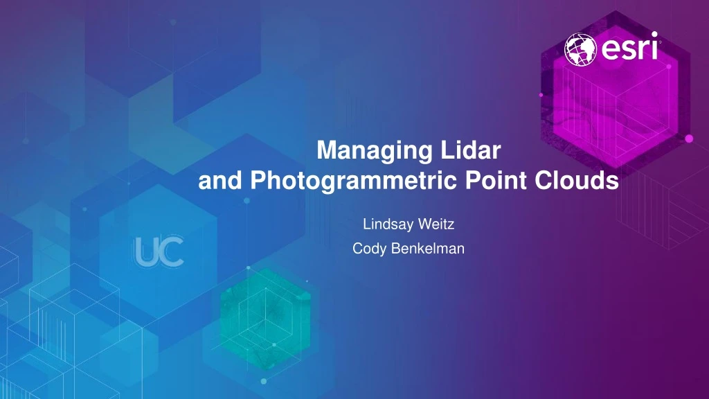
Managing Lidar and Photogrammetric Point Clouds. Lindsay Weitz Cody Benkelman. Presentation Context. What is lidar, and how does it work? Not this presentation! What can you do with lidar in ArcGIS? What does Esri recommend as best practices for processing and managing lidar data?

E N D
ManagingLidar and Photogrammetric Point Clouds Lindsay Weitz Cody Benkelman
Presentation Context • What is lidar, and how does it work? Not this presentation! • What can you do with lidar in ArcGIS? • What does Esri recommend as best practices for processing and managing lidar data? • What about other point clouds (from photogrammetry)? Managing Lidar
Presentation Outline • Data structures • LAS and zLAS formats • LAS Dataset – for lidar & surface constraints • Terrain Dataset – for lidar & surface constraint • Mosaic Dataset – for lidar & raster data management • Data management • QC & Derived products • Automation & Sharing Managing Lidar
Data Structures for Lidar support in ArcGIS Analyze and update LAS dataset Terrain dataset LAS dataset / Terrain dataset File01.las File02.las … File99.las Manage, serve, share Tiled/overlapping extents (location/time) Mosaic dataset Multiple files/folders Managing Lidar
Types of Point Clouds • Airborne scanned based lidar • Airborne Geiger mode lidar • Mobile lidar • Tripod based lidar • Photogrammetric point clouds ArcGIS
Application Fusion: ArcGIS Pro ArcMap ArcCatalog ArcGlobe / ArcScene
Lidar data storage LAS files • Binary file format developed by ASPRS • Metadata in a header block • Individual record for each laser pulse recorded • Directly readable by ArcGIS • Most common format for lidar and other point clouds (e.g. from photogrammetry), but designed as an exchange/archive format, not optimized for operational use… Managing Lidar
Lidar data storage zLAS • Introduced January 2014 • Compression, sorting, and indexing • Direct read • Parallel decompression added to ArcGIS apps in 10.3 • Features & Benefits • Re-sequence points w/ geospatial index • Optimized for random access • Lossless compression • Transparent integration with LAS dataset Managing Lidar
zLAS • Free!! Does not require ArcGIS • Support added in 10.2.1 and ArcGIS Pro • New Tile LAS tool can output zLAS • Standalone application “EzLAS” on Resource Center • http://esriurl.com/zLAS • API available for developers • https://github.com/Esri/esri-zlas-io-library • For more info: • http://blogs.esri.com/esri/arcgis/2014/01/10/esri-introduces-optimized-las/ • http://www.lidarnews.com/content/view/10214/2/ Managing Lidar
Rearranging Point Records Spatial distribution of points Physical location in file
Rearranging Point Records Spatial distribution of points Physical location in file
LAS dataset Lindsay Weitz Managing Lidar
Lidar data with a LAS dataset • Direct read of LAS or zLAS format lidar • File based • QA/QC tools • Stores references to LAS/zLAS files on disk • Optionally reference breakline and control point data • Treats a collection of LAS/zLAS files as one logical dataset (“Project”) Managing Lidar
Create a LAS dataset • Interactively through ArcCatalog • Use the file folder context menu • Using scripts and models withgeoprocessing tools Managing Lidar
QA\QC: LAS file based statistics LAS Dataset Properties: LAS File Statistics Managing Lidar
QA\QC: LAS dataset based statistics LAS Dataset Properties: LAS Dataset Statistics Managing Lidar
Edit classification codes Interactive Fixing data anomalies and misclassifications viapoint profile window New ArcGIS Pro 1.3 can interactively edit!!! Automated (GP tools) Classify relative to feature data Reclassify to standard LAS specification Managing Lidar
Locate LAS Points By Proximity Data courtesy of PhotoScience
Extract LAS Data courtesy of Optech
Lidar/3D Sample Tools • Available in ArcGIS 10.2 / 10.3 / 10.4 • Sample geoprocessing tools • Esri 3D Resource Center • http://links.esri.com/3dSamples
Best Practices • Tiled LAS, v1.1 or higher • Projected, rearranged, indexed • zLAS • File size: 1 – 2 GB or less (<500 MB if not rearranged) • Keep file I/O local, avoid network • Study area boundary included as constraint • Airborne lidar • Classified (bare earth, non-ground) • Breaklines for hydro enforcement • Terrestrial lidar • RGB & intensity values, classified * Also applies to photogrammetric point clouds
Terrain dataset Lindsay Weitz Managing Lidar
Managing lidar data in a terrain dataset • A Terrain dataset is a multi-resolution surface created from measurements stored in feature classes • Typical applications: • Topographic mapping • Bathymetric mapping • Typical data sources: • Photogrammetric data • Lidar • Sonar Managing Lidar
Multiresolution surface model Points and breaklines Terrain Pyramids Full resolution lidar point set Thinned lidar point set Multiresolution terrain dataset (TIN structure) Managing Lidar
Terrain dataset advantages • Scalability • Large collections of mass point data (e.g. LIDAR) have been a problem • Data integration • Need surface to live with source data • Data management • Database tools • Editing/update • Multi-user Managing Lidar
Terrain dataset editing • Updating via editing of source measurements • Appending, removing, replacing mass points by area • Standard and custom edit tools for modifying polylines, polygons, spot heights • Terrain rebuild based on dirty areas • Support for versioning in SDE Managing Lidar
DEMO LAS dataset demo Lindsay Weitz Managing Lidar
Mosaic Dataset Cody Benkelman Managing Lidar
Introduction / Review • LAS Datasets • For individual projects; support access to 3D points, w/ filtering, toward analysis • Terrain datasets • For organizations creating, editing, & maintaining authoritative DTM • For managing multiple projects, and accessing 3D surfaces (DTM, DSM), Mosaic Dataset is recommended • Post QC, organized by project via LAS Datasets *or* • Managed within a Terrain Dataset Managing Lidar
Image Management Workflow Using Mosaic Datasets Highly Scalable, From Small to Massive Volumes of Imagery Create Catalog of Imagery Reference Sources Ingest & Define Metadata Define Processing to be Applied Apply: On-the-fly Processing Dynamic Mosaicking Access as Image or Catalog Notes edited Desktop Large Image Collections Mosaic Dataset
Image Dissemination Integrating with / and in The Cloud • Dynamic Image Services • Processing & Analysis • Catalog of Metadata • Geoprocessing Services • Processing Tasks Desktop ArcGIS Server on Premise or in the Cloud Large Image Collections Mosaic Dataset Desktop, Web & Mobile Users
Image Dissemination ArcGIS Online Integrating with / and in The Cloud Massive Accessibility Content Management Register With ArcGIS Online Portal ArcGIS Online Desktop ArcGIS Server on Premise or in the Cloud Large Image Collections Mosaic Dataset Desktop, Web & Mobile Users
Adding lidar data to a mosaic dataset (Method 1) DSM Mosaic Dataset (Raster Type = LASD) • Advantages • Fastest method to begin using & sharing raster surfaces • Filter to create custom surfaces (e.g. buildings & DTM, remove vegetation) Project LAS/zLAS Files LASD QC DTM Mosaic Dataset (Raster Type = LASD) EDIT
Adding lidar-derived data to a mosaic dataset (Method 2) DSM Mosaic Dataset • Advantages • Most scalable • Best performance DSM raster tiles Project LAS/zLAS Files LASD Export Export DTM raster tiles QC DTM Mosaic Dataset EDIT
Lidar data management using Mosaic Datasets • Design • Begin with Elevation data management • In most organizations, DTM & DSM supports the majority of users • Support download for 3D point data users • Build & Maintain • Automation (see Image Management Workflows) • Share • Within an organization • With external users Managing Lidar
Elevation data management using Mosaic Datasets • Manage each project separately (LASD) • Create tiled DTM and DSM for ingestion into Mosaic Dataset • Combine multiple projects into single repository • Manage DTM and DSM as base data, provide other products on demand • hillshade, slope, ellipsoidal height, etc. • For users needing source 3D points (lidar/photogrammetry), allow data download Managing Lidar
Source Mosaic Datasets Source Data QC USGS NED QC SRTM QC LAS project #N Manage each project separately Managing Lidar
Source Mosaic Datasets Derived Mosaic Dataset (DTM or DSM) Source Data USGS NED SRTM Raster Type = Table LAS project #N Link projects into single repository Managing Lidar
Referenced Mosaic Datasets Source Mosaic Datasets Derived Mosaic Dataset (DTM or DSM) Source Data Orthometric Height USGS NED Hillshade f f f f Slope SRTM Aspect LAS project #N Slope Map Link projects into single repository Managing Lidar
Referenced Mosaic Datasets Source Mosaic Datasets Derived Mosaic Dataset (DTM or DSM) Source Data Orthometric Height USGS NED Hillshade f f f f Slope SRTM Aspect LAS project #N Slope Map New lidar project Managing Lidar
Referenced Mosaic Datasets Source Mosaic Datasets Derived Mosaic Dataset (DTM or DSM) Source Data Orthometric Height USGS NED f SRTM Alternative: Raster Function Templates (RFTs) allow client app to select & control functions on a single service Hillshade Slope LAS project #N Aspect Ellipsoidal Height New lidar project Managing Lidar
DEMO Multiresolution Elevation Data Managing Lidar
Advantages/Objectives of Automation • Productivity • Repeatability, Scalability, Maintainability • System Documentation to facilitate QA & QC, Design Review • Training/Examples • Encapsulate best practices • Reusable templates • Simplicity • Options for creating Mosaic Datasets: • Manual • ModelBuilder • Python Managing Lidar