Download
1 / 13
130 likes | 405 Views
Basic GPS Surveying Techniques. Presented by: Neil Gray, Teacher-in-Charge, Columboola EEC. On behalf of ICT Innovators Centre, STiS Project. Surveying Techniques. 3 Levels of GPS Surveying

E N D
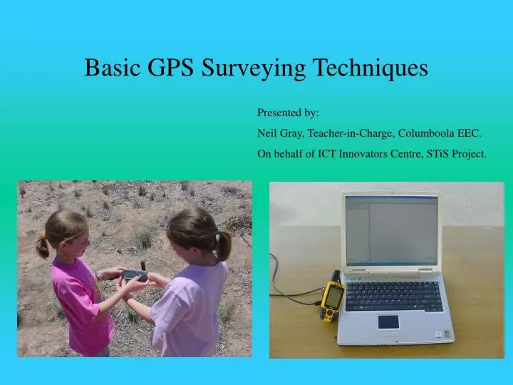
Basic GPS Surveying Techniques Presented by: Neil Gray, Teacher-in-Charge, Columboola EEC. On behalf of ICT Innovators Centre, STiS Project.
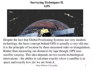
Surveying Techniques • 3 Levels of GPS Surveying • Point Positioning – uses stand alone receivers, taking measurements from the code carried on the signal. Many sources of error adding up to 10 – 15 metres with Selective Availability turned off. • DGPS (Differential) – uses two receivers recording position data concurrently. One Base receiver is set up at a known position and the data from this is compared to rover data to allow a correction. • Precision Surveying (Phase Observable) – differential technique based on the carrier phase, not the codes. Direct radio signal measurement results in errors being reduced to the mm-cm level.
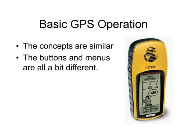
Point Positioning • Uses recreational level GPS units. Any particular point measurement will be within 10-15 m of a known point. (Under ideal conditions, this error range could be worse under less than favourable conditions.) This reading will cycle around the point over time. • Accuracy can be improved by averaging, that is by taking a minimum of 10 readings for a required point over a 10-20 minute period and averaging the results to determine the point. • The results of this process are displayed on the following slides.
Surveying exercise completed for a single point. Data displayed using MapSource.
UTM positions can be seen in the data table for the program. Note how similar most appear in terms of at least one parameter.
The same points displayed in DNRGarmin. Note how different the points are now in terms of the cartesian coordinates (x & y proj.). This is because the program records the position without rounding off.
The previous 10 records of the one position have been sent to a GIS for display. Here it can be easily seen how a GPS unit scatters the readings even though the readout might show an unchanging Cartesian coordinate!
DNRGarmin can calculate a mean value, standard deviation and circular error of probabilities to enable statistical analysis and determination of the point (mean). Click “Edit”
The mean value can be used to create a new point in DNRGarmin. This can be saved to the GIS for display. Note the mean point positioned at the cross.
The mean (known) value is actually none of the measured points but a best fit for the analysed records. The scattering of the records is caused by inherent errors in the GPS system used namely: • Clock Errors • Signal Multipath • Dilution of Precision (SV constellation) • Atmospheric Factors • Human Error • All GPS based measurements need some degree of processing to improve base level accuracy, professional grade units have this feature built in at a significant cost.
Other Surveying Techniques • Recreational GPS is affected by buildings, vegetation and fences. • Surveying to these objects may require more traditional measurement techniques. • Some options include – offset points or lines, measuring distances and bearings from known points.
Other Surveying Techniques • DGPS • Base units with the software and a subscription to a DGPS service are costly ($1000’s). • Precision Surveying • As above except the cost can now be very high ($10000’s).