Download
1 / 15
150 likes | 153 Views
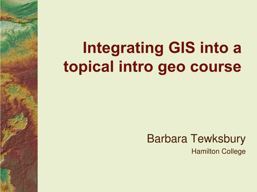
An example from Hamilton College of incorporating GIS as a tool in introductory geology courses through real GIS analysis for students. Includes course-specific activities and modules.

E N D
Integrating GIS into a topical intro geo course Barbara Tewksbury Hamilton College
An example from Hamilton College GIS integrated as a tool in intro geo courses NOT point and click GIS Real GIS analysis for students Two components Intro GIS modules for all courses Course-specific activities
Intro modules • What we needed • A hook • Activities to practice techniques in ArcMap without getting bogged down in projections, coordinate systems, data structures, etc. • Geo-specific basic intro
Three intro modules • Written as self-guiding tutorials • Accompanied by GIS primer where students can look things up • Have integrated geoscience questions • Available at serc.carleton.edu/NAGTWorkshops/intro/activities/25063.html
Course-specific activities • Example: Geology and Human Events in Africa and Middle East • Variety of GIS projects in Egypt • Designed to emphasize analysis, rather than teaching GIS techniques • Students receive repeated practice in basic GIS techniques and learn new ones in context of solving the analysis
Field trip • Prepare hillshaded from LiDAR• In field: fluvial history of Mohawk River?
Field trip • Prepare DEM hillshade and bedrock map• In field: control of bedrock geo on topog?
Earthquakes in ArcScene Follow up with ArcScene of eqs in E. Med and N.Africa to evaluate risk to Aswan High Dam.
Water resources, Egypt Why don’t the Egyptians integrate the Toshka Lakes Into New Valley water plans?
Qattara Depression Solar Hydroelectric What is the optimum configuration for power generation, and is it worth it?
North Darfur Paleolake How big might the lake have been? What field studies would you do, and what would you look for?
Generalizing • Students do not need full GIS course • Teach them only what they need to know to do the analyses • Use GIS where other types of analyses are inadequate • Use GIS for problem-solving, not point-and-click