Download
1 / 3
30 likes | 213 Views
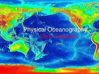
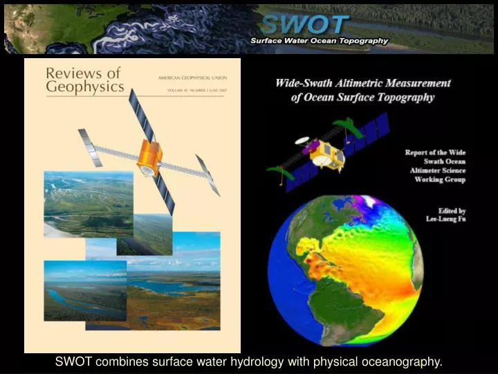
SWOT combines surface water hydrology with physical oceanography. 3. Measurements Required maps of h, which give maps of dh/dt and dh/dx. 1. The Problem. In-situ cannot measure this. Perspective view of dh/dt. Ohio R. from SRTM. dh/dx. h.

E N D
SWOT combines surface water hydrology with physical oceanography.
3. Measurements Required maps of h, which give maps of dh/dt and dh/dx 1. The Problem In-situ cannot measure this Perspective view of dh/dt Ohio R. from SRTM dh/dx h 4. The Solution KaRIN: Ka-band Radar Interferometer. SRTM, WSOA heritage. Maps of h globally and ~weekly. Floods are the number one hazard 2. The QuestionWhat is the spatial and temporal variability of freshwater stored in the world’s terrestrial water bodies? bprc.osu.edu/water
T/P Jason 100 km 3. Measurements Required Maps of h, which give maps of dh/dt and dh/dx allowing derivation of velocity, vorticity, and stress tensor. 1. The Problem Altimeters miss considerable ocean area. Model based velocity 2. The QuestionWhat are the energy dissipation, ocean circulation, and climate implications from oceanic eddies which contain 90% of the kinetic energy, but are ~10 km scale in cross-stream direction, e.g. Gulf Stream, Kuroshio. 4. The Solution KaRIN: Ka-band Radar Interferometer. SRTM, WSOA heritage. Maps of h globally and ~weekly. bprc.osu.edu/water