Download
1 / 29
290 likes | 420 Views
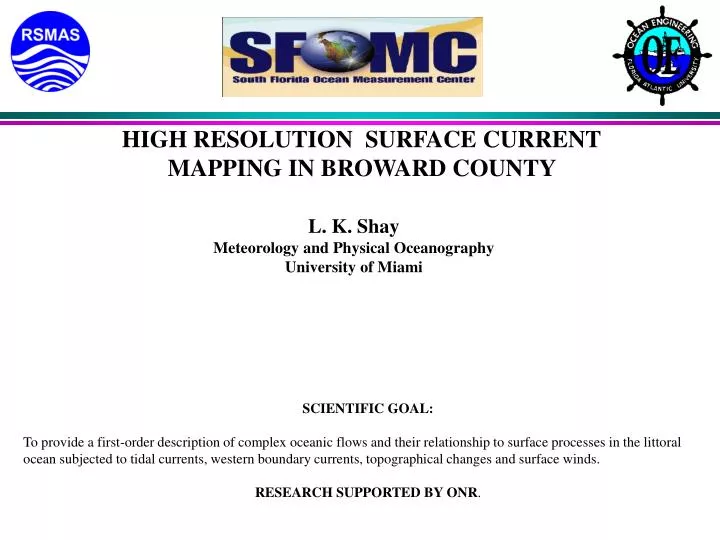
HIGH RESOLUTION SURFACE CURRENT MAPPING IN BROWARD COUNTY. L. K. Shay Meteorology and Physical Oceanography University of Miami. SCIENTIFIC GOAL:

E N D
HIGH RESOLUTION SURFACE CURRENT MAPPING IN BROWARD COUNTY L. K. Shay Meteorology and Physical Oceanography University of Miami SCIENTIFIC GOAL: To provide a first-order description of complex oceanic flows and their relationship to surface processes in the littoral ocean subjected to tidal currents, western boundary currents, topographical changes and surface winds. RESEARCH SUPPORTED BY ONR.
Acknowledgments: • Jose Vasquez (Hollywood Beach) • Jim Davis (Broward County Parks) • Sid Leve/Renate Skinner (State Parks) • Tom Metz/Garth Jensen (US Navy SFTF) • Stan Dunn (FAU OE Dept) • DEP (Steve Higgins, Lou Fisher) • June Carpenter (Residence)
OSCR Worker Bees • Brian Haus • Tom Cook • Jorge Martinez • John Brown • Daniel Jacob • Jerry Killingsworth
LITTORAL ZONE • Complex Coastal Processes. • 2-D/ 3-D Flow Fields. • Boundary Current & Topography. • Waves & Boundary Layer Winds. • Impact: Civilian and US Navy Needs. • Radar/AUV/Mooring/Ship-based Approach. • Applicable to Any Theater.
VHF RADAR • Phased Array 32 Elements. • Electronic Beam Forming. • 700 Cells (250 m resolution). • 60 km Square Domain. • 20 Minute Sample Cycle. • Theoretical Limit 11 km. • Spectra and Currents.
ENGINEERINGOBJECTIVES: • Design/Implement Multiple ADCPs as Part of AUV Payload. • Evaluate Side-Looking Beam Orientations. • Map Currents Relate To Surface Dynamics. • Train Next Generation Graduate Students (i.e. Tactical Oceanography)
SCIENCE OBJECTIVES: • Coherent Structures (Vortices, Fronts) • Isolate BC and Tidal Flows/Forcing of Iws At Shelf Break. • Expand IWs Into Baroclinic Modes. • Determine Wavenumber Spectra. • Assess Boundary Layer Processes During Storm and Quiescent Periods.
EXPERIMENTALDESIGN • VHF Mode of OSCR (7x9 km: 250 m Cell Spacing). • Ship-Based CTD/ADCP (2x2 km) • 4-AUV Sampling Patterns (0.5-1km). • Cyclesonde. • NOVA/USF Moorings. • NAVY ADCPs.
Surface Current Regimes Strong Florida Current Lobe Structure
Mixed Layer: (Current and Turbulence) Tidal Current: Bottom Boundary: Turbulence: Planned Adverse Weather: 6 and 12-hr repeated grids : 500 m x 500 m. 15-26 hr: 1km x 1km 7 hr: 1 km x .500 km 4-6 hr: 1 km Xsects 12 hr : 500 m x 500 m (March-April 00) AUV MISSIONS
MOVE GOAL: • To assess long-term variability of the Florida Current and its influence on Coastal Circulation and Atmospheric Weather Patterns/Events. • Important to Civilian Needs (Ship Traffic; Pollutant Dispersion; Renourishment.) • Important to Navy (Ship/Radar Signatures; Acoustics;Internal Waves)
APPLICATIONS: • Transport of Sand. • Beach Renourishment. • Sewage Effluent Dispersion. • Search/Rescue Operations (Rafters). • Cruise Lines. • Fishing Industry (Private/Commercial). • Ecology/Biological of Coral Reefs
FRONTAL PASSAGEApril 8-9 2000 http://storm.rsmas.miami.edu/awe00/
FUTURE RESEARCH • Long-Term Monitoring of Florida Current Using HiFAR (100 km range). • Develop Long-Range AUVs (24-48 hr). • Surface/Subsurface Moorings (Cross-Shelf) • Ship-Based Observations (Cross-Shelf) • Drifter-Based Deployments • Modeling/Assimilation
SUMMARY • Synergistic Approach: Synoptic Variability. • Fine-Scale to Submesoscale Processes. • 2-D/3-D Variability not Mean. • Real Time: JTFX (Ships,Aircraft,AUV). • Improve Predictive Capability At Navy Centers. • Train Next-Generation Policy Makers.