Download
1 / 23
230 likes | 304 Views
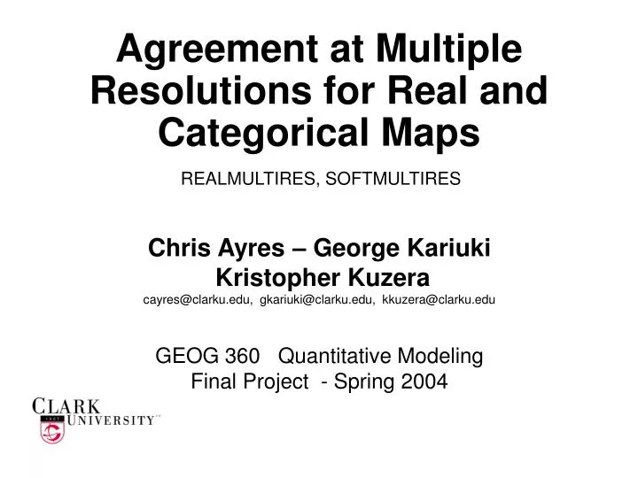
Agreement at Multiple Resolutions for Real and Categorical Maps. REALMULTIRES, SOFTMULTIRES. Chris Ayres – George Kariuki Kristopher Kuzera cayres@clarku.edu, gkariuki@clarku.edu, kkuzera@clarku.edu GEOG 360 Quantitative Modeling Final Project - Spring 2004. Lessons.

E N D
Agreement at Multiple Resolutions for Real and Categorical Maps REALMULTIRES, SOFTMULTIRES Chris Ayres – George Kariuki Kristopher Kuzera cayres@clarku.edu, gkariuki@clarku.edu, kkuzera@clarku.edu GEOG 360 Quantitative Modeling Final Project - Spring 2004
Lessons • Currently, there is no known program available to perform and interpret a MULTIPLE-RESOLUTION ANALYSIS for real and categorical data. • Automation of these processes allows for efficient production and replication of methodologies, with a minimization of human error.
Multiple Resolution Analysis • Multiple resolution analysis compares corresponding pixels of two maps over varying resolutions ranging from fine to coarse. • This helps locate spatial patterns within the dataset and allows for ease in interpretability of the data. • The analysis can distinguish disagreement of quantity from disagreement of location.
Multiple Resolution Example Forest 1999 Urban 1971 Maps of categorical disagreement from fine to coarse resolutionsWorcester County, MA
REALMULTIRES Real variables SOFTMULTIRES Categorical variables MULTIRES Programs 1971 Actual Predicted 1999
Drought Prediction in Southern Africa NDVI deviation at 1x1 km Predicted Map Actual Map Null model would predict zero everywhere.
Drought Prediction in Southern Africa NDVI deviation at 4x4 km Predicted Map Actual Map Null model would predict zero everywhere.
Drought Prediction in Southern Africa NDVI deviation at 16x16 km Predicted Map Actual Map Null model would predict zero everywhere.
Program Implementation: RMSE Perfect Perfect Posterior Uniform Uniform Global In-Stratum Pixel In-Stratum Global INFORMATION OF LOCATION Perfect Posterior Prior INFORMATION OF QUANTITY
Program Implementation: MAE Perfect Perfect Posterior Uniform Uniform Global In-Stratum Pixel In-Stratum Global INFORMATION OF LOCATION Perfect Posterior Prior INFORMATION OF QUANTITY
Interface for REALMULTIRES • Inputs • Working Folder • Actual map • Prediction map • Mask Map • No. of Rows • No. of Cols • Range of resolutions
REALMULTIRESAutomation Benefits • Huge time savings • 2 WEEKS manually becomes 1½ MINUTES automatically. • Minimize Chance of Error, Maximize Efficiency • Repetitive tasks are prone to human error such as typos that could have a big unwanted impact on the results. • RMSE and MAE have great potential for accuracy assessment (drought prediction) The two methods are better than regression at giving useful information to evaluate drought prediction in Africa.
SOFTMULTIRESFlow Chart Read the following variables from input sheet: Comparison Year, Reference Year, Map files, Operators, Number of Categories Read RDC file to determine number of resolutions, rows, and columns. START IDRISI Kilimanjaro Create soft-classified resolution maps for each class at each year. (CONTRACT) Which operator? MULTIPLICATION COMPOSITE Calculate minimum values of similar classes at resolutions. (MINIMUM) MINIMUM Multiply each map with every other at resolutions. (MULTIPLY) Calculate minimum values of comparing maps at resolutions. (MINIMUM) Create gains and losses maps at resolutions. (ADD / SUBTRACT) Multiply gains and losses over 1 - agreement Calculate sum of pixels. (EXTRACT) Calculate sum of pixels. (EXTRACT) Calculate sum of pixels. (EXTRACT) Calculate sum of pixels. (EXTRACT) Sums entered in contingency table at resolutions. Another operator? YES NO Derive statistics from matrices. Graph statistics over resolutions. END
SOFTMULTIRESSoft-Classified Operators • Soft-classified operators allow for multiple class membership per pixel. The pixels are considered “soft”. • Different operators have different interpretations of class membership and location within a pixel. • SOFTMULTIRES allows user to choose any or all operators for their analysis.
SOFTMULTIRESCoefficients of Agreement • Coefficients of agreement determine agreement based on the proportions of categories correctly classified. • These vary depending on which cells of the cross-tabulation matrix are used for calculation. • SOFTMULTIRES derives the above coefficients from generated cross-tabulation matrices.
Interface for SOFTMULTIRES • Inputs • Comparison map year • Reference map year • Number of Categories (maximum 15) • Operator (Multiplication, Minimum, and/or Composite) • Path Directory • Boolean raster images for each category
SOFTMULTIRESAutomation Benefits • SOFTMULTIRES allows for simple recreation of methodology for any two categorical maps. • SOFTMULTIRES produces many coefficients for ease of interpretability. • SOFTMULTIRES reduces processing time. • 40 HOURS manually becomes 10 MINUTES automatically. • SOFTMULTIRES produces hundreds of maps quickly. 4 reference categories x 4 comparison categories x 10 resolutions x 3 operators = 480 images
Lessons • Currently, there is no known program available to perform and interpret a MULTIPLE-RESOLUTION ANALYSIS for real and categorical data. • Automation of these processes allows for efficient production and replication of methodologies, with a minimization of human error.
REALMULTIRES method is based on: Pontius. 2002. Statistical methods to partition effects of quantity and location during comparison of categorical maps at multiple resolutions. Photogrammetric Engineering & Remote Sensing 68(10). pp. 1041-1049. SOFTMULTIRES method is based on: Kuzera, K. and Pontius, R. G. Jr. 2004. Categorical Coefficients of Agreement for Assessing Soft-Classified Maps at Multiple Resolutions. In proceedings TIES 2004. Special thanks to: Clarklabs (www.clarklabs.org) who is incorporating the validation method and the multiple-resolution analysis of categorical maps into the GIS software Idrisi. Ron Eastman who supplied data of NDVI images. Human-Environment Regional Observatory Network for providing Worcester categorical data. Gil Pontius for advising. Olufunmilayo E. Thontteh for collaboration. More information available at the presentation of her Masters Thesis work: “Verification Of Vegetation Index Predictions Using Multiple Resolution Images”. Plugs & Acknowledgements