Download
1 / 19

E N D
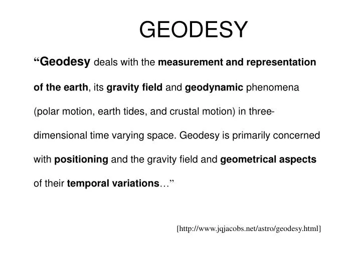
GEODESY “Geodesy deals with the measurement and representation of the earth, its gravity field and geodynamic phenomena (polar motion, earth tides, and crustal motion) in three-dimensional time varying space. Geodesy is primarily concerned with positioning and the gravity field and geometrical aspects of their temporal variations…” [http://www.jqjacobs.net/astro/geodesy.html]
Shape of the Earth It is actually a spheroid, slightly larger in radius at the equator than at the poles We think of the earth as a sphere
Ellipse Z An ellipse is defined by: Focal length = Distance (F1, P, F2) is constant for all points on ellipse When = 0, ellipse = circle b O a X For the earth: Major axis, a = 6378 km Minor axis, b = 6357 km Flattening ratio, f = (a-b)/a ~ 1/300 F1 F2 P
HISTORY The Greek philosopher Aristotle (384-322 B.C.) is credited as the first person to try and calculate the size of the Earth by determining its circumference Around 250 B.C., another Greek philosopher, Eratosthenes, measured the circumference of the Earth using the following equation:(360° ÷ θ) x (s)In this calculation, (s) is the distance between two points that lie north and south of each other on the surface of the Earth. If you were to draw a line from each of these points to the center of the Earth, the angle formed between them would be θ. Eratosthenes computed the circumference to be approximately 25,000 miles and the accepted figure today is about 24,855 miles. Source: http://oceanservice.noaa.gov/education/kits/geodesy/geo02_histr.html
Ellipsoid or SpheroidRotate an ellipse around an axis Z b a O Y a X Rotational axis
Horizontal Earth Datums • An earth datum is defined by an ellipse and an axis of rotation • NAD27 (North American Datum of 1927) uses the Clarke (1866) ellipsoid on a non geocentric axis of rotation • NAD83 (NAD,1983) uses the GRS80 ellipsoid on a geocentric axis of rotation • WGS84 (World Geodetic System of 1984) uses GRS80, almost the same as NAD83
Definition of Latitude, f m p S n O f q r (1) Take a point S on the surface of the ellipsoid and define there the tangent plane, mn (2) Define the line pq through S and normal to the tangent plane (3) Angle pqr which this line makes with the equatorial plane is the latitude f, of point S
P Prime Meridian Equator Meridian plane Cutting Plane of a Meridian
Definition of Longitude, l l = the angle between a cutting plane on the prime meridian and the cutting plane on the meridian through the point, P 180°E, W -150° 150° -120° 120° 90°W (-90 °) 90°E (+90 °) P -60° l -60° -30° 30° 0°E, W
=0-180°W =0-90°S Latitude and Longitude on a Sphere Meridian of longitude Z Greenwich meridian N Parallel of latitude =0° P • =0-90°N - Geographic longitude - Geographic latitude E W O • Y R R - Mean earth radius • =0° Equator • O - Geocenter =0-180°E X
Length on Meridians and Parallels (Lat, Long) = (f, l) Length on a Meridian: AB = ReDf (same for all latitudes) R Dl D R 30 N C B Re Df 0 N Re Length on a Parallel: CD = RDl =ReDl Cos f (varies with latitude) A
Sea surface Ellipsoid Earth surface Geoid Representations of the Earth Mean Sea Level is a surface of constant gravitational potential called the Geoid
Geoid and Ellipsoid Earth surface Ellipsoid Ocean Geoid Gravity Anomaly Gravity anomaly is the elevation difference between a standard shape of the earth (ellipsoid) and a surface of constant gravitational potential (geoid)
Definition of Elevation Elevation Z P z = zp • Land Surface z = 0 Mean Sea level = Geoid Elevation is measured from the Geoid
Vertical Earth Datums • A vertical datum defines elevation, z • NGVD29 (National Geodetic Vertical Datum of 1929) • NAVD88 (North American Vertical Datum of 1988) • takes into account a map of gravity anomalies between the ellipsoid and the geoid
Converting Vertical Datums Point file attributed with the elevation difference between NGVD 29 and NAVD 88 NGVD 29 terrain + adjustment = NAVD 88 terrain elevation