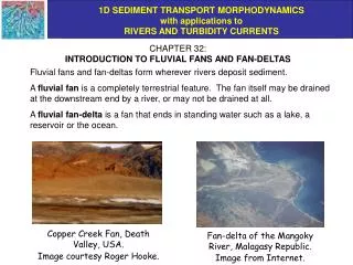
Download
1 / 28
330 likes | 670 Views
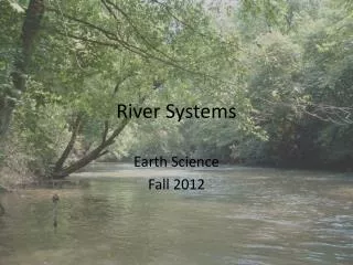
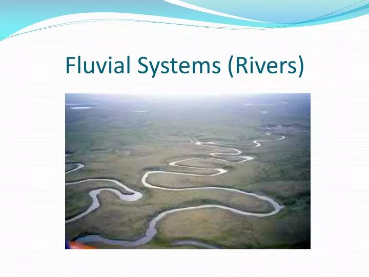
Fluvial Systems (Rivers). Click the link for an interactive tour through the water cycle. http://earthguide.ucsd.edu/earthguide/diagrams/watercycle/. Water that flows across land or is stored above ground is known as surface water.

E N D
Click the link for an interactive tour through the water cycle. http://earthguide.ucsd.edu/earthguide/diagrams/watercycle/
Water that flows across land or is stored above ground is known as surface water. • Although rivers are unimportant as reservoirs for water, they are absolutely crucial to the water cycle. They are the major route by which continental rain and the products of weathering reach the oceans.
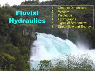
Stream velocity-the speed at which water flows through a stream. The higher the velocity, the greater the erosive force of the stream • Numerous factors affect the velocity of water flow in a stream: -gradient -channel shape -channel size -channel roughness -discharge distance water travels V = ------------------------------------------- time required to travel that distance
Figure 16.14 The higher the velocity – the more turbulent the flow. The more turbulent the flow – the higher the erosive capacity.
The work of running water includes: -Transportation of sediment -Erosion of channel (abrasion + dissolution) -Deposition of sediment The water velocity required to pick-up and transport sediment grains depends on their size.
Stream Load • A stream can carry its load in three different ways: • 1.________ – material is dissolved • 2.__________ – particles are held up by stream’s moving water • 3._________ – material pushed or rolled along the stream’s channel solution suspension bed load
TRANSPORTATION suspended load = mud bed load = sand + gravel
Discharge is the amount of water that flows past a point in a certain amount of time. Discharge is dependent upon velocity, depth, and width of the stream. Discharge = _______ x _____ x _____ velocity depth width
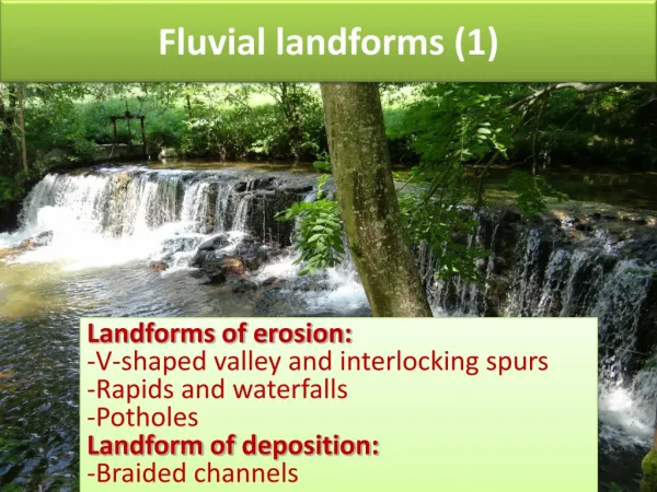
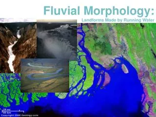
Discharge varies from stream to stream, AND from time to time AND place to place along a single stream. A stream’s discharge and velocity as well as the sediment influx determine the morphological features formed by a river system. The following slides contain various river system features.
Figure 16.14 -Meanders develop because the velocity of water in a stream is non-uniform. -The maximum velocity occurs on the outsides of the meanders where erosion occurs. Deposition of alluvium occurs on the insides.
Point bar- a depositional feature formed when the velocity on the inside of the meander slows down and sediment falls out of suspension. • Cut bank- erosional feature formed on the outside of the meander due to the highest velocity of water removing sediment through erosion. • The 6/10ths rule is applied to determine where the location of the fastest moving water in a river. The depth of the river is multiplied by 0.6
Point Bar Cut bank
Braided streamsdevelop when sediment load is too large for a single channel to carry so numerous channels evolve.
____________ – deposit formed when a stream spreads out onto a less steep area Alluvial Fan
Migration of meanders lead to the formation of abandoned meanders and oxbow lakes.
Rejuvenation of a stream occurs when tectonic processes reactivate uplift in a region and cause streams to begin downcutting again. terraces entrenched meanders
A watershed is the entire region from which a stream and its tributaries receive their water.
Drainage Basin of the Mississippi River Watersheds of North Carolina
When the amount of water in a stream exceeds the capacity of the stream channel the water rises up over the banks and floods the adjacent lowland called the floodplain. A stream rises to its bankfull stage (just filling channel) about once every 1.5-2 years. The physical characteristics of the stream channel are adjusted to carry this volume of water. http://www.coolgeography.co.uk/GCSE/AQA/Water%20on%20the%20Land/Meanders/Landforms%20Meanders.htm
Floodplains can be many tens of miles wide and it may be impossible to see the river from parts of the floodplain.
Figure 16.36 A and B Floods are a natural, recurring phenomenon, but the frequency and severity of flooding can be made worse by human activities. 1993 Midwest Floods
ReferencesDr. Terri Woods http://core.ecu.edu/geology/woods/Rivers1_files/frame.htm http://core.ecu.edu/geology/woods/Rivers2_files/frame.hm