Download
1 / 19
190 likes | 324 Views
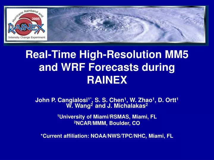
Real-Time High-Resolution MM5 and WRF Forecasts during RAINEX. John P. Cangialosi 1* , S. S. Chen 1 , W. Zhao 1 , D. Ortt 1 W. Wang 2 and J. Michalakas 2 1 University of Miami/RSMAS, Miami, FL 2 NCAR/MMM, Boulder, CO *Current affiliation: NOAA/NWS/TPC/NHC, Miami, FL. Objectives.

E N D
Real-Time High-Resolution MM5 and WRF Forecasts during RAINEX John P. Cangialosi1*, S. S. Chen1, W. Zhao1, D. Ortt1 W. Wang2 and J. Michalakas2 1University of Miami/RSMAS, Miami, FL 2NCAR/MMM, Boulder, CO *Current affiliation: NOAA/NWS/TPC/NHC, Miami, FL
Objectives • During the RAINEX field program (Aug-Sept 2005): Conduct a real-time mini ensemble of high-resolution model forecasts for the RAINEX flight mission planning. • In this study: Evaluate and validate the RAINEX mini ensemble and global model forecasts of the storm track, intensity, structure, and rainfall for Hurricanes Katrina, Ophelia and Rita. Examine the models’ skill in tropical cyclogenesis.
Models • UM/RSMAS MM5 (& WRF): Domains - three nested grids (15, 5, 1.67km) Physics – Blackadar PBL, Reisner microphysics Initial & Lateral B.C. -GFS, GFDL, NOGAPS, CMC 3-5 day forecasts daily at 0000 UTC • NCAR/MMM WRF: Domains - two nested grids (12 and 4km) Physics – NYSU PBL, Thompson microphysics, etc. Initial & Lateral B.C. –GFDL (or GFS if GFDL is not available) 3-5 day forecasts daily at 0000 UTC
RAINEX model configuration When no storm is present • At least 4 models run daily at 00 UTC from Aug 15 - Sept 30 • MM5-gfs, MM5-cmc, MM5-nogaps, WRF-gfs and MM5-gfdl (when available) • 1-domain 15 km resolution (200 x 300 grid pts.)
RAINEX modeling configuration When a storm is present • Additional high-resolution MM5 and WRF simulations are conducted in 2 and 3 domains. 15 km 5 km (121 x 121) grid pts. 1.67 km (151 x 151) grid pts.
Model output without adjusting for initial track error • Insert slide here…..
Hurricane Rita 72 h 72 h 72 h
Model output without adjusting for initial track error • Intensity verification
Hurricane Rainfall MM5-cmc 5km 48-h forecast 16-20 in.
TC Genesis MM5-cmc 66 h forecast Satellite imagery
Conclusions • High-resolution mini-ensemble forecasts in real-time are valuable for mission planning and overall understanding of the storm structure, rainfall, evolution, and intensity change. • High-resolution MM5 and WRF improve intensity forecasts significantly compared with the global models. However, the track errors are still large, especial MM5 timing errors in Hurricane Rita. • Accurate initial and lateral boundary conditions for high-res models are needed.
Acknowledgments • Support from JOSS, UNIDATA, CMC, GFDL, NCEP, NOGAPS is critical to the success of RAINEX real-time forecasts. • RAINEX is support by NSF research grants ATM-0432623 and ATM-0432717.