Download
1 / 29
290 likes | 461 Views
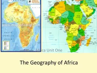
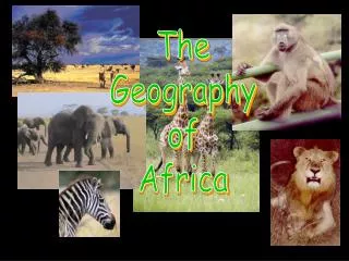
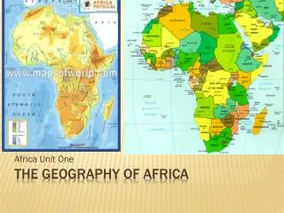
The Geography of Africa. Mrs. Agosta, Mrs. Hassett and Ms. Susan M. Pojer. A Satellite View. 2 nd largest continent. Over 50 countries in Africa. Tropical climate. Africa is 2.5 the size of the U.S. Sahara Desert is the size of the U.S. Africa’s Size. 4 6 0 0 M I L E S. 5 0 0 0

E N D
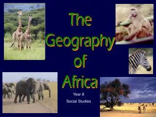
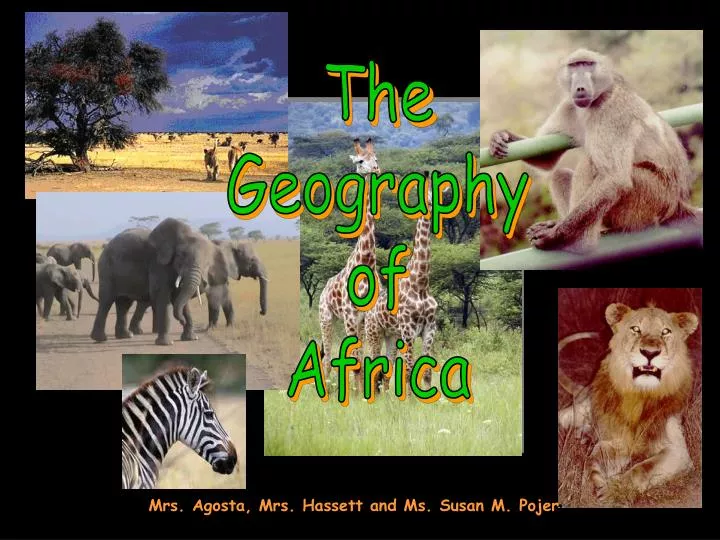
The Geography of Africa Mrs. Agosta, Mrs. Hassett and Ms. Susan M. Pojer
2nd largest continent Over 50 countries in Africa Tropical climate Africa is 2.5 the size of the U.S. Sahara Desert is the size of the U.S.
Africa’s Size 4 6 0 0 M I L E S 5000 MILES DON’T WRITE DON’T WRITE • Second largest continent 11,700,000 sq. mi. • 10% of the world’s population. • 2 ½ times the size of the U. S.
DESERTS- 40% of Africa A.Sahara- largest SAND desert in the world. Makes up 1/3 of the continent. B. Namib C. Kalahari WRITE WRITE I. Topography
Libyan Desert Deserts in Africa Sahara Desert Sahel Namib Desert Kalahari Desert
The Sahara Desert “largest sand desert in the world” CAMELS needed for Trans-Saharan trade
Desertification- Expansion of the desert WRITE DON’T WRITE Causes: overfarming, overgrazing, and deforestation Effects: erosion occurs and desert advances Solutions: crop rotation, terracing and tree belts(to prevent erosion)
2. SAVANNA- Flat plains with coarse grass and few trees A. 50% of Africa B. Most densely populated (with wildlife too!)
3. PLATEAUS- elevated flatlands A. Cover Africa’s interior
4. RIVERS A. B/C of plateaus, river navigation is difficult. There are many cataracts(waterfalls).
The Victoria Falls or Mosi-oa-Tunya(the Smoke that Thunders) The Victoria Falls are one of the most famously considered by some to be among the Seven Natural Wonders of the World.[1]David Livingstone, the Scottish missionary and explorer, is believed to have been the first European recorded to view the Victoria Falls
The falls itself is basically where the mighty Zambezi River drops its entire width (just over a mile) over a 108m vertical wall into a narrow gorge. The volume of water over the falls typically ranges between 300-3000 cubic meters per second (annual mean volume is said to be 1 million liters per second). Mist generated by the falls can be seen and felt from several kilometers away. The Zambezi River also marks the political boundary between Zambia and Zimbabwe. Given the fact that the falls plunges into a narrow gorge, there are parks with walkways and viewpoints looking across the misty chasm directly opposite the falls. The falls is also visible from the Livingstone Memorial Bridge, which spans the river between the border posts of both countries. Experiencing the falls heavily depends on timing. Come at a time when the Zambezi River is in high flow and nearly all viewpoints become a misty mess obscuring views and drenching onlookers. Come at a time when the Zambezi River is in low flow and the falls segments into several smaller, narrower waterfalls exposing the immense basalt wall underneath. When conditions permit, Livingstone Island (the island where David Livingstone first gazed upon the falls) allows onlookers a different edge-of-the-world view of the falls. For those who really want a death-defying experience, the so-called Devil's Pool can be experienced in low flow where you can literally swim right on the edge of the brink of the falls! Like all waterfalls, the water's flow recedes the underlying layer of rock making it "move" upstream over time. What makes Victoria Falls unusual and different from other waterfalls (like Niagara and Iguazu) is that instead of moving continuously upstream over time, this waterfall creates cracks in its underlying basalt wall which eventually form a new chasm and wall as the falls strives to position itself further upstream. Also like its other Big 3 counterparts, Victoria Falls has named sections such as the just mentioned Devil's Cataract, the Main Falls, Horseshoe Falls, and Rainbow Falls. They're typically segmented by islands above the brink of the falls (namely Cataract Island and Livingstone Island). However, some of these tend to blend together (especially during high flow) into a singular wall of water so the average visitor may not even be able to tell let alone care about which section is which (despite the help of signs).
Mediterranean Sea Rivers and Bodies of Water in Africa Red Sea NileRiver NigerRiver L. Chad--> <--Gulf of Aden L. Albert--> Congo River L. Victoria L. Tanganyika-> Indian Ocean Atlantic Ocean Zambezi River LimpopoRiver OrangeRiver Pacific Ocean
The Mighty Nile River:“Longest River in the World” DON’T WRITE DON’T WRITE
DON’T WRITE DON’T WRITE Hydroelectric Power
Barrier to trade 5. COASTLINE- A. Extensive (long) B. Mostly regular or smooth C. Few natural harbors
6. ESCARPMENT- steep cliffs on the East coast. It makes entrance from the East difficult. For example, the escarpment in Africa is similar what you see if you are traveling on the East Side Drive to NYC and look over at New Jersey NJ GW Bridge NY Palisades Cliffs, NJ
Cross Section of Africa SAVANNA PLATEAU ESCARPMENT ATLANTIC OCEAN INDIAN OCEAN
Cross Section of Africa SAVANNA PLATEAU ESCARPMENT ATLANTIC OCEAN INDIAN OCEAN
7. GREAT RIFT VALLEY- 3,000 mile, “S” shaped canyon in E. Africa. Many lakes here. Contains mineral wealth but transportation is hard.
Great Rift Valley Great Rift Valley 3,000 miles long
Mountains Atlas Mts. ΔMt. Kenya ΔMt. Kilimanjaro Ruwenzori Mts. Mt. Kilimanjaro:Snow on the Equator? Drajensburg Mts. DON’T WRITE
Vegetation Zones and Climate DON’T WRITE DON’T WRITE
Multi-Flow Map Effects Causes
Multi-Flow Map Effects Causes