Download
1 / 35
350 likes | 497 Views
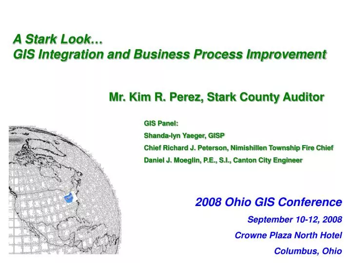
2008 Ohio GIS Conference September 10-12, 2008 Crowne Plaza North Hotel Columbus, Ohio. A Stark Look… GIS Integration and Business Process Improvement. Mr. Kim R. Perez, Stark County Auditor GIS Panel: Shanda-lyn Yaeger, GISP Chief Richard J. Peterson, Nimishillen Township Fire Chief

E N D
2008 Ohio GIS Conference September 10-12, 2008 Crowne Plaza North Hotel Columbus, Ohio A Stark Look… GIS Integration and Business Process Improvement Mr. Kim R. Perez, Stark County Auditor GIS Panel: Shanda-lyn Yaeger, GISP Chief Richard J. Peterson, Nimishillen Township Fire Chief Daniel J. Moeglin, P.E., S.I., Canton City Engineer
Moving Forward into the 21st Century CAMA and GIS Integration
A Bit of County GIS History…. Geodetic Framework & Section Corner Program • County is comprised of seventeen townships • Typically, 169 section corners per township • Program maintained by the County Engineer’s Office • The Stark County Geodetic Reference System (SCGRS) was originally established to provide control for the 2000 aerial photo collection • Section Corner Program was created in order to tie to the Geodetic System and establish a highly accurate base for land ownership • Goal of the Section Corner Program: • Research of survey files, road plans & field books • Recover & verify existing section corner monuments • Replace existing section corner monuments • GPS section corner monuments
Types of Monuments Found Flaretop Hex Head BullHead
Replacement New Bronze Cap Monument
Replacement Roadway – Installation
Replacement Roadway – finished mon. box
Replacement Roadway – monument in box
A Bit of History….cont. Parcel Building Goal: To create and maintain highly accurate tax maps • Phase 1: Rubber-sheeting Parcel Boundaries • Existing maps were stretched to create a mosaic • Allowed for a general base • Phase 2: Re-Building Line Work • All line work is re-drawn utilizing survey files, plats and Section Corner coordinates • Very tedious – end result worth it! • Approximately 80% complete
A Bit of History….cont. Addressing Goal: To create and maintain 1 master address file for all to use • Collected street and address data in 2003 • Signed with the State of Ohio LBRS program in 2006 • Future plans to place address points at front of building structure to show entry points for 9-1-1, with conjoining access route from road to building
Key Facts… • In the past, assessors had limited access to GIS and therefore failed to take advantage of its capabilities. • Had limited links between; • infrastructure databases and assessment databases, • Document imaging, • workflow tools, • electronic data exchange and • tailored screen views • Change detection • these tools are now more readily available • Stark County had a need for more…
New CAMA / GIS System • Purchased new System in Dec ‘06 • ACS Assessment Office, • Billing Collection Office, • MVT (Market Valuation Tool), • GATE GIS Integration, & • Parcel Editor • First County in Ohio • ACS / ESRI Partnership • Live Parallel In Spring ’09 • CAD to GDB Conversion tools
What we had… • Outdated / Inefficient • Costly to Maintain • Replacement Necessary • Heavy IT Dependence • Duplication of Resources • Productivity losses • Interface deficiencies / aged code • Scattered GIS data • Paper – entries, forms, maps, etc. • Overall Shoddy Product…
If we did…nothing? • Costs to MAINTAIN increase • Risk of system failure • Limited Improvements • Conversion time-frame • Pay either way…
Benefits of a New System • Cost-efficiencies…Now and Long-Term • Improved Processes…”Workflow” • Increased Quality • Higher-level tasks • Reporting / Queries • Customer service • Public requests • Equity • Appeals • Timeliness of Information • GIS Data Conversion & Integration • GATE allows for data transfer between Assessment Office & GIS • Setup for In-House appraisals
Helping Emergency Response… • Helps define reliable location data • Most Accurate / up-to-date resources • Consolidate House Numbering • Fed into E9-1-1 database • Validates data networks • Faster access to Pertinent Information (ownership, addresses, etc.)
Due Diligence • COST COST COST!!!!! ROI • Negotiated from 3.8 million to 1.2 million • bidding/evaluation process • Timeline • Demos / references / employee feedback • Break-Even Analysis
Making the investment Funding options • REA vs. County General Fund • Grants • Cost Sharing • Bonds
Working Towards the Next Step Moving the County forward • Forefront of technology now and in future • Lays groundwork for consolidation efforts • Providing a new option to Ohio Counties
In House Appraisals • Tools: • Change Analysis • Pictometry images • VISRE photos • Will save tax payer $$ • Faster appraisal • Through attrition – reduce staff • Save on mileage
Other Uses • Economic Development • Housing inventory • Grade / condition • Assessment of hydrants, poles, signs, trees, etc. • Emergency pre-planning
GIS ‘Road Show’ • Make Visits • Board Meeting, Public Meeting, One-on-One • Understand Their Needs • Present Key Facts • Give Pertinent Examples • Explain Benefits
Benefits • “Regionalism” • Combining forces & systems • Enterprise GIS • GIS • Full Integration (sketch, valuation) • True component of appraisal • Integrates with current GIS products • Digital Parcel creation (better use of time) • Data warehouse • Allow for Information sharing / time savings / eliminates redundancy • View, Query, Analyze, Manipulate data • Best option for 9-1-1 • Allows for automatic analysis • Cost Savings • Better Decision-making (quick information retrieval) • A Picture is Worth 1,000 words
Making information available • Data Warehouse • Free Viewers • Web access • Download Files • Data handouts (prepare DVDs in advance for events)
Teaching & Training • Train-the-trainer • The more they know how to work with data, the more they’ll be inclined to use it • Scheduling • During Association meetings • After User groups • At public events
Public Events GIS Day • Partnerships (schools, businesses, other government offices, etc.) • Show potential uses • Get students involved • Hand-ons demos • Make it fun User Group Meetings Open to all, learn from many Open Houses – let them visit
Get involved with Emergency Services • Collaborating with Fire, Police, EMS • Integrate with 9-1-1 & Dispatch Centers • Need in Emergency Response & Disaster Recovery • Potential Grants available
Bottom Line: Aim for the same goal… saving time, money and lives
QUESTIONS??? Contact Information: Auditor Kim R. Perez – Stark County krperez@co.stark.oh.us or 330-451-7357 Shanda-lyn Yaeger, GISP – Stark County GIS syaeger@co.stark.oh.us or 330-451-7105 Daniel Moeglin, P.E., S.I. - Canton City Engineer djmoeglin@ci.canton.oh.us or 330-489-3381 Chief Richard Peterson - Nimishillen Fire Chief ntfdrjp@hotmail.com or 330-453-5880