Download
1 / 19
190 likes | 318 Views
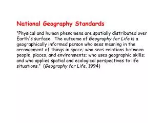
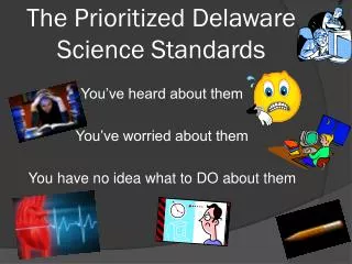
The Delaware Geography Standards. An overview Maggie Legates, Coordinator Delaware Geographic Alliance. Geography looks at events in spatial terms …. If events or features are mapped, what patterns emerge? How can analysis of patterns inform decision making?.

E N D
The Delaware Geography Standards An overview Maggie Legates, Coordinator Delaware Geographic Alliance
Geography looks at events in spatial terms… • If events or features are mapped, what patterns emerge? • How can analysis of patterns inform decision making?
Geography has an environmental perspective. • Geographers look at the earth and it’s physical systems in relationship to humans and their activity.
Standard One: • Students will develop • a personal geographic framework • or “mental map”, • and understand the uses of maps and other geo-graphics.
Gr. 9-12 • Students will identify geographic patterns which emerge when collected data is mapped, and analyze mapped patterns through such common geographic principles as:
Hierarchy • Patterns at a detailed scale may be related to patterns at a more general scale. • Example- Villages and small townsrely on clinics or local hospitals in small cities. Small cities rely on major cities for top level services- like medical care.
Diffusion Describes patterns in the movement of people, ideas, diseases, trade or other items across space. • Expansion diffusion- spreads out from a fixed point • Relocation diffusion- follows a moving object
Relocation Diffusion Expansion Diffusion
Complementarity • The mutual exchange of people or goods among places usually occurs over the shortest possible distance.
Travel patterns in Southwest Iowa Food Stores Law Offices Hospitals
Standard One B • Students will apply the analysis of mapped patterns to the solution of problems. • Examples: • Best business location • Cause of pollution • Plan a bus route • Suggest best voting districts
Standard Two: • Students will develop a knowledge of the ways humans modify and respond to the natural environment.
Grades 9-12 • Students will understand the Earth’s physical environment as a set of interconnected systems (ecosystems) and the ways humans have perceived, reacted to, and changed environments at local to global scales.
Standard Three • Students will develop an understanding of the diversity of human culture and the unique nature of places.
Grades 9-12 • Students will understand the processes which result in • distinctive cultures, • economic activity, and • settlement form in particular locations across the globe.
Standard 4 • Students will develop an understanding of the character and use of regions and the connections between and among them.
Gr. 9-12 • Students will apply knowledge of the types of regions and methods of drawing boundaries to interpret earth’s changing complexity.
Skills and activiTies: • Drawing boundaries, regionalizing based on mapped data (Theissen polygons are one method) • Using regionalization as a means to analyze and solve problems