Download
1 / 3
30 likes | 110 Views
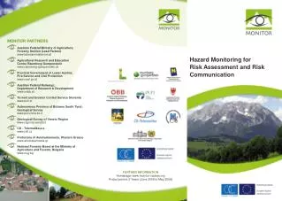
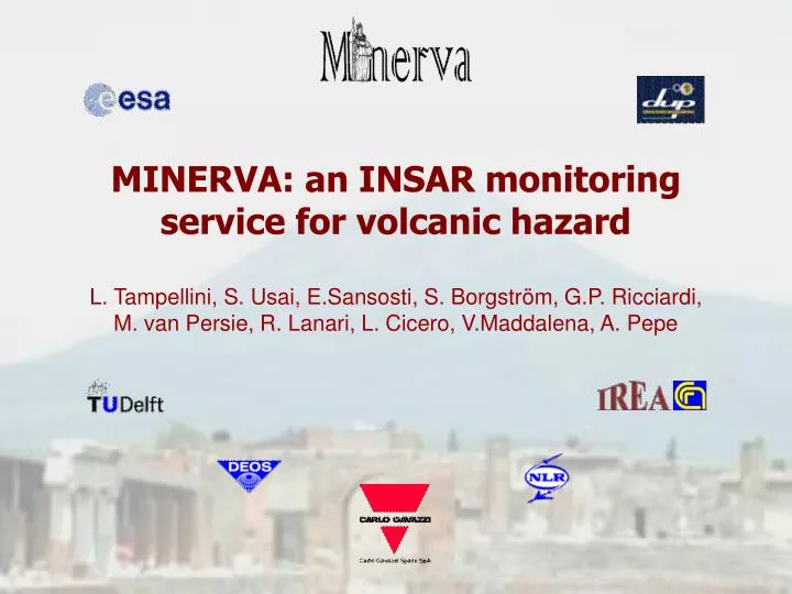
MINERVA: an INSAR monitoring service for volcanic hazard. L. Tampellini, S. Usai, E.Sansosti, S. Borgstr öm, G.P. Ricciardi, M. van Persie, R. Lanari, L. Cicero, V.Maddalena, A. Pepe. MINERVA – IS Monitoring by INterferometric SAR of Environmental Risk in Volcanic Areas Information Service.

E N D
MINERVA: an INSAR monitoring service for volcanic hazard L. Tampellini, S. Usai, E.Sansosti, S. Borgström, G.P. Ricciardi, M. van Persie, R. Lanari, L. Cicero, V.Maddalena, A. Pepe
MINERVA – IS Monitoring by INterferometric SAR of Environmental Risk in Volcanic Areas Information Service MINERVA-IS was funded by the European Space Agency in the frame of the Data User Programme, and directed/supervised by Carlo Gavazzi Space in collaboration with CNR-IREA (Naples), TU-DELFT (NL), NLR (NL) and Osservatorio Vesuviano di Napoli. Minerva Information Service provides, weekly, a land deformation map of the Vesuvian area obtained from the processing of SAR images (Envisat-ASAR e ERS-2). The system is based on the differential interferometry technique.
Minervaprovides information about the ground deformation and its temporal evolution in the examined area. • The Information Service provides measurements of the deformations occurred across Line of Sight Direction (LOS). • Products characteristics: • Accuracy: 1 cm • Spatial Resolution 100 m • Temporal Resolution: 6 days Multilook Master Coherence map Differential Interferogram Deformation sequence Relative deformation map Interpolated deformation map Deformation map