Download
1 / 22
220 likes | 295 Views
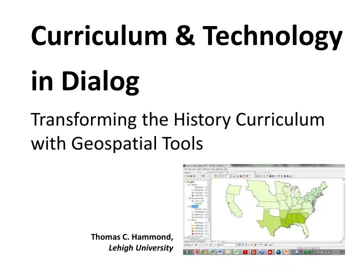
Curriculum & Technology in Dialog Transforming the H istory C urriculum with Geospatial Tools. Thomas C. Hammond, Lehigh University. Arguably, technology is a sleeping giant in the social studies curriculum. ...

E N D
Curriculum & Technology in DialogTransforming the History Curriculum with Geospatial Tools Thomas C. Hammond, Lehigh University
Arguably, technology is a sleeping giant in the social studies curriculum. ... If the giant does awaken, a surprise awaits him. …[T]echnology has taken on new meanings and applications in schools, some with far-reaching implications for our society. Most visibly, he will note, we have entered the information age where computers are ubiquitous and dominate our lives. … At the same time, the giant will be struck by howlittle the social studies curriculum has been affected by the technology changes sweeping the nation. (Martorella, 1997, p. 511, emphasis added)
Five (modest) transformations When a history teacher begins using geospatial tools during instruction, I anticipate… Three changes to CONTENT (towards HPL) • Greater depth • More prominent framework • More relevance via thematic, local, and/or current data Two changes to METHOD (towards inquiry) • Re-balancingof telling and showing • More critical thinking expected of students
Establishing terms By geospatial tools, I primarily mean…
Establishing terms By geospatial tools, I primarily mean… By history education, I primarily mean middle & secondary classrooms, particularly survey courses
Data points • My own work in K-12 classrooms & grad seminars (methods, geospatial tools) • Existing lit on geospatial tools and history ed / social studies ed • Interviews with K-12 teachers
Three changes in CONTENT (towards HPL) To develop competence in an area of inquiry, students must: (a) have a deep foundation of factual knowledge, (b) understand facts and ideas in the context of a conceptual framework, and (c) organize knowledge in ways that facilitate retrieval and application. (Bransford, Brown, & Cocking, 2000, p. 16)
a. Greater depth in curricular content Counterexamples
c. Greater relevance Learning is influenced in fundamental ways by the context in which it takes place. A community-centered approach requires…connections to the outside world…. (Bransford, Brown, & Cocking, 2000, p. 25)
c. Greater relevance via current reference “We will be greeted as liberators” “Romney will win in a landslide” “All the blood that would be spilled in the coming Civil War could be wiped up with a pocket handkerchief” - LeRoy Pope Walker, CSA Secretary of War
Two changes in METHOD (toward inquiry) • Teacher poses questions • Teacher provides solutions • Students work in strictly academic context • Students pose questions • Students design & monitor solution-seeking processes • Students work in authentic context X X X X
Take it from them: Student voices • “It let me know where things were located and routes that the Spanish or the English took to get around” • I completely learned ‘why’ and ‘how’ and got to see history in a new way • [Asking for interpretations] allows the student to learn the information on a first-hand basis. …This is a better method than having the teacher just regurgitate answers or have the student look them up in a book. • [Y]ou can interact with it. You can go back and forth in years.” …[Y]ou can set it up the way you like it. Then you can understand it more. • You can actually see where it took place • [T]he class was more involved with participating • By changing what the students are looking at it engages them more. Since they need to pay attention in order to understand the changes and what is happening. Not to mention asking questions to engage us and really get us thinking on how it all connects. It also helped to be able to see the changes and apply the facts to the people. • [GIS displays] really expanded on the subject. I understood it better. I was able to see the differences over time more….
What the giant WON’T see(i.e., why ‘modest’ transformations?) In the presence (or absence!) of geospatial tools, K-12 history education will NOT change • From coverage (breadth) to scrutiny (depth), or • From a content-intensive discipline (i.e., coverage) to a skill-intensive discipline (e.g., inquiry) [Geospatial tools empower certain teacher tactics and can suggest alternative curricular choices (e.g., renewed emphasis on analytical skills), but they will not challenge these fundamental assumptions, for better or for worse.]
Questions? Follow-up? hammond@lehigh.edu delicious.com/tchammond/geospatialSS