Download
1 / 17
170 likes | 266 Views
Land Cover, Protected Open Space and Public Access. in the Lower Thames River Basin (TRB). Office of Long Island Sound Programs. Connecticut Coastal Management Program. DEP-OLISP oversees CCMA (1980)/CZMA Regulate activities below HTL or in TWs Ensure consistency of State/Federal actions

E N D
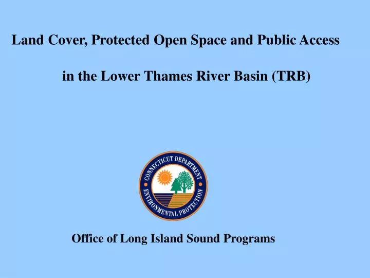
Land Cover, Protected Open Space and Public Access in the Lower Thames River Basin (TRB) Office of Long Island Sound Programs
Connecticut Coastal Management Program • DEP-OLISP oversees CCMA (1980)/CZMA • Regulate activities below HTL or in TWs • Ensure consistency of State/Federal actions • Restore degraded coastal habitats • Assistance / oversight municipal implementation
CT Land Cover 2002Percent Developed by Town Coastal Towns Source: UCONN-CLEAR
Coastal Land Cover 2002 TRB towns - coastal area Statewide – coastal area Developed Undeveloped 53% 51% 47% 49% State Statewide -coastal towns 23.2% 38.4% 76.8% 61.6%
TRB Land Cover(2002) Source: UCONN-CLEAR
Timing and Rate of TRB Coastal Area Development Source: UCONN-Clear (2004)
TRB towns - coastal area Developed Undeveloped 53% 47% Undeveloped Land in TRB as Protected Open Space Protected Open Space is: Land or an interest in land acquired for the permanent protection or support of: • natural features of the state's landscape • essential habitat for endangered or threatened species • non facility-based outdoor recreation • forestry and fishery activities • other wildlife or natural resource conservation activities. Does not include: • athletic fields • cemeteries • schools
Protected Thames River Shoreline Milesby Shoreline Type Protected Open Space Shoreline: Miles and Percent by Shoreline Type Total Protected = 9.7 miles Total TRB Shoreline = 70 miles Percent Protected = 14%
Protected Thames River Coastal Areaby Owner Type Protected Open Space Area: Acres & Percent by Owner Type Total Protected Area = 694 acres Total Coastal Area = 7,500 acres Percent Protected = 9%
Public Access to CT/TRB Shoreline How Accessible is the CT/TRB Shoreline? • Connecticut Shoreline: • - 287 sites • - 1 site /1.6 miles of shoreline (460 miles) • TRB Shoreline: • - 24 sites • - 1 site / 2.9 miles of shoreline (70 miles) • CT Coastal Access Guide
So What? TRB towns not as developed as Western LIS but rate of development is greater 54% TRB towns coastal area undeveloped < 1985 - subject to few/no CCMP review stds. 46% TRB towns coastal area undeveloped – could be protected or developed according to CCMP standards At 2% annual rate of development coastal area completely developed in 24 years Much of the Thames main stem developed but opportunities to protect coastal land remain along coves/tribs. Redevelopment provide the best opportunities to increase access Only 14% of TRB shoreline and 9% TRB coastal area protected TRB shoreline is proportionally less accessible than CT shoreline