Download
1 / 17
170 likes | 182 Views
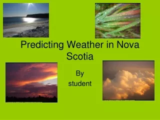
Predicting the Weather. Notes. Weather Forecasting. A meteorologist is a scientist who studies the causes of weather and predicts the weather. Meteorologists analyze weather data, which means that they organize weather information and try to see trends.

E N D
Predicting the Weather • Notes
Weather Forecasting • A meteorologist is a scientist who studies the causes of weather and predicts the weather. Meteorologists analyze weather data, which means that they organize weather information and try to see trends. • Most weather information comes from the National Weather Service (NWS), a part of the US government. The NWS uses scientific instruments such as balloons, satellites, radar, and ground instruments to gather weather data.
Weather balloons carry scientific instruments up into the atmosphere. The instruments measure temperature, air pressure, and humidity.
Weather Technology • Weather satellites orbit Earth in the layer known as the exosphere. Some orbit an a polar orbit, while others are geostationary. • Modern satellites not only take pictures, but also record temperature, humidity, solar radiation, and wind speed and wind direction.
Weather Technology • The NWS has built many weather observation stations. These stations collect data about temperature, humidity, rainfall, and winds. • These are known as Automated Surface Observation Systems (ASOS)
Weather Technology • ASOS computers analyze all of the data from the various stations/satellites/balloons and processes them through very complex algorithms to produce a “model” of what the weather will look like in certain locations in the next12 hours, 24 hours, and 36 hours. • Because each forecast is built using the previous model, when new data is gathered, the model will be changed to reflect the new information.
Using these models, meteorologists will create a forecast that will then be passed on to the public in the area for which the model was produced.
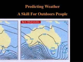
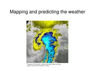
Reading Weather Maps • A weather map is a “snapshot” of weather conditions at a particular time over a large area. • Weather maps can be generated from different sets of data. • Weather maps can come from satellite images, radar detection, or from ASOS stations.
Reading Weather Maps • An isotherm is a line on a map that connects places with the same temperature. • An isobar connects areas of the same pressure.