Download
1 / 31
320 likes | 497 Views
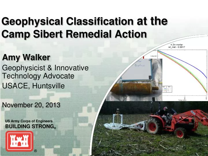
Geophysical Classification at the Camp Sibert Remedial Action. Amy Walker Geophysicist & Innovative Technology Advocate USACE, Huntsville November 20, 2013. Outline. Site overview Prep: WP, Seeding, Test Stand Classification Method Results

E N D
Geophysical Classificationat the Camp Sibert Remedial Action Amy Walker Geophysicist & Innovative Technology Advocate USACE, Huntsville November 20, 2013
Outline Site overview Prep: WP, Seeding, Test Stand Classification Method Results QC/QA: IVS results, seed results, Validation digging
37,000 acre FUDS near Gadsden, AL Used from 1942-1945 as a Replacement Training Center (RTC) for the Army Chemical Warfare Service. 4.2-inch mortar used in most training (primarily HE & smoke/WP/tearing agent) Current Use: mostly private ownership, used for grazing, woodlands, agriculture & residences USACE involvement since 1990 (records research, aerial photography analysis, site characterizations, EECAs, removal actions, RIFS) Former Camp Sibert
Site 18 Site 18- 400 acres (~118 open) in impact area, used for training to attack Japanese-type pillboxes; 4.2” mortars (HE & WP) Currently used as wildlife/hunting area with some agriculture 2007- EECA & 1stESTCP Munitions Classification Demo (thousands of digs- 2 UXO) Range 28A- Adjoining, same impact area, ~40 acres open pasture 2010-RIFS- better define boundaries
How did we decide to use Classification? Over the years, lots of discussions about classification given the ESTCP success here (‘Easiest site in the country’) Benefits: easy site to show success (well characterized, only 4.2” mortars), minimize digs/disruption for landowners Parsons under old RA contract - at award, classification capabilities not well understood Since then- Several successful ESTCP demonstrations by Parsons; MetalMapper available as GFE Team decided to perform MM classification under existing contract (FFP/PBC) - Final WP allowed for possibility with WP Addendum
Define TOI • A lot of data : Only 4.2” mortars, MEC to 14” on Site 18, Site 17- one item at 40” (swampy) • MD - 90% in upper foot, all <36” at Site 18 • PWS/DD says removal ‘to depth of detection’ • Based on existing GPO and NRL Depth/Response models – threshold of 20mV (Sum1-4) on EM61-MK2 3-coil array expected to detect to 44”
Is existing RA detection methodology acceptable to support classification? Yes • Towed array, 3 adjacent coils, slight overlap in outside coil for coverage • Detection? Good, well above noise • Positioning accuracy? Supports MM needs • Review of seeds at Sites 19/17 • 80% meet 40cm radius needed for MM, 98% meet required ESTCP demo EM61 seed detection offset of 60cm- similar to results during demos with 50cm lines spacing. • Generally low anomaly density (>>1m between picks)
Classification Plan • Work Plan Addendum • Based on Parsons’ ESTCP Dem Plan- Using same methods for MetalMapper data collection and analysis as successfully demonstrated at other more difficult sites • Performance metrics/success criteria established based on ESTCP demos, lessons learned and modified as needed for leaving metal • Blind seeding • ADEM comments incorporated • No additional large-scale demo, but dig initial ‘200’ to verify process early on, present results and plan for additional validation digging • Conservative classification decisions • Looking for additional items found elsewhere at Sibert (2.36” rockets, Livens) • Looking for deep items • ‘dig’ decisions based on conservative thresholds
Seeding • Blind QA Seeds • Inert 4.2” mortars • Unknown to Parsons • Blind QC Seeds • Medium ISOs used for testing EM61 data response and positioning repeatability • Unknown to MM analyst and EM61 analyst • Known QC Seeds • Medium ISOs • Unknown to EM61 analyst • Known to MM analyst to provide ongoing feedback of data analysis
TestStand • Varieties of inert 4.2” mortars (with/without noses, base plates, flattened, etc.) – All Matched • Data at 36 & 42” – starts to look noisy, matches Livens better than 4.2”mortar, but still meets dig criteria • at 48”- not clearly detectable in MM data
Test Stand/GPO 4.2” mortar 4.2” mortar base plate 4.2” mortar half shell
Site 18 Data gaps, saturated areas, woods- Mag & Dig pond
Classification Method • Dig: • 3-curve Library match > 0.575 • 2-curve Library match > 0.7 • 1-curve Library match > 0.8 • QC Digs: • Targets added at the discretion of the analyst- noisy data with confidence metrics close to the thresholds or based on location within feature space • Can’t Analyze targets • All 3 curves identified as poor by analyst/ bad fit • EM61 data looks real (not noise spike, anomaly present on multiple lines) • Validation digs: • Selected by USACE/ADEM • No dig: • Targets not meeting the above criteria
ROC Curve (Site 18 & 28A) Not dug (presumed clutter) & 500 validation digs (known clutter) UXO (all 0.99 matches)
UXO Classification All three recovered UXO (4.2” mortars) had Library Match of 0.99 Able to inform field crew of last expected UXO - assist in scheduling
Validation Digging Initial 200 (early verification)- results presented to ADEM (QC metrics pass, seeds classified, dig results make sense) Remainder selected by USACE and ADEM, final list concurrently, while reviewing data in UX-Analyze. Based on: (1)proximity to contractor ‘dig’ thresholds, (2)location in feature space, and (3)location in large anomalous features where classification may be more difficult. No TOI recovered, results make sense (hot soil results for potentially large/deep items in feature space, base plates correctly labeled, etc) Retrospect- too much (nothing looked suspicious)
Non-TOI Results make sense 0.90 match to 60mm mortar 0.86 match to MK2 Hand Grenade 0.87 match to 2.36” rocket Small, symmetric, slow decay
Conclusions Success! Using very conservative dig criteria & high % validation: 84% anomalies left undug UXO ranked very high on dig list Less disruption for landowner (land & time) PDT agrees: no increased risk of UXO remaining versus the traditional approach of digging all selected EM61 anomalies
Acknowledgments John Baptiste, Patti Berry, Greg Nivens Sherri Anderson-Hudgins, Karl Blankinship Julie Ange, Stephen Cobb Jim Pastorick Herb Nelson