Download
1 / 10
140 likes | 410 Views
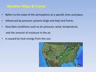
WEATHER Fronts and Mapping. TERMS. Weather is all the conditions of the atmosphere, such as temperature, humidity, precipitation, wind and cloud cover. The uneven heating of Earth's surface by the sun causes weather.

E N D
TERMS • Weather is all the conditions of the atmosphere, such as temperature, humidity, precipitation, wind and cloud cover. The uneven heating of Earth's surface by the sun causes weather. • Climate is the average weather in a geographic area over a long period of time (many years)
TERMS • Cold air is heavier than warmer air so it pushes the warm air up. This causes wind. • Wet air is lighter than dry air so it rides over the dry air. • Dew Point is the temperature at which air becomes saturated and produces dew.
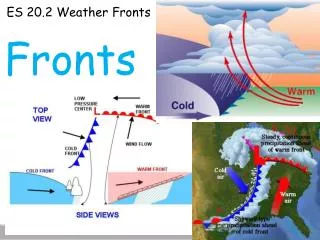
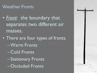
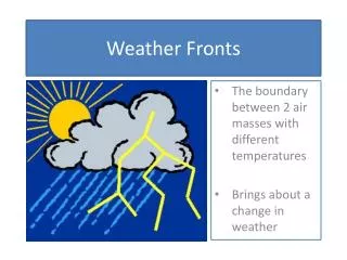
TERMS • All weather is caused by two different air masses coming together. An air mass is a large body of air that has roughly the same temperature and same humidity throughout. • A front is a line or boundary between two different air masses. The air masses clash along the front so weather along a front is stormy. **Different kinds of fronts are produced depending on how the air masses come together.
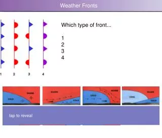
Cold Front Cold Front. When a cold air mass pushes into and under a warm air mass. • Heavy downpours, gusty winds, and cooler temperatures • On hot summer days - causes thunderstorms, followed by lower temperature and humidity
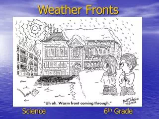
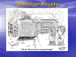
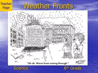
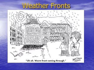
Warm Front Warm Front. When a warm air mass pushes into and over a cold air mass. The warm air slides up and over the cooler air. Warm fronts move slower than cold fronts, • Light precipitation lasting a day or two and warmer temperatures. • When the sky is overcast all day with light rain
Stationary Front Stationary Front. When two air masses meet and stay in the same position for a long time. Very slow moving. • Light precipitation, overcast for a few days with light rain
Occluded Front Occluded Front. Three fronts come together. It forms in stages. It begins with a stationary front between a cold and a warm air mass. Then a cold front comes through faster and lifts up the warm air. • Very heavy rains, severe weather (thunderstorms and strong winds)
Labeling the Front • If an air mass comes from the ocean it is called a maritime air mass • If an air mass comes from the land it is called a continental air mass • If an air mass comes from the North it is called a polar air mass (it is cold air) • If an air mass comes from the South it is called a tropical air mass (it is warm air) • **A front will have two names, for example: a maritime polar front means that it is cold air coming in from the ocean.
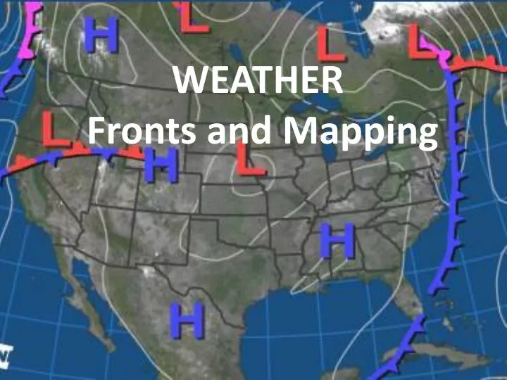
Predicting Weather • Decreasing air pressure signal stormy weather ahead, while increasing air pressure usually indicates clear weather. • Increase in clouds indicates that a front is approaching, usually bringing precipitation • In New York State, winds blowing from the west usually bring fair weather (continental front), while winds from the south or east often bring wet weather. **Prevailing Winds: The winds that commonly blow in the same direction at a given latitude on the map. Over a long period of time, the U.S. has prevailing winds from South West to North East. **We use weather maps along with forecasting instruments to see which direction fronts are moving, this enables us to predict weather over a few days time. Look at the map symbols on the left side of the diagram.