Download
1 / 15
150 likes | 342 Views
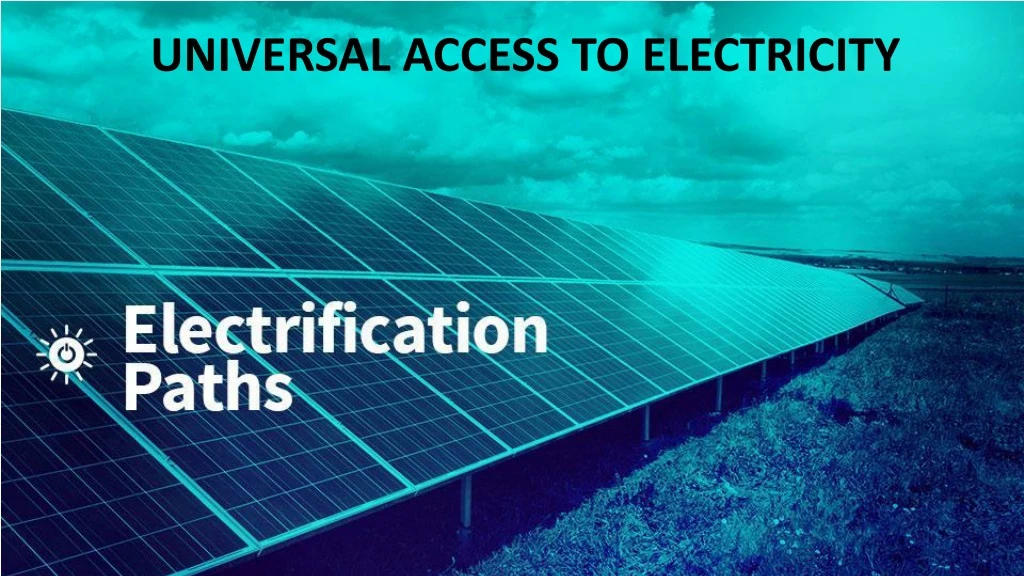
UNIVERSAL ACCESS TO ELECTRICITY. Outline. Chapter 1. Introduction to e lectrification Chapter 2. Energy resources a ssessment using GIS Chapter 3. Electrification analysis using GIS Chapter 4. ONSSET – An Open-Source Spatial Electrification Tool

E N D
Outline Chapter 1. Introduction to electrification Chapter 2. Energy resources assessment using GIS Chapter 3. Electrification analysis using GIS Chapter 4. ONSSET – An Open-Source Spatial Electrification Tool Chapter 5. The online electrification interface Chapter 6. Hands-on experience with ONSSET
1. Introduction to electrification Specific objective: review evidence underscoring the importance of access to electricity
Energy access today About 2.7 billion people have no access to modern energy services. Over 1.2 billion people do not have access to electricity. The majority live mainly in rural areas of developing Asia and sub-Saharan Africa. Nighttime light data providedby the National Centers for EnvironmentalInformation.
Universal access to electricity Without access to electricity With access to electricity Link to SDGs • Access to modern energy is beneficial for: • Health services • Education • Daily activities (lighting, heating, cooking, transportation) • Gender equality • Indoor environment • Business, agricultural, infrastructure and telecommunications sectors
Importance of energy planning Energy planning is essential for matching demand and supply. System cost minimization, without compromising energy security, the reliability of supplies and environmental integrity, is a primary planning objective. Fundamental energy system transformation is key to SDG 7. However… • Past energy planning paradigms (models and mindsets) are largely inadequate for access analysis and planning. • Effective electrification planning requires geospatial information (e.g., settlement location, distances from the grid and road infrastructure, energy resource availability). • In developing countries, there is a lack of reliable energy-related data.
GIS and energy system models Conventional long-term energy models such as OSeMOSYS, TIMES, MESSAGE, etc. failto take into account the spatio-temporal fluctuations of energy resources and the demand side. To illustrate, the wind speed varies in time and space, and so does the potential wind energy yield. The same applies to other energy sources witha stochasticnature. Also, the power infrastructure differs from one area to another and so does the demand. Without GIS models, detailsessentialforenergy planning cannot be captured.
Why geographic information systems? GIS serves multiple purposes: Location-based assessments: GIS tools enable assessments to analyse energy-related geospatial information. Remote sensing:GIS tools facilitate the integration of remote sensing techniques to derive resource availability and energy potentials in cases where such data are not (publicly) available. Illustration of results: GIS can illustrate results in interactive maps, providing an effective science and policy interface.
2. Energy resources assessment using GIS Specific objective: understand GIS as a tool to assess energy resources
Geospatial resources assessment The quandary… • What is the energy resource situation at each location? • Which technologies are best suited to tap into these resources? • What are the costs of electricity generation by technology and resource input?
Spatial solar availability Global horizontalirradiationmap of Africa Table 1. Summary of CSP and PV potentials in different Africansubregions Area with high potential for PV system deployment Layer’sspecifications Spatial resolution: 1 degree (~110.5 km) Historicaltime series: 22 years Source: Langley Atmospheric Science Research Center
Spatial wind availability Windpower capacityfactor map of Africa Table 2. Summary of windpower potential in different Africansubregions Areas with high potential for wind power project deployment Layer’sspecifications Spatial resolution: 0.5 degrees Historicaltime series: 20 years Source: NASA - GES DISC
Spatial mini/small hydropower availability Table 3. Summaryof mini/small hydropower potential in different Africansubregions Hydropower potential map of Africa Sources: USGS/NASA SRTM CGIAR-CSI EU JRC WWF
Spatial bioenergy availability Table 4. Summary of sugarcane-basedbioethanolproduction in different Africansubregions Table 5. Summary of land areas for Jatropha and soybeancropswithyields over 2 tons per hectare Source: IIASA, Global Agro-ecological Zoning
Spatial diesel LCOE LCOE for diesel generators (current fuel price) LCOE for diesel generators (projected fuel price) < * According to the currentcrudeoilprice of $47 per barrel. ** According to the projectedcrudeoilprice of $113 per barrel.