Download
1 / 21
210 likes | 362 Views
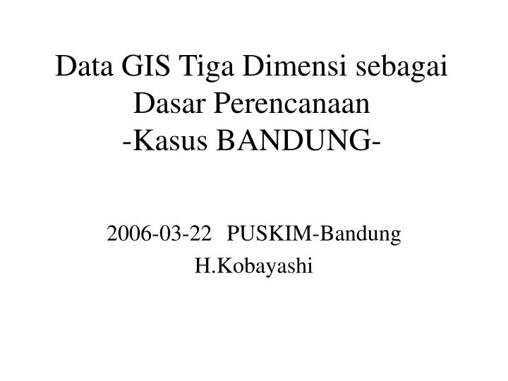
Data GIS Tiga Dimensi sebagai Dasar Perencanaan -Kasus BANDUNG-. 2006-03-22 PUSKIM-Bandung H.Kobayashi. 1. Later Belakang. ・ Global Environmental Studies in Indonesia -1999 Feasibility Study (BRI-PUSKIM) -2000-2002 SLR Study (NILIM-PUSKIM)

E N D
Data GIS Tiga Dimensi sebagai Dasar Perencanaan-Kasus BANDUNG- 2006-03-22PUSKIM-Bandung H.Kobayashi
1.Later Belakang ・Global Environmental Studies in Indonesia -1999 Feasibility Study (BRI-PUSKIM) -2000-2002 SLR Study (NILIM-PUSKIM) Pengunaan GIS untuk Analisa Makro di Kota-kota pantai Indonesia ・Development of a Communication System for Town Planning (2001, NILIM) Perlu adanya persediaan citra masa depan (utopia) oleh ahli
Impact Evaluation of SLR on Indonesia Coastal Cities 2000-2 Jakarta Utara
2. Data tersedia di Indonesia Peta Bakosurtanal Citra Satellit (IKONOS, QuickBird) Bandung, Cirebon, Semarang, Jakarta, Malang, Banjarmasin, Banda Aceh (3) Data khusus (terkait lokasi) Bandung: CAD data /Peta Bakosurtanal
3. Kasus di Bandung (1)Data Citra Satellit Perumnas Antapani Kelurahan Antapani Kidul
3. Kasus di Bandung Perumnas Antapani Kelurahan Antapani Kidul
3. Kasus di Bandung Perumnas Sarijadi, Kelurahan Sarijadi
File: c313 W776,213-E790,109(M) S9,239,275-N9,253,178 File: c314 W790,109-E804-013 S9,239,194-N9,253,105 File: c323 W803,934-E817,843 S9,239,111-N9,253,029 File: c311 W776,213-E790,109 S9,225,450-N9,239,345 File: c312 W70,047-E803-934 S9,225,362-N9,239,273 File: c321 W803,854-E817,760 S9,225,279-N9239,195 3. Kasus di Bandung (2)Data Garis Kontur DWG(CAD) > SHP(2D) > DEM > LSSG(3D) 6 File DWG (atas peta Bakosurtanal 1:25,000)
TITIK X Y Z V00 781197 9233350 687.5 V01 781197 9233340 687.5 V02 781201 9233340 687.5 V03 781205 9233340 687.5 V04 781212 9233370 687.5 V05 781213 9233380 687.5 V06 781215 9233390 687.5 V07 781220 9233390 687.5 V08 781234 9233390 687.5 V09 781249 9233390 687.5 3. Kasus di Bandung (2)Data Garis Kontur DWG(CAD) > SHP(2D) > DEM > LSSG(3D) - - - - - - - Bentuk 2D garis konsur + tinggi sebagai attribute
3. Kasus di Bandung (2)Data Garis Kontur DWG(CAD) > SHP(2D) > DEM > LSSG(3D)
3. Kasus di Bandung (3) Konversi Data DWG(CAD) > SHP(2D) > DEM > LSSG(3D)
3. Kasus di Bandung (3)Konversi Data DWG(CAD) > SHP(2D) > DEM > LSSG(3D)
3. Kasus di Bandung Kota Bandung (4) Konversi Data (kontrol di lokasi)
3. Kasus di Bandung (4) UTM (Bentuk tanah + Citra Satellit)
4. Prospek ke depan (1) Simulasi Bahan Bangunan (proses metabolis) Permanen = 15 tahun (tanah + sekam padi) Semi permanen = tabungan C / mau expor ke Jepang (?) Sirkulasi/transportasi Bensin = makin habis makin mahal; Angkutan + kereta = listerik atom/alam Domestik Angin alam, alat listerik hemat, energi matahari, isolasi panas, AC Simulasi GIS = kondisi angin, mata hari Hijau Simulasi tumbuh – pemeriharaan (potong/tanam/pemakaian) = tabungan C
4. Prospek ke depan (2) Persediaan usulan peran serta masyarakat (2006-2007)