Download
1 / 100
1k likes | 1.12k Views
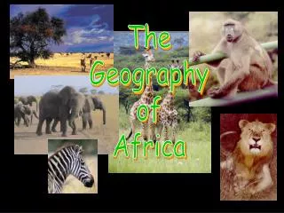
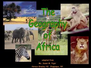
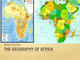
The Geography of Africa. Ms. Susan M. Pojer Horace Greeley HS Chappaqua, NY. A Satellite View. Africa’s Size. 4 6 0 0 M I L E S. 5 0 0 0 M I L E S. Second largest continent 11,700,000 sq. mi. 10% of the world’s population. 2 ½ times the size of the U. S. Mediterranean Sea.

E N D
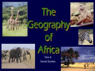
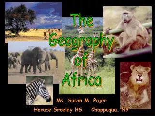
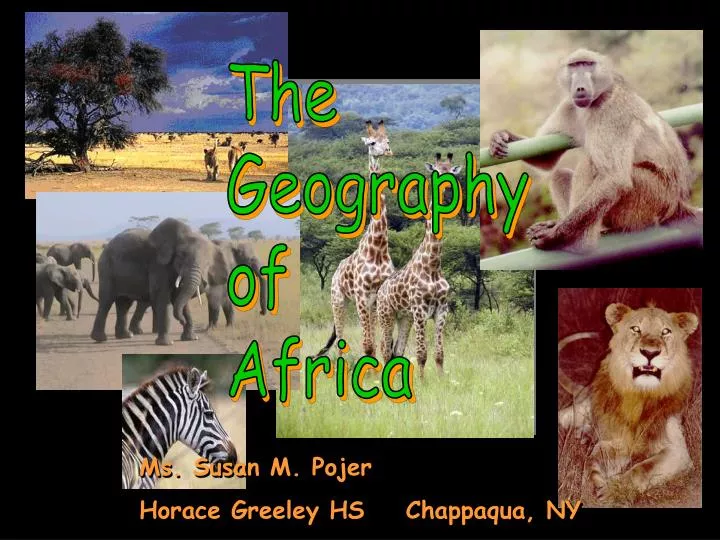
The Geography of Africa Ms. Susan M. Pojer Horace Greeley HS Chappaqua, NY
Africa’s Size 4 6 0 0 M I L E S 5000 MILES • Second largest continent 11,700,000 sq. mi. • 10% of the world’s population. • 2 ½ times the size of the U. S.
Mediterranean Sea Atlas Mts. Libyan Desert The Complete Topography Of AFRICA Tropic of Cancer 20° N Sahara Desert Red Sea Sahel NileRiver NigerRiver L. Chad--> Great Rift Valley <--Gulf of Aden ΔMt. Kenya Equator 0° L. Victoria ΔMt. Kilimanjaro L. Tanganyika-> Indian Ocean Ruwenzori Mts. Atlantic Ocean Zambezi River Kalahari Desert Tropic of Capricorn20° S Pacific Ocean
Great Rift Valley 3,000 miles long
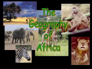
African Rain Forest • Annual rainfall of up to 17 ft. • Rapid decomposition (very humid). • Covers 37 countries. • 15% of the land surface of Africa.
Mt. Kilimanjaro: Snow on the Equator?
Mediterranean Sea Atlas Mts. Libyan Desert The Complete Topography Of AFRICA Tropic of Cancer 20° N Sahara Desert Red Sea Sahel NileRiver NigerRiver L. Chad--> Great Rift Valley <--Gulf of Aden L. Albert--> ΔMt. Kenya Equator 0° Congo River L. Victoria ΔMt. Kilimanjaro L. Tanganyika-> Indian Ocean Ruwenzori Mts. Atlantic Ocean Zambezi River Namib Desert Kalahari Desert LimpopoRiver Tropic of Capricorn20° S OrangeRiver Drajensburg Mts. Pacific Ocean
Sahara Desert Great Rift Valley Atlas Mountains Nile River Mt. Kilimanjaro Lake Victoria Kalahari Desert Red Sea Equator Rain Forest Savanna Madagascar Mediterranean Sea Atlantic Ocean Niger River Sudan
North African Kingdoms
Kingdom of Kush[295 BCE – 320 CE] Nubia[modern-day Sudan]
Kush • Nubia became busy trade center • Became Kush when freed from the Egyptians • Kushites became excellent with iron smelting • Built a large commercial network • Wealthy society • Declined because of the rise of Axum
Axum • Combined African and Arab cultures • Adopted Christianity as its religion under King ‘Ezana in 330 A.D. • 15th century, engaged in conflict with the Muslim state of Adal • Trade society= trade with Middle East and Mediterranean Sea
AXUM’SACHIEVEMENTS Built Stelae Controlled NE African Trade Written Language Terrace Farming Spread Christianity in No. & E. Africa
West African Empires & Civilizations
Ghana Empire [4c-11c] Gold “Money”, Ghana/Ivory Coast
Ghana • On the West African coast
Ghana • Active, strong kings who protected kingdom using military • Lived off the land: gold and iron • Became center of trade in the west • Trade across the Sahara for salt • Weakened by war, collapsed durng 1100s
Ghana’s Economy Gold Mining • Increased wealth, located near richest African mine Iron Ore • Created agricultural tools for use and trade • Weapons Agriculture • Fertile soils produced surplus of foods Trade • Traded w/ Muslims • Iron/ gold for salt, metal goods, textiles and horses
Mali Empire [13c-15c] SALT GOLD
Sundiata [1210-1260] “Lion Prince”
Mali • Established by Sundiata Keita • Built wealth on trade and farming • Villages had local rulers • Mansa Musa- rich and powerful King • Devout Muslim • Built Timbuktu
“From Here to Timbuktu” • ** Do not write** • Comes from tim- “tin” • And buktu- an old woman known for her honesty • Signifies a long distance away/ harsh road to travel
Songhai Empire [15c-16c] SALT GOLD
Songhai Empire • First Ruler: Kossi- 1009- Dia Dynasty- first Songhai state • Sunni Ali- began to expand kingdom • Trading empire- gold and salt • Muhammad Ture overthrew Ali • Reached its height • Slowly declined after Ture, conquered by Morocco
Askia Mohammed’s Tomb Gao, Mali
Bantu Migrations: 1000 BCE To 500 CE