Download
1 / 17
170 likes | 174 Views
Learn about the reality of landslides in the city of Rio de Janeiro and the necessary measures for disaster risk reduction. Explore meteorological systems, geological risk mapping, prepared communities, alert and alarm systems, partnerships, and more.

E N D
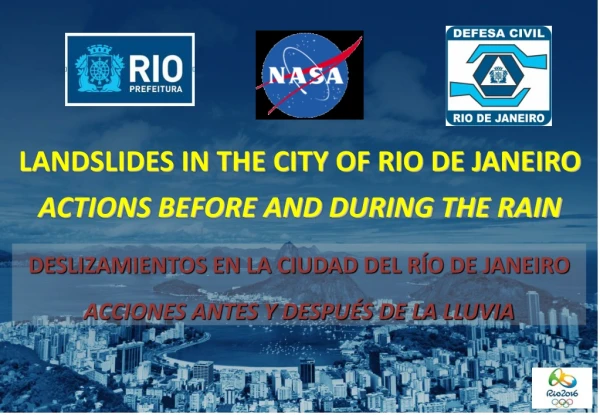
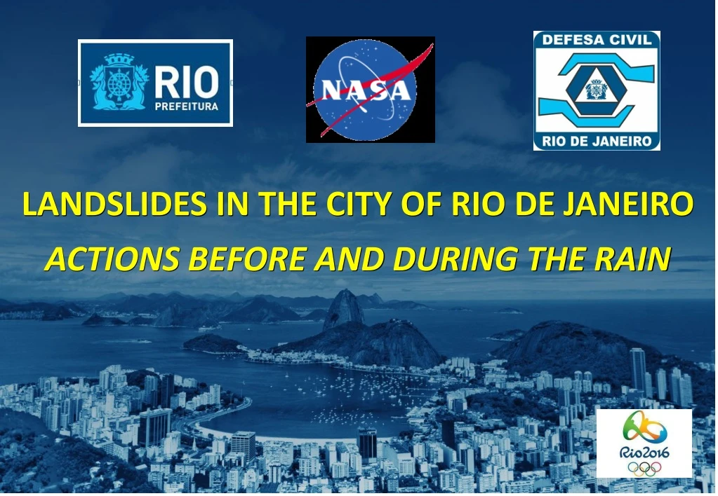
LANDSLIDES IN THE CITY OF RIO DE JANEIRO ACTIONS BEFORE AND DURING THE RAIN
THE RIO DE JANEIRO CITY’S REALITY LANDSLIDE SUSCEPTIBILITY MAP AREA: 1.255 km2 POPULATION: 6.320.000 2017 - around 6,5 million - 35% oftheareaconsistsofmontainsandhills - More than 1 millionpeople living in slums (mostofthemonslopes) - Rainfallaverage 1.200mm/yearwithoccasional 300mm/24h or 100mm/h peaks
MORRO DOS PRAZERES - 2010 - Rainof more than 300mm in 24h in manypluviometers - 30 fatal victims in this point (67 in thewholecity, allvictimsfromlandslides in slopeslums)
A SET OF MEASURES FOR DISASTER RISK REDUCTION First of all it is important to understand there is no one isolated action that will make our city safer A SET OF MEASURES, INVOLVING THE PUBLIC SECTOR AND THE CIVIL SOCIETY ARE NECESSARY
ACTIONS SEARCHING FOR RESILIENCE METEOROLOGICAL SYSTEM METEOROLOGICAL SYSTEM GEOLOGICAL RISK MAPPING OPERATIONS CENTER OPERATION CENTER PREPARED COMMUNITIES PREPARED COMMUNITIES ALERT AND ALARM SYSTEM ALERT AND ALARM SYSTEM VOLUNTEER GROUPS PLANS (MasterPlanandContingencyPlans) PARTNERSHIPS PARTNERSHIPS network training research technology knowlegde etcetc
METEOROLOGICAL SYSTEM WHEATHER FORECAST CITY HALL’S RADAR RAIN/PRECIPITATION MONITORING PLUVIOMETERS (RAIN GAUGE) • 33 pluviometers in formal areas • 83 pluviometers in theslums Updatedevery 15 min - Operates 24/7 SISTEMA ALERTA RIO (website andapp) http://alertario.rio.rj.gov.br/
RIO OPERATIONS CENTER INTEGRATED ACTION OF VARIOUS INSTITUTIONS
PREPARED COMMUNITIES FORMATURA GERAL DO PROJETO NUDEC Since 2010, more than 7.000 Local Agentstrained
SIREN SYSTEM (alertandalarm) FORMATURA GERAL DO PROJETO NUDEC
ALERT AND ALARM SYSTEM * Installed in 103 slums (GEO-RIO’sriskmapping) LIVE SMS FOR THE POPULATION VOLUNTARY REGISTRATION UP TO 1 million profiles in a crises
ACTIVATION AND MOBILIZATION PLANS RISK MAP OF ONE SLUM
RESIDENTS TRAINING SimulatedExercisesofevacuation
STUDENTS TRAINING SimulatedExercisesatPublicSchools
PARTNERSHIP Workshop in New York in November 2016
THANK YOU! MARCELO ABELHEIRA marceloabelheira@gmail.com www.rio.rj.gov.br/web/defesacivil