Download
1 / 44
450 likes | 670 Views
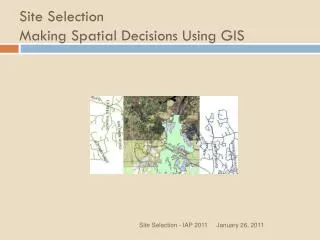
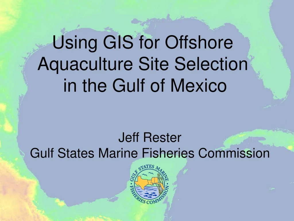
Using GIS for Offshore Aquaculture Site Selection in the Gulf of Mexico. Jeff Rester Gulf States Marine Fisheries Commission. GIS.

E N D
Using GIS for Offshore Aquaculture Site Selection in the Gulf of Mexico Jeff Rester Gulf States Marine Fisheries Commission
GIS Geographical Information Systems (GIS) are integrated computer based systems which allow for the input of digital geo-referenced data to produce maps plus other textual, graphical and tabular output. The essential usefulness of GIS lies in its ability to manipulate data in a large number of ways and to perform various analytical functions so as to produce output which makes for more efficient decision making.
Why GIS for Site Selection? GIS can be used to explore relationships by querying data in different ways combining relevant data layers and exploring the possible relationships between them, using overlaying functions and more complex modeling structures. This allows exploration of model sensitivities and investigation of different scenarios, leading to optimization of site location, exploration of visual and environmental impacts and estimation of sustainable production benefits (Perez et al. 2005).
Site Selection Criteria • Water Depth • Currents • Water Quality (dissolved O2, temp, salinity) • Sediment Distribution
Site Selection Considerations • Facility cannot be located within 1 mile of any shipping fairway • Facility cannot be located within 1 mile of any artificial reef site • Facility cannot be located within 5 miles of any marine protected area • Facility cannot be located within 5 miles of any coral reef or hardbottom areas • Facility cannot be located within 5 miles of any HAPC defined by the Gulf of Mexico Fishery Management Council • Facility cannot be located within 5 miles of any seagrass areas
Site Selection Considerations • Facility site should not conflict with traditional highly fished areas • Facility should not conflict with other uses (oil and gas exploration, dredge disposal areas, military activity zones) of the outer continental shelf • Might be advantageous for the facility to be collocated with an oil or gas platform • Facility should not be located in areas that experience frequent hypoxia • Facility should not be located in areas that experience frequent red tides
Other Considerations • For storms, half the cage should be halfway under the mid-depth of the water • Need 30 feet of clearance underneath bottom of cage • Need at least 0.5 knot current (1 knot = 0.514 m/s or 1.15 mph) to avoid anoxia or waste accumulation • Sustained 2 knot current makes managing cages difficult • Need at least 100 foot water depths
Conclusions • A GIS can be used to help develop aquaculture zones in the Gulf of Mexico, but the GIS is only as good as the data in it • Experts need to develop siting criteria guidelines to determine where aquaculture facilities should and should not be located • Siting criteria can then be used in the GIS to help map areas suitable for offshore aquaculture