Download
1 / 25
250 likes | 258 Views
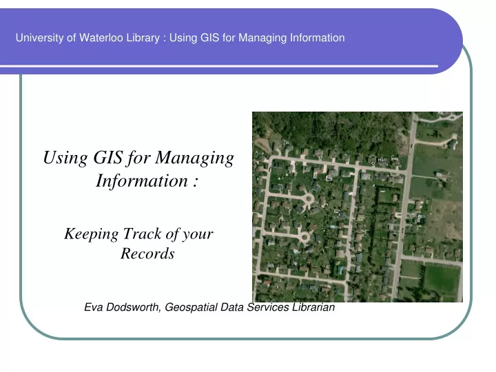
University of Waterloo Library : Using GIS for Managing Information. Using GIS for Managing Information : Keeping Track of your Records. Eva Dodsworth, Geospatial Data Services Librarian. Why Use GIS?.

E N D
University of Waterloo Library : Using GIS for Managing Information Using GIS for Managing Information : Keeping Track of your Records Eva Dodsworth, Geospatial Data Services Librarian
Why Use GIS? • A Geographical Information System displays information about the earth in a visual format – ‘what is where’ • Studying information visually provides spatial awareness that otherwise isn’t apparent in text or tabular form
How is GIS used? • Utility Companies – gas, phone, electricity, water, cable • Location of underground pipes, transformers, poles and customers • Transportation • – Ministry of Transportation – inventory of highway signs, state of pavement • Delivery Companies – GPS system in cars for finding locations, tracking shipments • Farmers - plan location of crops, plan application of fertilizers, chemicals • Forestry Industry - tracking timber growth, plan methods of cutting and removing logs • Cemeteries – Keep track of occupied and vacant lots, names of buried • Surveys – tracking spending habits of neighbourhoods
How Can we Use GIS? • How do we take our own information and utilize it in a GIS? What we need: • Information in a tabular format • Geographical Information • GIS program
Mapping our Records Scenario : Create a map of my neighbours that includes historical owner information • Enter the information into a database – i.e. Excel • Be sure to include street name & number, address, city, province • Make sure there are no spaces in between words in the column heading (Postal_Code, not Postal Code)
2. Use geocoding program to determine latitude (x) and longitude (y) • http://www.batchgeocode.com/
Mapping our Records • Select the records in your database file, copy them and paste them into batchgeocode’s empty table (Ctrl C) (Ctrl V)
Run Geocoder • Latitude and Longitude are now displayed • You can view the results in the map provided
You can paste the results back into your Excel file • Save the Excel file as a .csv format • Open the file in a GIS program such as ArcMap
Mapping your Records For further and more permanent use, convert the file to KML to be used in Google Earth or GIS programs that will open KML files
Mapping Records Mapping records that don’t have address info: You can use spatial information to determine latitude and longitude http://www.gorissen.info/Pierre/maps/googleMapLocation.php
Mapping your Records Scenario : Create a map of my weekly outings • Enter the information into a database – i.e. Excel
Mapping your Records • Add additional columns for latitude and longitude (leave them blank for now). • We now need to find the latitude and longitude using the handy online finder http://www.gorissen.info/Pierre/maps/googleMapLocation.php
Mapping your Records Navigate around the map using satellite imagery if you like, to help you locate each geographical area in your Excel file. Click with your mouse button for latitude and longitude output.
Mapping your Records • Add the Lat/Long to your Excel file. • Save as a .CSV – Comma Separated Value
Mapping your Records • You may use a GIS program to map your record – to perform queries
You may convert your table to a kml file for Google Earth use.
Conversion to KML for GE • This handy website will convert your table to KML format for Google Earth usage : http://www.earthpoint.us/ExcelToKml.aspx
Other levels of geography • Geocode using other geographical information: • Postal code • Census track
Adding a common field in your table and joining with other information expands information greatly • Adding additional information into the GIS program Income Averages