Download
1 / 13
130 likes | 256 Views
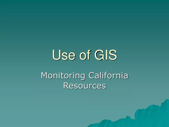
Use of GIS. Monitoring California Resources. Data fusion, remote sensing and predicitions. Input Computer hardware and software Output subsystem. Components of GIS. http://www.geog.ouc.bc.ca/physgeog/contents/2f.html. Main types of data entered into a GIS.

E N D
Use of GIS Monitoring California Resources
Input Computer hardware and software Output subsystem Components of GIS http://www.geog.ouc.bc.ca/physgeog/contents/2f.html
Main types of data entered into a GIS • Data elements of real world phenomena and features that have some kind of spatial dimension. These are depicted mathematically in the GIS as either points, lines, or polygons that are referenced geographically (or geocoded) to some type of coordinate system. • Attributes are pieces of data or information that are related to the points, lines, or polygons mapped in the GIS. Attribute data can be analyzed to determine patterns of importance.
Map with elements in place • Earthquake locations shown in black
Map elements are given attributes • Yellow points are shallow earthquakes (<25 km deep) • Red points are at intermediate depth (26-75 km deep) • Black points are deep earthquakes (76-660 km deep)
The output illustrated in this map merges data layers for vegetation community type, glaciers and ice fields, and water bodies (streams, lakes, and ocean). http://www.geog.ouc.bc.ca/physgeog/contents/2f.html
Simulation • Analysis • Visualization • Advancing our Understanding using Sensors and Observations
Remote Sensing: regional to global information • Ongoing description of atmospheric, oceanic, land surface characteristics • Temperatures • Vegetation types • Surface biological activity • Global and regional examination of episodic phenomena • Forest Fires • Volcanic Eruptions • Large dust plumes • Hurricanes
Water and Climate Change A warmer climate may lead to reductions in the mountain snowpack.
References • LLNL data and maps • Buckley, David J. (1998) The GIS Primer. http://www.innovativegis.com/basis/primer/primer.html(Internet based textbook) • Pidwirny, Michael J.(1996-2003) Fundamentals of Physical Geography. http://www.geog.ouc.bc.ca/physgeog/contents/2f.html(Internet based textbook)