Download
1 / 17
170 likes | 240 Views
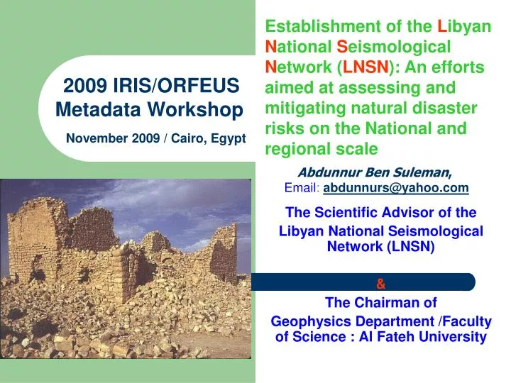
Establishment of the L ibyan N ational S eismological N etwork ( LNSN ): An efforts aimed at assessing and mitigating natural disaster risks on the National and regional scale. 2009 IRIS/ORFEUS Metadata Workshop. November 2009 / Cairo, Egypt. Abdunnur Ben Suleman ,

E N D
Establishment of the Libyan National Seismological Network (LNSN): An efforts aimed at assessing and mitigating natural disaster risks on the National and regional scale 2009 IRIS/ORFEUS Metadata Workshop November 2009 / Cairo, Egypt Abdunnur Ben Suleman, Email: abdunnurs@yahoo.com The Scientific Advisor of the Libyan National Seismological Network (LNSN) & The Chairman of Geophysics Department /Faculty of Science : Al Fateh University
ABSTRACT The tectonic evolution of Libya, located at the northern extreme of the African continent, has yielded a complex crustal structure that is composed of a series of basins and uplifts. The present day deformation of Libya is the result of the Eurasia-Africa continental collision. The recorded number of earthquakes in Libya was not representative of the actual total number before the establishment of the Libyan National Seismograph network. A number of reasons contribute to this fact among which are the small number of seismic stations in the area and the limitations on instrumental sensitivity before 1950. This scientific fact was fully proven after the establishment of the Libyan National Seismograph Network (LNSN) operated since November of the year 2005. The LNSN consists of an up-to-date 15 broadband digital national network stations, utilizing state of the art VSAT communication technology, and a Central Processing Center, located in the City of Ghariyan, Libya.
This presentation aims to explain in detail the main objectives of the LNSN, both on local and regional scales, and to explain the new picture of the seismicity and seismic hazard of Libya. The newly compiled Libyan catalogue represents the main source of data through which we analytically reanalyze earthquake activity of Libya with the aim of improving the earthquake hazard assessment of the Country. Different sources were used in the compilation process within a geographical window limited by the 19 Deg. N and 35 Deg. N parallels and the 9 Deg. E and 26 Deg. E meridians. ABSTRACT
ABSTRACT The LNSN network was designed to monitor local, regional and teleseismic activities, as well as to provide high quality data for research projects both locally and on the regional and global scale. At first glance the seismic activity map shows dominant trends of seismicity with most seismic activity concentrated along the northern coastal areas. Four major seismic trends were noticeable. A first trend is a NW-SE direction coinciding with the eastern boarder of the Hun Graben. A second trend is also a NW-SE direction in the offshore area and might be a continuation of this trend. The other two trends were located in the western Gulf of Sirt and Cyrenaica platform. The rest of seismicity is diffuse either offshore or in land, with no good correlation with well-mapped faults.
This presentation aims to explain in detail: • The Libyan National Seismological Network (LNSN) and its main objectives both on the local and regional scales. • Discuss the Recent seismic activity for the period 2005 to 2008 as recorded by the LNSN. • Analytically reanalyze earthquake activity of Libya with the aim of improving the earthquake hazard assessment of the Country.
Establishment of the Libyan National Seismological Network (LNSN): An efforts aimed at assessing and mitigating natural disaster risks on the National and regional scale PRESENTATION OULINE • Location and Regional Tectonic Setting. • Seismicity Before the Establishment of the LNSN. • The Libyan National Seismological Network (LNSN) • Seismicity After the Establishment of the LNSN. • Conclusions.
Location and Regional Tectonic Setting The tectonic evolution of Libya, located at the northern extreme of the African continent, has yielded a complex crustal structure that is composed of a series of basins and uplifts. The present day deformation of Libya is the result of the Eurasia-Africa continental collision.
The LNSN network was designed to monitor local, regional and teleseismic activities, as well as to provide high quality data for research projects both locally and on the regional and global scale The LNSN consists of an up-to-date 15 broadband digital national network, utilizing state of the art VSAT communication technology, and a Central Processing Center, located in the City of Ghariyan, Libya. Location of the Libyan National Seismological Network (LNSN) Stations.
List of the Libyan Seismograph Network Stations (LNSN) with location and station elevation. CodeLat(deg min)Lon(deg min)Elevation (m)Station. name ALAS 32 50.55 11 36.83 73 AL-ASSA LGHD 30 01.00 9 26.53 600 GHDAMES LJBD 30 54.78 20 11.89 49 ADJABYA LJFR 29 06.11 15 48.77 351 JUFRA LKFR 24 09.68 23 12.73 413 KUFRA LMSR 32 18.75 15 00.50 114 MISRATH LSHF 29 59.21 14 14.86 429 SHWAIRF LSRT 31 04.87 16 39.49 95 SIRT LTBQ 32 03.34 23 55.26 139 TOBRUQ LTRP 32 50.68 13 09.80 83 TRIPOLI LUJL 29 07.15 21 18.16 95 UJELA LUMB 26 08.29 14 45.12 474 MURZUK LZLA 28 33.22 17 33.68 239 ZALLA LGHR 32 07.32 13 05.18 709 GHARYAN LMRJ 32 34.91 20 52.54 408 AL-MARJ
Conclusions Detailed investigations of the Libyan seismicity indicates that Libya has experienced earthquakes of varying magnitudes and that there is definitely a certain amount of seismic risk involved in engineering projects, particularly in the northern regions.
Conclusions The Seismicity map of Libya, using the new data as recorded by the LNSN gives a better picture of the seismicity of Libya and suggested that the country is indeed a seismic prone country with a clear seismic cluster areas in the northern part of the country.
Conclusions It is extremely important to formulate a code of practice for designing earthquake-resistant structures especially in the northern part of the country
شكرا على حسن الانتباه Merci Pour Votre Attention Thank you for Your Attention