Download
1 / 12
120 likes | 125 Views
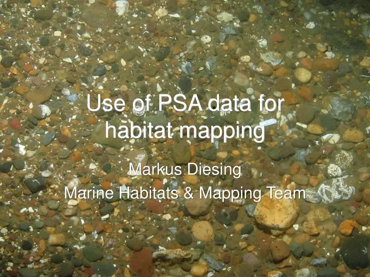
Use of PSA data for habitat mapping. Markus Diesing Marine Habitats & Mapping Team. What is habitat mapping?. Plotting the distribution and extent of habitats Output: map with complete coverage of the seabed showing distinct boundaries separating adjacent habitats. What are habitats?.

E N D
Use of PSA data forhabitat mapping Markus Diesing Marine Habitats & Mapping Team
What is habitat mapping? • Plotting the distribution and extent of habitats • Output: map with complete coverage of the seabed showing distinct boundaries separating adjacent habitats
What are habitats? • Place where an animal or plant lives • Place where a community lives • Physical and environmental conditions that support a particular community • Often used synonymous with biotopes
Current developments • Attempt to link backscatter histograms, particle-size distributions and infaunal species abundance using Primer (abstract submitted to GeoHab Conference)