Download
1 / 24
240 likes | 309 Views
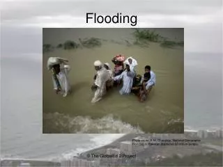
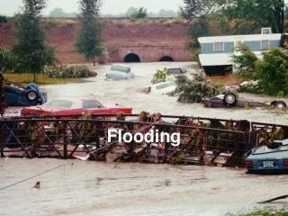
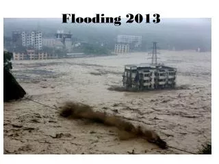
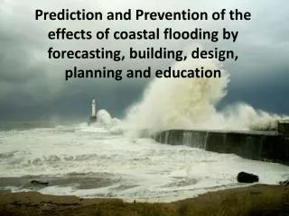
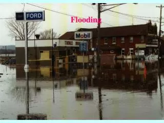
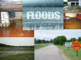
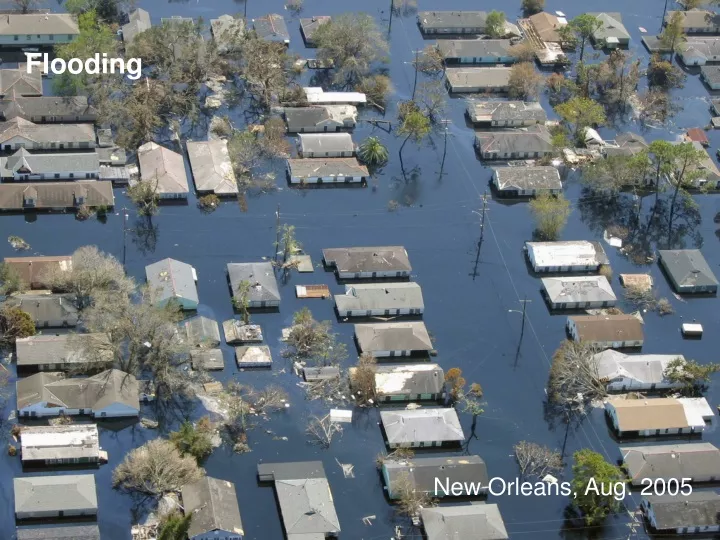
Flooding. New Orleans, Aug. 2005. Flooding. Varies with intensity and amount of rainfall Perhaps the most universally experienced natural hazard Flood discharge- water overflows the channel Flood stage- stream elevation. Precipitation and Discharge. Types of Floods. Flood Types

E N D
Flooding New Orleans, Aug. 2005
Flooding • Varies with intensity and amount of rainfall • Perhaps the most universally experienced natural hazard • Flood discharge- water overflows the channel • Flood stage- stream elevation
Types of Floods • Flood Types • Upstream -intense rainfall over a small area • Downstream -cover large areas and result from persistent storms
Development and Flooding Urbanization • Increases runoff • Impervious cover (paving) • Storm water (sewers) • Decreases sediment load • May increase stream erosion • Mostly a small to moderate scale effect Decreases lag time (flashy discharge)
Magnitude and Frequency of Floods R =( N+1)/M • R = recurrence interval in years • M (magnitude) is the rank of an individual flow in an array of flows with time • N is the number of years of record (9 in the example in the book) • 2-100-year floods can occur in a single year • Extrapolation limited to 2X length of record • Run-off Equation: Q = C x i x A
Magnitude and Frequency of Floods N = 9 years (record length) M = 1 (rank in the array) Thus, a flood with 280 m3 discharge will occur: R = (N+1)/ M = (9 + 1)/ 1 = 10 years
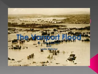
Magnitude and Frequency of Floods • Hydrographs of floods • Chattooga-Savannah River downstream flood • Buffalo Creek upstream flood (artificial due to dam failure) Upstream flood
Urbanization and Flooding • Has little effect on 50-year floods; frequency of flooding increases with urbanization • Urbanization decreases lag-time between rainfall and runoff • Urban grass has less runoff than row-cropped agriculture
Development and Flooding
Nature and Extent of Flood Hazard • Floodplain advantages • Rich soils • Abundant water • Ease of waste disposal • Proximity to transport, communications, and commerce • Westward migration led to land clearing and drainage that led to more and greater floods • Dams and levees cannot control large floods
Nature and Extent of Flood Hazard • Factors controlling damage by floods • Land use in floodplain • Magnitude (depth, velocity, and frequency of flooding) • Rate of rise and duration of flooding • Season • Sediment load deposited • Effectiveness of forecasting and warnings
Nature and Extent of Flood Hazard • Effects of Flooding • Primary • Injury and loss of life • Direct property damage • Erosion and deposition of sediment • Secondary • Short-term pollution of rivers and water supplies • Hunger • Disease • Displacement of people • Fires
Responses to Flood Hazards • Prevention • Structures (levees and dikes) • Reservoirs • Retention ponds • Channelization • Flood insurance • Adjustment • Floodplain regulation--best approach • Design with nature, not against it • Minimize the need for structures
Responses to Flood Hazards • Flood hazard maps • Based on hydrologic discharge data • Estimate using foliage and soil maps • Floodplain zoning • Floodway district • Designated passage for 100-year flood • Elevation increases of 0.3 meters or less • Agriculture • Airports • Recreation
Responses to Flood Hazards • Flood hazard maps (Ventura, CA, RV Park) • Floodway Fringe District--land located between Floodway District and the maximum 100 year flood elevation • Uses include anchored residential accessory structures • Fills protected against erosion
The Channelization Controversy Channelization • Methods • Straightening • Deepening • Widening • Clearing • Lining • Objectives • Controlling floods** • Draining wetlands** • Controlling erosion • Improving navigation
The Channelization Controversy
The Channelization Controversy
The Channelization Controversy • Results • Not necessarily bad • Inadequate consideration of its adverse environmental effects • Adverse Effects of Channelization • Impacts wetlands and wildlife • Destroys aesthetics • Wetlands become a ditch environment
The Channelization Controversy • Benefits of Channelization and Channel Restoration • Mississippi River drainage • Kissimmee River in central Florida • Future of Channelization • Should be applied sparingly to specific problems • New designs with new purposes need to be developed
Perception of Flooding • Knowledge does not inhibit occupation of floodplain areas • Flood hazard maps are not an effective means of communication • Upstream development is blamed for downstream floods • People react differently to the threat of flooding
Flooding Case Studies Mississippi River: 1973, 1993, and 1998