Download
1 / 13
130 likes | 244 Views
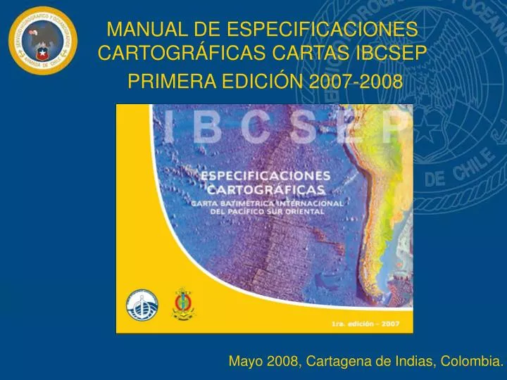
MANUAL DE ESPECIFICACIONES CARTOGRÁFICAS CARTAS IBCSEP PRIMERA EDICIÓN 2007-2008. Mayo 2008, Cartagena de Indias, C olombia. TEMARIO. INTRODUCCIÓN ESQUEMA GENERAL DEL MANUAL OBSERVACIONES CONCLUSIONES. INTRODUCCIÓN. Taller IBCSEP. SHOA, Chile agosto 2006.

E N D
MANUAL DE ESPECIFICACIONES CARTOGRÁFICAS CARTAS IBCSEP PRIMERA EDICIÓN 2007-2008 Mayo 2008, Cartagena de Indias, Colombia.
TEMARIO • INTRODUCCIÓN • ESQUEMA GENERAL DEL MANUAL • OBSERVACIONES • CONCLUSIONES
INTRODUCCIÓN • Taller IBCSEP. SHOA, Chile agosto 2006. • Reunión comité editor IBCSEP. INOCAR, Ecuador abril 2007.
Propósito, contenido, diagrama y formato. • Especificaciones generales, 6 secciones. • Especificaciones de edición. • Información marginal. • Esquema final. ESQUEMA GENERAL DEL MANUAL El Manual de Especificaciones Cartográficas IBCSEP está estructurado de la siguiente manera:
OBSERVACIONES • Incluir una columna con la estructura de los datos en CARIS.
OBSERVACIONES • Incluir una columna con la estructura de los datos en CARIS. • Esquema Cartográfico: cambió de los límites de la carta 1-01 (Colombia-Ecuador).
OBSERVACIONES • Incluir una columna con la estructura de los datos en CARIS. • Esquema Cartográfico: cambió de los límites de la carta 1-01 (Colombia-Ecuador). • Se modificaron los datos marginales y esquema final de la carta. • Impresión por demanda, el Manual está disponible en la página Web de IBCSEP.
CONCLUSIONES • El trabajo de elaboración de las especificaciones cartográficas para la confección de cartas IBCSEP ha tenido una enorme relevancia (trabajo conjunto). • Esta publicación junto a la Hoja Modelo son los marcos de referencia que, los países miembros del Comité Editorial, deben tomar en cuenta para homologar sus productos.