Download
1 / 7
70 likes | 193 Views
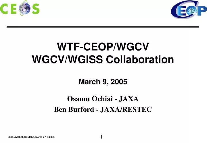
WTF-CEOP/WGCV WGCV/WGISS Collaboration March 9, 2005 Osamu Ochiai - JAXA Ben Burford - JAXA/RESTEC. AIRS data algorithm is calibrated to sea level. Accuracy of algorithm over Tibetan Plateau (4500 meters) is poor.

E N D
WTF-CEOP/WGCV WGCV/WGISS Collaboration March 9, 2005 Osamu Ochiai - JAXA Ben Burford - JAXA/RESTEC
AIRS data algorithm is calibrated to sea level. Accuracy of algorithm over Tibetan Plateau (4500 meters) is poor. Can WGCV help with improving accuracy of AIRS data algorithm over Tibetan plateau? (Wider issue: regional accuracy of satellite data?) Primary Request:
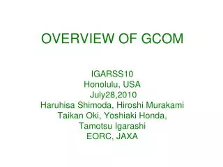
AIRS Sonde AIRS Sonde Accuracy of AIRS mixing ratio data Outside Tibet: Hezuo (35.0N102.9E) Good agreement. 600-500hPa 2004 (daytime) year Mixing ratio (g/kg) Inside Tibet: Naqu (31.5N92E) Poor agreement. 600-500hPa 2004 (daytime) year The accuracy of AIRS is not good due to the conditions of the Tibetan Plateau. Mixing ratio (g/kg)
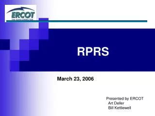
The Takara River The 8th Step, Mt. Fuji In the Snowy Mountains as a field scientist
Snow Cover Derived from Landsat in the Upper Tone River As a scientist of remote sensing…
“We understand in-situ data and we understand model output data, but we don’t understand satellite data.” (Scientist at CEOP Science Steering Committee Meeting) We want to find information on accuracy of satellite data and make the information available to CEOP scientists in a useful way. Accuracy Error propagation Satellite Data Accuracy
“Global Water Cycle Theme for the IGOS Partnership” 6.7 Recommendations b) New Earth Observing Satellite missions should investigate blending of satellite products that optimize the accuracy of surface hydrologic predictions. c) The error propagation issues to be quantified. Error Propagation Issues