Download
1 / 12
120 likes | 218 Views
Weather Forecasting Review. Go with the Flow from High to Low. Objective. You will use a black colored pencil to lightly draw lines connecting identical values of sea level pressure.

E N D
Weather Forecasting Review Go with the Flow from High to Low
Objective • You will use a black colored pencil to lightly draw lines connecting identical values of sea level pressure. • Remember, these lines, called isobars, do not cross each other. Isobars are usually drawn for every four millibars, using 1000 millibars as the starting point. Therefore, these lines will have values of 1000, 1004, 1008, 1012, 1016, 1020, 1024, etc., or 996, 992, 988, 984, 980, etc. • You will then identify a high pressure center and a low pressure center. • You will predict the location of fair weather and stormy weather. • You will identify the direction of spin around a high pressure center and a low pressure center.
Begin drawing from the 1024 millibars station pressure over Salt Lake City, Utah (highlighted in gray). Draw a line to the next 1024 value located to the northeast (upper right). Without lifting your pencil draw a line to the next 1024 value located to the south, then to the one located southwest, finally returning to the Salt Lake City value. • Now connect the pressure areas that are 1020 millibars. • Complete the map.
Labeling highs and lows • Isobars can be used to identify "Highs" and "Lows." The pressure in a high is greater than the surrounding air. The pressure in a low is lower than the surrounding air. • Label the center of the high pressure area with a large blue "H". • Label the center of the low pressure area with a large red "L".
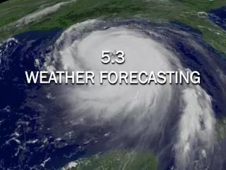
Add the weather • High pressure regions are usually associated with dry weather because as the air sinks it warms and the moisture evaporates. Low pressure regions usually bring precipitation because when the air rises it cools and the water vapor condenses. • Shade, in green, the state(s) where you would expect to see rain or snow. • Shade, in yellow, the state(s) where you would expect to see clear skies.
Weather Rhyme • When pressure is low, expect rain or snow. • When pressure is high, look for a blue sky.
Put a spin on it • In the northern hemisphere the wind blows clockwise around centers of high pressure. The wind blows counterclockwise around lows. • Draw arrows around the "H" on your map to indicate the wind direction. • Draw arrows around the "L" on your map to indicate the wind direction.
Source: http://www.srh.weather.gov/srh/jetstream/synoptic/surface_press.htm