Download
1 / 13
130 likes | 141 Views
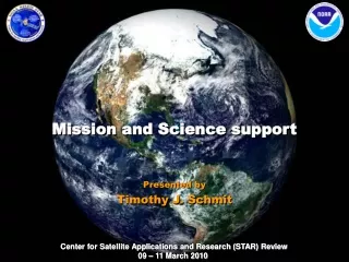
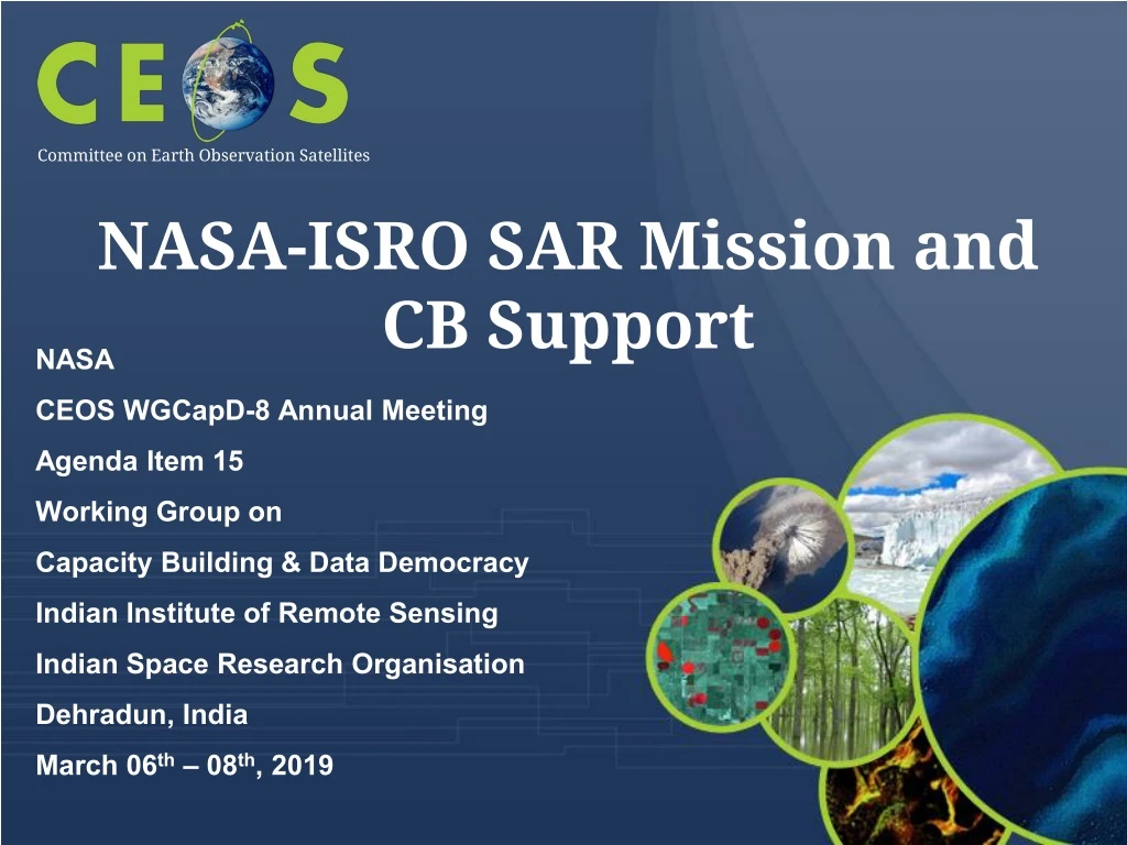
NASA-ISRO SAR Mission and CB Support. Committee on Earth Observation Satellites. NASA CEOS WGCapD-8 Annual Meeting Agenda Item 15 Working Group on Capacity Building & Data Democracy Indian Institute of Remote Sensing Indian Space Research Organisation Dehradun, India

E N D
NASA-ISRO SAR Mission and CB Support Committee on Earth Observation Satellites • NASA • CEOS WGCapD-8 Annual Meeting • Agenda Item 15 • Working Group on • Capacity Building & Data Democracy • Indian Institute of Remote Sensing • Indian Space Research Organisation • Dehradun, India • March 06th – 08th, 2019
NISAR Science • Dynamics of Ice: Ice sheets, Glaciers, and Sea Level • Will there be catastrophic collapse of the major ice sheets, including Greenland and West Antarctic and, if so, how rapidly will this occur? • What will be the resulting time patterns of sea-level rise? • How are alpine glaciers changing in relation to climate? • Ecosystems and Biomass Change • How do changing climate and land use in forests, wetlands, and agricultural regions affect the carbon cycle and species habitats? • What are the effects of disturbance on ecosystem functions and services? • Solid Earth Deformation: Hazard Response • Which major fault systems are nearing release of stress via strong earthquakes? • Can we predict future eruptions of volcanoes? • What are optimal remote sensing strategies to mitigate disasters and monitor/manage water and hydrocarbon extraction and use • Coastal Processes: India • What is the state of important mangroves? • How are Indian coastlines changing? • What is the shallow bathymetry around India? • What is the variation of winds in India’s coastal waters?
NISAR promises to support a wide range of applications for other users • Utilization Plan addresses engagement with stakeholders beyond the NASA science community • Addresses capacity building through • Development of sample products • Targeted workshops for understanding end user needs and providing training • NISAR Applications/Utilization
Participant in SAR Literacy and Training Workshop October 2018 • For Mission System CDR (October 2019) • Simulated NISAR products L0-L2 • Project-distributed L0-L2 workflow for these products based on ISCE open source software • Updated UNAVCO ISCE/GIAnT Short Course materials in Jupyter Notebooks • Many L3 ATBD’s in Jupyter Notebooks • Many Validation Workflows in Jupyter Notebooks • NISAR Status With Respect to Training
Planning a Science Workshop to socialize products and software • Developing a new course in geodetic imaging for NASA Solid Earth program tailored to NISAR observations • Discussing Joint NASA/ISRO NISAR training opportunities • Port UNAVCO course to Indian community • Repeat of successful 2018 NASA/ISRO NISAR/SMAP Training Workshop • Repeat of successful 2018 SERVIR training on ecosystems • NISAR Status With Respect to Training
NISAR Capacity Building Approach Who are you targeting? • NASA/ISRO Science Community • Utilization Stakeholders such as operational agencies, companies, and disaster response What outcomes are you trying to achieve? • Improved SAR and derived product literacy and understanding of their value What best practices do you follow? • Focus on a limited set of high-value stakeholders • Develop training from theory through application using functional workflows • Jupyter notebooks
NISAR Capacity Building Approach What evidence do you measure to show that capacity is built? • Surveys asking for feedback on workshops and courses • Beginning formal assessment Who are your implementing partners? • ISRO • UNAVCO • Science Team • TBD Agencies What are the potential areas for collaboration and linkages? • Course development • Course deployment • Product development and assessment
Mission Science Ecosystems • NISAR Mission Overview Major partnership between US National Aeronautics and Space Administration (NASA) and Indian Space Research Organisation (ISRO) Baseline launch date: No earlier than January 2022 Dual frequency L- and S-band Synthetic Aperture Radar (SAR) • L-band SAR from NASA and S-band SAR from ISRO NASA 4 GbpsKa-band telecom system to polar ground stations (> 26 Tbits/day downlink capability) ISRO I3K Spacecraft with 2.8 Gbps telecom system ISRO Geosynchronous Satellite Launch Vehicle (GSLV) Mark-II (4-m fairing) 3 years NASA science operations (5+ years consumables) All science data (L- and S-band) will be made available free and open Biomass disturbance; effects of changing climate on habitats and CO2 Cryosphere Ice velocity, thickness; response of ice sheets to climate change and sea level rise Solid Earth • Surface deformation; geo-hazards; water resource management
NISAR: ISRO Proposed Applications Ecosystem Structure:1.1 Agriculture biomass & Crop monitoring; 1.2 Forest biomass; 1.3 Forest disturbance; 1.4 Mangroves / Wetlands; 1.5 Alpine vegetation; 1.6 Vegetation phenology; 1.7 Soil moisture; 1.8 Ecosystem stress assessment Land Deformation:2.1 Inter-seismic / Co-seismic deformations; 2.2 Landslides; 2.3 Land subsidence; 2.4 Volcanic deformations Cryosphere:3.1 Polar Ice Shelf / Ice sheet; 3.2 Sea Ice Dynamics; 3.3 Mountain snow/ glacier 3.4 Glacier dynamics/ hazard (Himalayan Region); 3.5 Climate response to glaciers; 3.6 Sea–Ice advisory on safer marine navigation in Antarctica region Coasts & Ocean:4.1 Coastal erosion / shoreline change; 4.2 Coastal subsidence and vulnerability to sea-level rise; 4.3 Coastal bathymetry; 4.4 Ocean surface wind; 4.5 Ocean wave spectra; 4.6 Ship detection; 4.7 Coastal watch services; 4.8 tropical cyclone Disaster Response:5.1 Floods; 5.2 Forest fire damage assessment; 5.3 Coastal oil spill; 5.4 Earthquakes / Others Geological Applications:6.1 Structural & Lithological mapping; 6.2 Lineament mapping; 6.3 Paleo-Channel study; 6.4 Geomorphology; 6.5 Land degradation mapping; 6.6 Geo-archaeology; 6.7 Mineral explorations
Observation Geometry • NISAR Characteristics 747 km Earth surface >240 km 33o 47o 6 AM / 6 PM
NISAR Systematic Observations Repeated every 12 day cycle for the life of the mission No target conflicts: overlapping targets uses union of all modes specified Colors indicate different radar modes Persistent updated measurements of Earth 41Tbits / day total L+S band science data downlink 120 Tbytes / day total L+S band L0-L2 data products J. Doubleday P. Sharma, JPL
26-35 Tbits of raw L-band data per day on average • 3-6 Tbits of raw S-band data per day on average • L-SAR L0a, L0b, L1, and L2 science products • S-SAR L0 science product of data downlinked through NASA Ka-band • Free and open archive in Alaska Satellite Facility DAAC • NISAR Global Product Suite L1 L2 L0 MLD Polarimetric products GCOV COV RAW Geocoded SLC GSLC RSD SLC IFG Interferometric products GUNW UNW