Download
1 / 11
110 likes | 118 Views
MountainScope is a real-time situational awareness aviation moving-map program that integrates an aviation database, traffic, weather, and high-resolution terrain. It offers features such as XM Weather, ADS-B Traffic, and terrain visualization. PCAvionics joined OGC/OWS-6 to turn MountainScope into an aviation client testbed for the AIXM/WFS standards, enabling spatially and temporally filtered WFS requests, weather information download and display, airport diagrams, and runway and taxiway closure alerts.

E N D
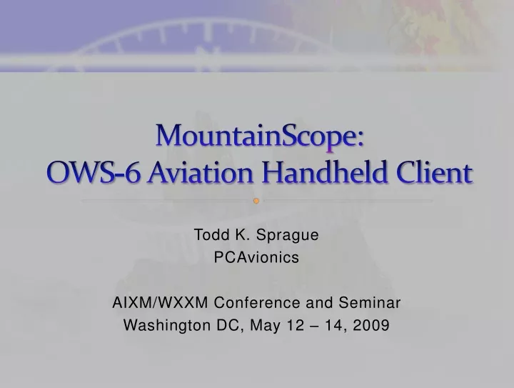
MountainScope:OWS-6 Aviation Handheld Client Todd K. Sprague PCAvionics AIXM/WXXM Conference and Seminar Washington DC, May 12 – 14, 2009
Introduction MountainScope is an aviation moving-map program that specializes in real-time situational awareness.
Features It combines an aviation database, traffic, weather, and high-resolution terrain to give the pilot an integrated view of the common hazards and standard VFR sectional charts. Terrain XM Weather ADS-B Traffic
Open Geospatial Consortium In the fall of 2008, PCAvionics joined OGC/OWS-6 to turn MountainScope into an aviation client testbed for the AIXM/WFS standards. OGC Web Services MountainScope
Real-Time Information Using OGC’s Web Services, MountainScope was enhanced to: • Make spatially-filtered WFS requests • Make temporally-filtered WFS requests • Download and display weather information • Download and display airport diagrams • Display runway and taxiway closures
WFS Filtering Using filter encoding as part of the WFS request enabled context-sensitive features: • User could click on an airport and request weather or updated info about that airport • User could use the flight plan menu to request weather or updated AIP information for the entire flight plan • Requests could be filtered to temporally limit the returned data to include only the expected time of flight
Weather Information Using the Weather.aero WFS server, MountainScope downloaded and displayed METARs, TAFs, PIREPs, AIRMETs and SIGMETs.
Airport Diagrams MountainScope downloaded airport diagrams from the OWS-6 demo server at Snowflake Software, for display on the moving-map.
Runway and Taxiway Closures Using xNOTAM events, MountainScope alerted the pilot regarding closed runways and taxiways.
Design Challenges Vendors new to AIXM and/or WFS may encounter a few challenges along the way: • WFS is a standard that requires time and effort before one can make requests and use responses • The AIXM schema are very large and complicated, making implementation of a general solution difficult • Conversion of the AIP data to vendor’s proprietary internal format requires in-depth understanding of AIXM
Summary Joining OGC was productive for PCAvionics, to bring OGC Web Services into our MountainScope moving-map product. By being a part of OWS-6, PCAvionics was able to bring an aviation industry vendor perspective to the OGC and AIXM standards, which we hope will contribute to their further development and wider use by vendors.