Download
1 / 16
170 likes | 273 Views
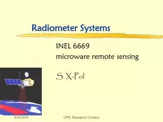
ASTER Advanced Spaceborne Emission and Reflection Radiometer. ASTER Instrument. Has 3 sensors and detects 14 bands of spectrum. Launched December 1999 Ground resolution is 15m ~ 90m. VNIR Visible/Near Infrared Radiometer # of Bands: 3 Nadir + 1 Aft-Looking Spatial Resolution: 15 m.

E N D
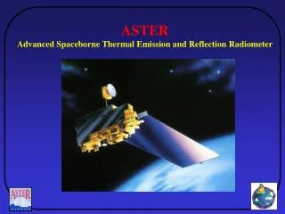
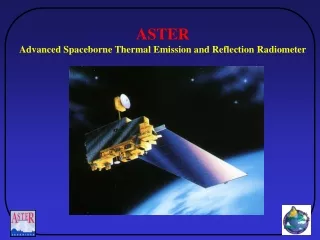
ASTER Advanced Spaceborne Emission and Reflection Radiometer
ASTER Instrument • Has 3 sensors and detects 14 bands of spectrum. • Launched December 1999 • Ground resolution is 15m ~ 90m. VNIR Visible/Near Infrared Radiometer # of Bands:3 Nadir + 1 Aft-Looking Spatial Resolution:15 m SWIR Short Wave Infrared Radiometer # of Bands:6 Nadir Spatial Resolution:30 m TIR Thermal Infrared Radiometer # of Bands:5 Nadir Spatial Resolution:90 m
GDEM: The ASTER Global Topography Data Set
Methodology 1. Stereo-correlate entire ~ 1.5 million scene ASTER Archive; 2. Cloud mask to remove cloudy pixels; 3. Stack all DEMS & remove residual bad values and outliers; 4. Partition data into 1º x 1º tiles --- ASTER scene (60km x 60km) SRTM3 coverage Tile (1 arc degree square) Automated processing Generation of a seamless tile of DEM using all ASTER data ever acquired over the tile ASTER coverage (~1.5 million scenes in summer 2008) Deeper red indicates more data accumulated. GEOSS Contribution to ASTER GDEM Both US and Japan committed to contribute to GEOSSat Capetown Summit 2007. Global coverage A seamless Tile of DEM
ASTER Global Digital Elevation Model (GDEM) • 23,000 1x1 degree tiles • 30 m postings • Released June 2009 • Available thru LPDAAC & GDS • Free to ALL users • Version 2 to be released Spring 2011
Eyjafjallajökull Iceland Volcano Eruption Time-lapse photo of eruption cloud and lightning
Eyjafjallajökull Iceland Volcano Eruption April 1 perspective view showing early phase of lava flow and lahar emplacement
Eyjafjallajökull Iceland Volcano Eruption April 19 MODIS image of ash plume. ASTER image
Eyjafjallajökull Iceland Volcano Eruption April 19 image of ash plume. Red is thermal infrared signature of active vent and earlier flows.
Eyjafjallajökull Iceland Volcano Eruption April 19 image of ash plume. Thermal infrared channels highlight ash vs SO2 in plume.
Baja California April 4 Earthquake, M=7.2 Sub-pixel co-registration of before and after ASTER images allows determination of displacements between images. The results indicate ~4m of right-lateral offset, and ~1 m vertical offset. This is in agreement with several field observations. Courtesy Dr. Sebastien Leprince, Caltech
April 20 Gulf of Mexico Oil Spill May 1 ASTER image of oil spill, ~20 miles from Mississippi Delta Oil Platform Ship
April 20 Gulf of Mexico Oil Spill May 1: visible (left); thermal (right) showing current fronts, oil thickness, and attempts to burn oil.