Download
1 / 15
150 likes | 153 Views
This presentation outlines the objectives and approaches of the HFIPOcean Model Impact Tiger Team in assessing the impacts of ocean components on hurricane forecasts. It discusses the progress made so far and the near future plans of the team.

E N D
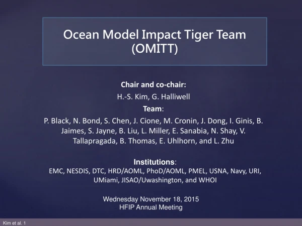
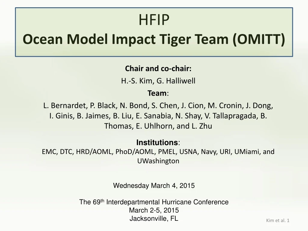
HFIPOcean Model Impact Tiger Team (OMITT) Chair and co-chair: H.-S. Kim, G. Halliwell Team: L. Bernardet, P. Black, N. Bond, S. Chen, J. Cion, M. Cronin, J. Dong, I. Ginis, B. Jaimes, B. Liu, E. Sanabia, N. Shay, V. Tallapragada, B. Thomas, E. Uhlhorn, and L. Zhu Institutions: EMC, DTC, HRD/AOML, PhoD/AOML, PMEL, USNA, Navy, URI, UMiami, and UWashington Wednesday March 4, 2015 The 69th Interdepartmental Hurricane Conference March 2-5, 2015 Jacksonville, FL
Overview • Objectives • Approaches • Groups and Primary Tasks • Progress • Near Future Plans • Related Presentations at IHC
1. Objectives Determine the benefit of coupling ocean models of various complexity to the hurricane atmospheric model, by assessing the impacts of the ocean components on the HWRF forecasts and the sensitivity of these impacts on air-sea interface, surface flux, and atmospheric parameters. Background: Several studies have demonstrated already in the past, e.g. Lee and Chen (2014), Yablansky and Ginis(2014), and Wada and Usui(2007and 2010). Q1: What would this effort be different from the past research/effort? Q2: Observation limits the effort. What are options? Q3: What do we expect at the end of one year? … Year-End Goal: Submit Recommended strategies to improve ocean model performance in TC forecasts, prepare a report and present results in 2015 HFIP annual meeting.
2. Approaches • Models: 1. 3DOcean couple POM (w/ HWRF), HYCOM (w/ HWRF), and NCOM (w/ COAMPS-TC) Performed in 3 basins – NAtl, EPac, and WNP. 2. 1DOcean couple – Mixing physics M-Y and KPP w/ momentum balance in a column No simulations done, but can be conducted on demand. Reserve this for Ideal Runs. 3. Specified SST – a) Persistent SST from GFS/GDAS (RTG), NCODA and RTOFS nowcasts - objective:what is the impact of mesoscale variability of SST. (Preliminary Results in slides 11-12) b) Updated SST (from global RTOFS products) Can be performed in all 3 basins. • Approach– build Metrics and Diagnostic Tools for effective and consistent analysis
3. Groups and Primary Tasks Real cases – evaluate and compare with obs. Black, Chen, Cion, Halliwell, Jaimes, Kim, Liu, Sanabia, Shay, Uhlhorn, Zhu data warehouse modeling run evaluation Design simulations – e.g., run real cases on demand or sensitivity study Chen, Dong, Halliwell; Ginis; Thomas; Zhu Data & tools – collect, archive at DTC, and distribute Bernardet; Black; Cion; Halt; Kim; Sanabia; Shay; Uhlhorn Communicate at biweekly telecons with goals of: 1. Build synergy bwn modelers and field scientists, 2. Exchange diagnostic tools and make them available, 3. Update progress, and 4. Assist publications. Kim et al. 5
4-1 4. Progress • Defined (as of February 2015) • Models, Groups, Regular telecon times, Definitions – done • Storms, Metrics, Data & tools Repository – almost complete • Primary Storms of Interest • Cases selected from the 2014 operational, and upgraded T&E runs, based on • a) the strength of ocean influence, and • b) the availability of ocean and atmosphere observations Runs by non-coupled, and coupled but with different ocean models as operational or experimental exercise in 3 basins – N. Atlantic (NAtl), E. Pacific (EPac), and W. N. Pacific (WNP). • NAtl • Edouard (2014), Isaac (2012), and Gonzalo (2014) • EPac • Julio (2014) and Iselle (2014) • WNP • Fengshen (2014), Pabuk (2013), Kammuri (2014) and Soulik (2013)
4-2 4. Progress • Data • DTC’s Mesoscale Model Evaluation Testbed (MMET) repository • of simulations and observations. • Observations • The SS funded ocean obs. - leverage • Target obs. – air-borne, unman vehicle, ? • Mooring obs. – KEO, TAO, NDBC, ? • Lagrangian obs. – gliders, drifts, floats, ? • Remote sensing obs. – MW, IR, Wind, ? • Simulations • Operational HWRF (HWRF-POM), • Experimental HWRF (HWRF-HYCOM) and COAMPS-TC, and • Ideal cases – non-coupled, 1D and 3D ocean coupled.
4-3 Model and observation data sharing by L. Bernardet, 13th February 2015 Mesoscale Model Evaluation Testbed(how it can help HFIP OMITT) 4. Progress http://www.dtcenter.org/eval/meso_mod/mmet • What:Mechanism to assist research community with initial stage of diagnostics and testing, with the goal of leading to model improvements • Can provide: • Observational datasets • Forecasts and verification from selected model configurations • Code for conducting model runs • Where: Hosted by the DTC; served through Repository for Archiving, Managing and Accessing Diverse DAta (RAMADDA)
4-4 DTC’s hwrf-contrib for tools Repository by C. Halt Feb. 13, 2015 4. Progress • Metrics • Use consistent definitions • Oceanic Mixed Layer depth (MLD) • storm footprint • surface layer • Diagnostic depths • Diagnostic Tools • DTC’s “hwrf-contrib” SVN repository for diagnostic tools. http://www.dtcenter.org/HurrWRF/developers/contrib/overview.php
4-5 4. Progress • Sensitivity to SST (J. Dong and H-S Kim) • Experiment design: • Non-coupled HWRF • SST: • Constant SST (25, 27 and 28oC) • GFS/GDAS (RTG) – available daily • NCODA – available daily and/or 6 hourly • global RTOFS – available hourly • Approach • Hurricane Edouard (2014) atmospheric conditions but using persistent SST. Experiment 1 (next 2 slides) Spatially uniform vs. varying SST, but persistent (Non-Coupled HWRF) constant SST – 27 and 28oC spatial varying SST – 00Z SST from GFS, NCODA and RTOFS
4-6 4. Progress • Sensitivity to SST (J. Dong and H-S Kim) Preliminary Results for Experiment 1 Non-coupled HWRF using persistent SST (spatially uniform vs. varying) • Intensity – two groups: • Large difference between constant SSTs. • Less differences among spatially varying SST. • Constant SST results in under-prediction for 27oC and over-prediction for 28oC. • All GFS, NCODA and RTOFS SST show a similar forecasts. Track – a similar bias pattern: northward for 0-30 hrs, southwestward for 36-66 hrs, and eastward for 72-120 hrs. Except 28oC SST’s track is excellent for 36-60 hrs.
4-6 4. Progress • Sensitivity to SST (J. Dong and H-S Kim) 1. Constant SST – large error at later lead times; and the same for bias to negative in Pmin for 28oC and positive for 27oC, and opposite for Vmax. 2. RTOFS (pink) – less spin-up/down; overall small error and bias at later lead times, cf others. 3. NCODA (yellow) – relatively large bias and errors, starting from 24-hr and persistent. 4. GFS (green) – comparatively better performed than NCODA, except abnormal peak in bias around 24 hr. Preliminary Results Best w/ RTOFS SST Worse w/ constant SST Error Bias Note: different color codes from the previous slide.
5. Near Future Plans • Complete a write-up of the OMITT Work Plan • Build tools to extract and estimate a minimum set of TC parameters – reduction of the simulation outputs for a easy reference to the OMI investigation • Build a database for storms of interest • Complete building of 3D HYCOM coupling Ideal case • Transition Tools to Operation • Assist Field Observation • Reinforce collaborations – e.g., invite atmospheric scientists to the telecon
6. Related Presentations at IHC • P01: Upper Ocean Observations in Hurricane Edouard Uhlhorn et al. • P04: Support for Users and Developers of the Hurricane WRF ModelBernardet et al. • P11: Kuroshio Extension Observatory (KEO) Measurements of the Upper-Ocean Response to Tropical Cyclones in the Western North Pacific Bond et al. • S1-05: 2014 AXBT Demonstration Project: Operations Summary and Research UpdateSanabia and Black • S3b-02: Improving the Ocean Component of the Operational HWRF and GFDN/GFDN Hurricane Models Ginis et al. • S5a-01: Advanced Operational Global Tropical Cyclones Forecasts from NOAA’s High-Resolution HWRF Modeling System Tallapragada • S5a-06: Proposed 2015 NCEP HWRF Hurricane Forecasting Model Trahan et al. • S5b-03: Sensitivity of Ocean Sampling for Coupled COAMPS-TC Prediction Chen et al. • S5b-05: NOAA’s Use of the Coyote UAS in Hurricane Edouard to Enhance Basic Understanding and Improve Model Physics Cion et al.
Thank you Questions?