Download
1 / 66
660 likes | 798 Views
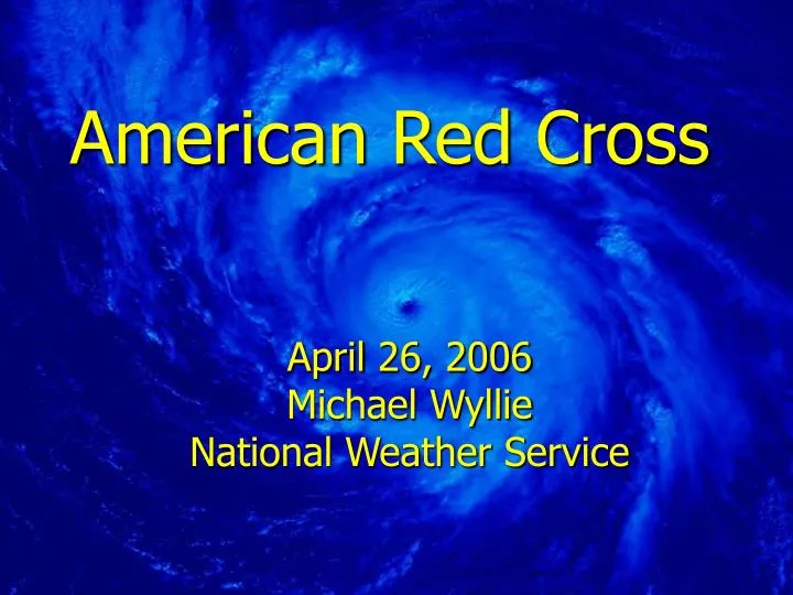
American Red Cross. April 26, 2006 Michael Wyllie National Weather Service. What is a hurricane?. A hurricane is a tropical cyclone. A cyclone is the general term for all circulating low pressure systems over tropical waters. In the Northern Hemisphere, cyclones circulate counterclockwise.

E N D
American Red Cross April 26, 2006 Michael Wyllie National Weather Service
What is a hurricane? A hurricane is a tropical cyclone. A cyclone is the general term for all circulating low pressure systems over tropical waters. In the Northern Hemisphere, cyclones circulate counterclockwise. Katrina 2005
Early Hurricanes • August 1635 – probably had major effects on Long Island. • September 1815 – “The Great September Gale of 1815” – severe damage to south shore • September 1821 – Crossed Long Island around Jamaica Bay – 21 lives lost.
High Seas The Long Island Express, 1938
1938 Storm
Coastal Flooding Hurricane Carol, 1954
Hurricane Donna The eye apparently was enlarged to almost 100 miles in width as it approached the New York coast. Several stations on Long Island reported sustained winds over 100 mph, and gusts of 125-30 mph were recorded at the eastern end of the island
Fiercest Part of a Hurricane The fiercest and most dangerous part of a hurricane is located in the 50 to 75 miles wide region surrounding the eye of the hurricane.
Hurricane Hazards • High Winds • Tornadoes • Storm Surge • Flooding Rains • Rip Currents, High Surf, High Seas, and Battering Waves
Impact of Hurricane Wind Pressures at Various Altitudes 100% GREATER AT 350 FEET 70% GREATER AT 200 FEET 50% GREATER AT 140 FEET Source: “Minimum Design Loads for Buildings and Other Structures” ASCE 7-88, July 1990 High-Rise Buildings at The Battery
100% GREATER AT 350 FEET 50% GREATER AT 140 FEET Impact of Hurricane Wind Pressures at Various Altitudes 70% GREATER AT 200 FEET Center Span Elevation of 213.0 feet (NGVD) Source: “Minimum Design Loads for Buildings and Other Structures” ASCE 7-88, July 1990 George Washington Bridge
Center Span Elevations of Various New York City Bridges Goethals Bridge 140.0 feet Bayonne Bridge 150.0 feet Outerbridge Crossing 145.0 feet Triborough Bridge 145.6 feet Bronx-Whitestone Bridge 138.6 feet Throgs Neck Bridge 145.6 feet Henry Hudson Parkway Bridge 145.6 feet Marine Parkway Bridge 57.0 feet Verrazano-Narrows Bridge 230.6 feet Williamsburg Bridge 133.0 feet Manhattan Bridge 135.0 feet Queensborough Bridge 135.0 feet
HIGH LEVEL BRIDGECLOSURES Hours Before Tropical Storm Storm Forward Speed Winds Occur at the Surface (Completion of Evacuation) 20mph 2 to 3 Hours 40mph 1 to 2 Hours 60mph 1 Hour or Less
The Wind effect on the Trees • Last sustained winds over 60 mph was in Hurricane Gloria in 1985 – 21 years ago, Bob in 1991 only affected eastern Long Island. • Isolated severe thunderstorms have thinned out dead trees in only a few areas. Much of the stands of trees over NYC and Long Island have not been stressed and will come down quickly. • With sustained winds of 80+ mph and gusts at or above 100 mph, Gloria would look like a walk in the park.
TORNADOES • Nearly 60% of the hurricanes that made landfall between 1948 & 2004 spawned at least one tornado. In 2004 the storms set records! In 2005 Hurricane Rita moved into 6th place with the number of tornadoes it spawned! • Most of these occurred in the right front quadrant of the storm.
Storm Surge • It is the abnormal rise in water caused by the wind and pressure forces of a hurricane. • Through history this has been the greatest hazard from the hurricane and has been the greatest cause of fatalities, although this is changing.
Shelf Slopes • Shallow shelves result in higher surges and lower waves: New York City • Steep shelf's result in lower surges and higher waves: Eastern Long Island Storm Surge Gentle Shelf Incline Steep Shelf Incline
SLOSH does not incorporate the effects of: • Rainfall amounts. • River flow. • Wind driven waves. • Heights of astronomical tides.
Storm Surge Elevations (in feet) ~ Category 1 6.3 9.0 6.6 6.5 6.4 9.1 6.1 6.2 7.9 7.8 8.2 10.1 7.5 10.5 10.4 9.3 10.3 10.0
11.5 14.8 15.6 11.3 11.2 14.0 13.0 15.7 11.7 15.1 15.0 15.8 17.2 16.6 15.7 15.2 15.7 16.0 Storm Surge Elevations (in feet) ~ Category 2
Rosedale Rockaway Boulevard Belt Parkway Aqueduct Raceway Howard Beach Jamaica Bay Cross Bay Boulevard
Belt Parkway Rockaway Boulevard Rosedale Aqueduct Raceway Cross Bay Boulevard Jamaica Bay Howard Beach
17.3 20.0 24.5 16.6 15.7 20.4 14.8 25.0 14.9 21.0 17.7 22.4 20.5 23.9 22.3 20.9 22.8 22.0 Storm Surge Elevations (in feet) ~ Category 3
22.2 25.2 31.2 22.2 20.8 26.6 24.6 31.3 18.1 27.4 28.1 25.6 30.8 28.7 27.6 27.0 28.0 26.7 Storm Surge Elevations (in feet) ~ Category 4
Flooding Rains • Excessive Rainfall is likely when tropical systems make landfall. • The forward speed of the storm plays a big role in the amount of precipitation that falls. • Examples: Agnes in 1972, Floyd in 1999, Ivan and Jeanne in 2004.
Flagler Beach, Florida FLAGLER BEACH, FLORIDA HIGH SURF WEAK SIDE - CAT 3
Battering Waves Hurricane Carol, 1954
What About the Beaches? • We have had three severe winters followed by a relatively mild one in the Northeast. • Many of our dune structures are badly diminished or totally gone compared to what protected us in 1985 when Gloria hit. • Some communities have replenished the beaches on their own. • Some have received natural replenishment. In other areas there is no beach left at all. • Much of the missing dunes and beaches are a result of the disastrous nor’easters during the 1990’s as well as last three winters…we still haven’t recovered.
Necessary Ingredients for Hurricanes • Warm Tropical Water • Sea surface temps above 27 degrees Celsius/80 degrees Fahrenheit • Tropical Wave • Seedling storms move off the coast of Africa • High Pressure Aloft • Upper atmosphere high • Easterly or Weak Westerly Upper Level Flow
REWIND… The hurricane season of 2005!
One for the record books! 27(8) named storms!
The hurricane’s energy source – warm ocean sea surface temperatures -- were above average!