Download
1 / 16
160 likes | 165 Views
Learn how the GOES-R satellite revolutionizes severe weather prediction with the Geostationary Lightning Mapper (GLM), enabling faster tornado warnings and improved safety.

E N D
Severe Weather, Lightning Prediction, and Warning through the use of the GOES-R Satellite Charlotte Besse & Amy Monahan Florida Goes-R Educators
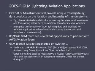
LESSON OBJECTIVE • Students will learn that special equipment aboard the GOES-R satellite will help save lives with earlier and more accurate detection of imminent severe weather. • The GLM, Geostationary Lightning Mapper, will be the first lightning mapper flown from geostationary orbit. • This revolutionary lightning mapper will allow weather trackers to improve the timing, location, and detection of severe weather. The data from the GLM will enable scientists to predict tornados faster than the current national average of fourteen minutes. Prelimary data shows that the warning time can be improved to more than twenty minutes with use of the GLM.
The Role of Geostationary Weather Satellites Begin lesson by watching the following video: The following video gives a wonderful overview of the GOES-R project capabilities and benefits to the world. Watchful Eyes-The role of Geostationary Weather Satellites at the following link https://www.youtube.com/watch?v=18RlraTqtGo
Vocabulary through “TABLE TOP TWITTER” Students will be presented with a list of weather related vocabulary. They will engage in a “table-top twitter” activity in groups of 3-4. The students will use their BYOT (bring your own technology) or other devices to look up the definition and an example of each vocabulary term and they will them write it on the poster paper at their station. (**if technology is an issue the teacher can provide a text book or other printed resource for students to use for reference**)
List of vocabulary terms: (the following are examples of vocabulary you might use, remember to scale up or down the vocabulary you use depending upon your students grade level and abilities) Lightning ground based lightning thunderstorm Thunder Solar weather fire weather Satellite tropical cyclone tornado Hurricane severe weather precipitation Hail rain sleet Snow microburst super-cell Updraft downdraft cirrus cloud Cumulus clouds cumulonimbus clouds stratus clouds
What is Lightning? Have Students explore the applet below to investigate lightning • http://whyfiles.org/2013/play-with-lightning-2/ Students should read the information on the National Weather Service websites to gain background information about lightning before beginning with the lesson. • http://www.lightningsafety.noaa.gov/science/science_thunder.htm • http://www.nssl.noaa.gov/education/svrwx101/lightning/
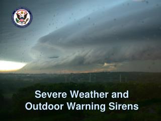
Recent Storms are giving the GOES-R and its Capabilities and Relevance. http://www.cnn.com/2014/07/27/us/lightning-strike-venice-beach/index.html
Students learn best when they can relate to the content and situation. We took an age appropriate, real world approach to create this lesson.
Capstone Assignment Students will be presented a problem based inquiry lesson where the final product is a proposal backed by satellite data and evidence from various articles and sources.
LITTLE LEAGUE SLUGGERS INC. THE ESSENTIAL QUESTION We are Little League Sluggers Inc. and have been told it is our responsibility to set up the National Little League Championship to be held in Orlando, Florida next July. This is an exciting endeavor however, Florida is known for severe weather. Everyone knows Lightning strikes are quite frequent in the month of July, however, the National Little League society wants to plan the event in a family friendly city. That is why we are looking at Orlando as the location for the upcoming Championship. There are two systems we are considering. The first has been in use and the second is getting ready to be launched by satellite in 2015. We need you to evaluate each system as to each of their effectiveness. Using the sources provided or other relevant sources, decide which system for lightning detection should the baseball company use for next year's tournament? Give at least three reasons, with evidence, as to why you have made your choice.
The Question: Using the sources provided or other relevant sources, decide which system for lightning detection should the baseball company use for next year's tournament? The Claim: (Which satellite does your group think will give the best data to keep the players safest against possible lightning strikes?) The Evidence: (In your research, what evidence does your group have to support the claim?) The Justification of the Evidence: (Why does your group think the evidence chosen supports the claim?)
*As an enrichment students can play the game Spectrix at the following link http://scijinks.jpl.nasa.gov/abi This game helps simulate some of the processes the GOES-R satellite goes through to collect weather data. The game simulates the up to 16 slices slices of light or images that will be picked up by the satellites ABIon the GOES-R satellite. The students will learn that the data the satellite collects tells the story of the weather or approaching storm.
Contact us • Charlotte Besse: teacherbesse@gmailcom • Amy Monahan: ammonaha@Volusia.k12.fl.us