Download
1 / 16
160 likes | 253 Views
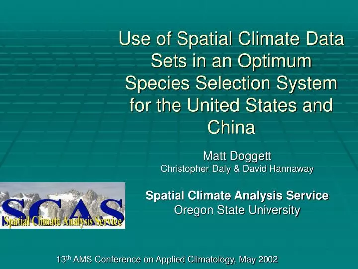
Use of Spatial Climate Data Sets in an Optimum Species Selection System for the United States and China. Matt Doggett Christopher Daly & David Hannaway Spatial Climate Analysis Service Oregon State University. 13 th AMS Conference on Applied Climatology, May 2002. Overview. Problem

E N D
Use of Spatial Climate Data Sets in an Optimum Species Selection System for the United States and China Matt Doggett Christopher Daly & David Hannaway Spatial Climate Analysis Service Oregon State University 13th AMS Conference on Applied Climatology, May 2002
Overview • Problem • Solution • Implementing the solution
Problem • Optimum vegetation species selection • climate conditions • soils conditions • Geographically separated researchers • Universities nationwide • International
How is species adaptability related to environmental parameters? Can we introduce suitable vegetation species into new regions with similar characteristics? How do we facilitate sharing of information? How can we put tools into the hands of the researchers? Problem
Problem tmax ppt tmin drain salt pH
Solution – Environmental Data • Climate – PRISM • July Max Temp • Jan Min Temp • Annual Precip • Soils • Salinity • pH • Drainage
Solution – Geographic Info. System (GIS) • Analyze spatial relationships • Grid layers • Grid arithmetic • Allows researcher to manipulate the data • Refine the modeling parameters
Solution – Communication • Internet • Web browser • Web server • Internet Map Server • Provides GIS-like functionality to investigators in a familiar web-based application • Facilitates sharing of information
CLIENTS DATA SERVER tmax Map Server Web Browser ppt tmin pH Web Browser salt Web Server drain Web Browser Solution – Communication Internet speciesA GIS speciesB speciesC
Internet Map Server http://mistral.oce.orst.edu/forages/ • Public access • Read only • Private access • Password required • Dynamic modeling of species adaptations
Features: Cities, geopolitical, rivers, roads, etc. Raster: Climate elements by month Soil grids Adaptation: Tall Fescue, Orchardgrass, Rye grass Map Features Soil Layers PRISM Layers Adaptation Maps • Map services • Contiguous US China • Toolbar • Zoom/Pan, Identify, select, Query, etc.
Run the Suitability Model • Expressed as a range of valid values for each adaptation classification • Well, moderate, marginal • Simple rules-based logic • Can include/exclude parameters MaxT = July Maximum Temperature MinT = January Minimum Temperature PPT = Mean Annual Precipitation pH = soil pH Salt = soil salinity Drain = soil drainage characteristic
Map updates to show regions of favorable and unfavorable adaptation based on inputs to the model.
Future • Graphics-based • Different functions • More Species types • Additional countries • More parameters in the model
Questions Matt Doggett mdoggett@coas.oregonstate.edu http://mistral.oce.orst.edu/forages/