Download
1 / 9
90 likes | 97 Views
Explore economic indicators and county classifications in South Dakota using data from the Economic Research Service and Bureau of Economic Analysis. Find out which metropolitan area is "government dependent", which county is "manufacturing dependent", and which rural counties are "retirement destinations". Access maps and spreadsheets for data on population, jobs, agriculture, and more.

E N D
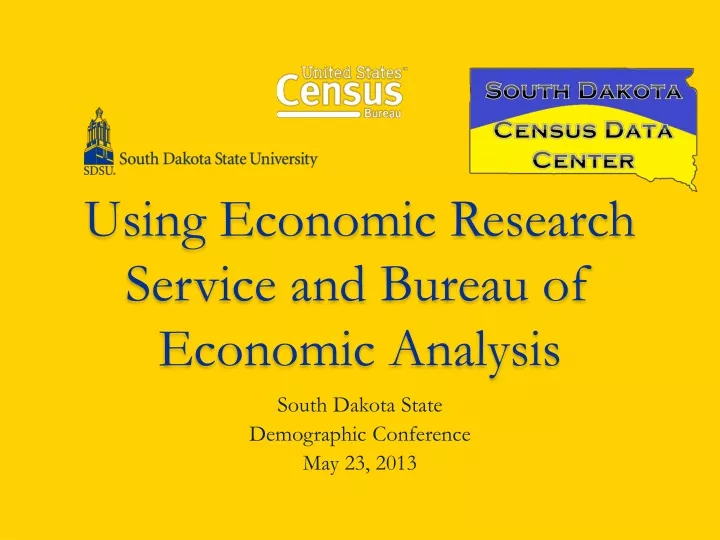
Using Economic Research Service and Bureau of Economic Analysis South Dakota State Demographic Conference May 23, 2013
http://www.ers.usda.gov/ • The above link goes to the Economic Research Service Home Page. • ERS has developed many of the indicators we use to understand and quantify rural America • http://www.ers.usda.gov/data-products/county-typology-codes/descriptions-and-maps.aspx lets us see what’s what.
A few questions • Which South Dakota metropolitan area is classified as “government dependent”? • Which South Dakota county is classified as “manufacturing dependent”? • Which two rural South Dakota counties are classified as “retirement destination”? • Note that “farming dependent” is set at 15% of earnings. What is the percentage for “manufacturing dependent”?
More ERS • Creative Class County codes http://www.ers.usda.gov/data-products/creative-class-county-codes.aspx • Natural Amenities codes http://www.ers.usda.gov/data-products/natural-amenities-scale.aspx (includes Beale Code listing)
http://www.ers.usda.gov/data-products/atlas-of-rural-and-small-town-america.aspxhttp://www.ers.usda.gov/data-products/atlas-of-rural-and-small-town-america.aspx • ERS: Atlas of Rural and Small Town America • Data at the county level is available on map (easy) or in spreadsheet form ( unwieldy, but useful) • We tend to look at the map first, for data on people, jobs, agriculture and county classifications, then go to the spreadsheet when needed. • Your exercise – go to the map, and find the number of people per square mile in Harding and Minnehaha Counties – if getting college credit, email the answer to Mike.
The Bureau of Economic Analysis • In general, the BEA produces the big data – data at national and even international levels, covering entire industries. • Under the Regional Heading, some useful county and state level presentations of their data is available under the heading of BEARFACTS (Bureau of Economic Analysis Regional Fact Sheets)
BEARFACTS • Bureau of Economic Analysis Home: http://www.bea.gov/ • BEARFACTS for state and local areas: http://www.bea.gov/regional/bearfacts/ • County Fact Sheets can provide economic data about the residents from 1979 to 2011
BEARFACTS • Exercise: • Using the map, access South Dakota, and determine whether the Per Capita Personal Income in South Dakota is lower, or higher than the US average, and if it has changed during the 21st Century, in which year did it change • Link: http://www.bea.gov/regional/bearfacts/
BEARFACTS • Exercise: • Using the map, access your home county and compare Per Capita Personal Income in 1980 and 2011- showing what the changes are. Email your results to: michael.mccurry@sdstate.edu if you are enrolled for university credit. (otherwise, proof of completion isn’t necessary)