Download
1 / 6
60 likes | 169 Views
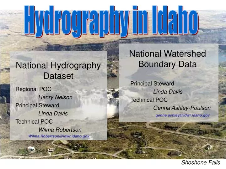
National Watershed Boundary Data. National Hydrography Dataset. Principal Steward Linda Davis Technical POC Genna Ashley-Poulson genna.ashley@idwr.idaho.gov. Regional POC Henry Nelson Principal Steward Linda Davis Technical POC Wilma Robertson

E N D
National Watershed Boundary Data National Hydrography Dataset Principal Steward Linda Davis Technical POC Genna Ashley-Poulsongenna.ashley@idwr.idaho.gov Regional POC Henry Nelson Principal Steward Linda Davis Technical POC Wilma Robertson Wilma.Robertson@idwr.idaho.gov Hydrography in Idaho Shoshone Falls
National Hydrography Dataset • “Completed” at 1:24,000 scale • Information mostly derived from USGS topographic maps and USGS cartographic feature files • Even though NHD available at 1:100,000 and 1:24,000 scale, our efforts are focused on improving 1:24,000K • We want to... • Add more names to the NHD. Currently only 31% of flowlines have names. • Improve connectivity and stream classification (perennial, intermittent, ephemeral). • Add and improve other features such as springs, and dams as well as improve attribution of streams North Fork of the Payette
National Hydrography Dataset • We are.. • Improving geometry • Improving flow directions and connectivity • Gathering information from Irrigation Districts and other Land Managers NHD on top of NAIP 2004
Photo-revised and “hand-edited” paper maps Customized NHD Edit Tool
National Hydrography Dataset • We want to.. • Eventually include attributes into the 24K NHD data that allows for flow modeling and Streamstats • Encourage the application of the NHD – for example • Address water rights to the NHD • SPARROW water quality monitoring • Fish Passage Support System Lake Pend Oreille
National Hydrography Dataset • We want to.. • Hear from you! Please submit updates, data and suggestions. • Tell us how you are using the NHD! • Stay in touch on our NHD website at: http://www.idwr.idaho.gov/hydrography/