Download
1 / 20
200 likes | 355 Views
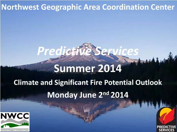
Northwest Geographic Area Coordination Center Predictive Services Summer 2014 Climate and Significant Fire Potential Outlook Monday June 2 nd 2014. Climate summary Precipitation observed in May 2014 . Accumulated precipitation percentage of normal . Climate summary

E N D
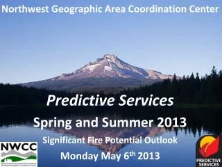
Northwest Geographic Area Coordination Center Predictive Services Summer 2014 Climate and Significant Fire Potential Outlook Monday June 2nd 2014
Climate summary Precipitation observed in May 2014 Accumulated precipitation percentage of normal
Climate summary Temperatures observed in May 2014 Observed temperature departure from normal
Climate summary Precipitation since October 1st 2013 Despite wet weather during FEB-MAY, much of the Pacific Northwest has been dry in 2013-2014. Accumulated precipitation percentage of normal
SNOWPACK Snow Water Equivalent percent of normal
Moderate drought (or worse) continues most spots in the west except western Washington
El Nino phase: May 28th 2014 Probable El Nino now forming The stripe of warmer water extending westward from South America reveals an El Nino event forming
Probable El Nino by early autumn A variety of forecast models indicate a likely El Nino forming by late summer
El Nino’s effects on the West: June through August temperatures If an El Nino is in place: Red areas have an elevated risk of enduring unusually hot temps over the summer as a whole. Uncolored areas have no greater risk than typical of becoming persistently hot over the summer. In other words: El Nino doesn’t have a relationship to overall summer temps
El Nino’s effects on the West: June through August rainfall If an El Nino is in place: Uncolored areas have no greater risk than typical of suffering drought over the summer. In other words: it’s not possible to use El Nino to forecast if the summer will be unusually wet or dry. Blue areas are unlikely to get unusually dry.
Temperature and Precipitation Outlook June 2014 Temperatures Precipitation Unusually warm temperatures most likely for the far west Unusually dry for most of western part of OR/WA
Temperature and Precipitation Outlook July, August, and September 2014 Temperatures Precipitation Strong monsoon over the Rockies but no trend elsewehere. Unusually warm temperatures likely for most all the far west
NWCC Predictive Services outlook : June 2014 Long range outlooks for June suggest June will be warmer and drier than usual. Given the dry conditions over most of Oregon and eastern Washington, much of the Pacific Northwest appears poised for an earlier onset to fire season than usual. This includes increasing risk of fires at higher elevations than usual in Oregon in June because of deficient snowpack. At this point, timbered areas of Washington do not appear on track for an early beginning to fire season in 2014.
1000hr fuel moistures measured June 1st 2014 Heavy fuels as measured by NFDRS on June 1st 2014 are drier than usual in most PSAs for this time of year. 1000hr fuel moisture are dropping down to potentially critical values several weeks ahead of schedule in 2014. The graphic to the right illustrates the amount of acceleratred drying. 5 weeks ahead 4 weeks ahead 5 weeks ahead 4 weeks ahead 4 weeks ahead 5 weeks ahead 3 weeks ahead 3 weeks ahead
NWCC Predictive Services outlook : July through September 2014 If outlooks for a warm and dry summer of 2014 prove correct, much of Oregon and sections of Washington appear to be due for greater potential than usual for large, costly fires due to the contributions of preceding drought and low fuel moisture. Lack of snow cover at higher elevations in Oregon could result in earlier exposure of more fuels to ignitions from lightning as July and August arrive. Lightning activity tends to decrease in September but is not guaranteed.
NWCC Predictive Services special note for June : Due to unusually dry conditions, especially in snow deficient areas, fire management units should take note that opportunities for prescribed fire at higher elevations are arriving weeks earlier than usual. The need for fire season staffing is also likely to arrive a few weeks earlier than usual. Note: The risk of escaped prescribed fires is correspondingly greater during dry, windy weather. Check spot forecasts carefully.
Next Outlook Wednesday July 2nd