Download
1 / 18
200 likes | 238 Views
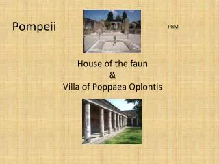
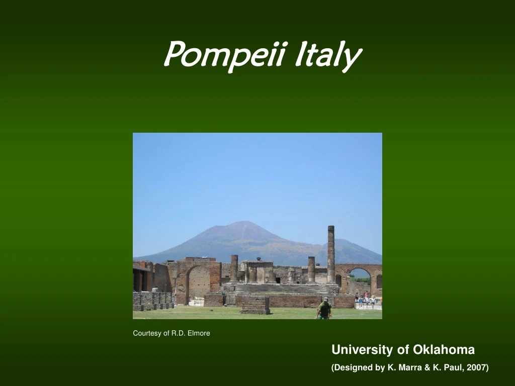
Pompeii Italy. Courtesy of R.D. Elmore. University of Oklahoma (Designed by K. Marra & K. Paul, 2007). Introduction.

E N D
Pompeii Italy Courtesy of R.D. Elmore University of Oklahoma (Designed by K. Marra & K. Paul, 2007)
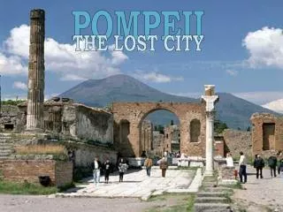
Introduction Pompeii, Italy represents an important archaeological and geological site. Once a prosperous and vivacious town located in the shadow of Mount Vesuvius, an active stvolcano, the region and its inhabitants were ultimately decimated and buried in a sea of volcanic ash and debris following a great, unforeseen eruption in the year 79 A.D. (1) Ruins of the ancient Forum in Pompeii Mt. Vesuvius Courtesy of R.D. Elmore Courtesy of R.D. Elmore
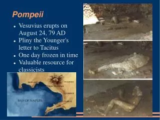
Satellite Image http://www.eyewitnesstohistory.com/pompeii.htm Location: Pompeii, Italy The ancient city of Pompeii, Italy is located in southwestern Italy, near the Bay of Naples. Mt. Vesuvius is located to the northwest of the ancient city. The areal extent of the 79 AD eruption is depicted on the map below by the black to gray shading (http://en.wikipedia.org/wiki/Pompeii) http://en.wikipedia.org/wiki/Image:Mt_Vesuvius_79_AD_eruption_3.svg
A Brief History Pompeii is believed to have been settled by the Oscans around the 9 to 8th century B.C. The city was founded in the fertile Sarno valley, atop ancient lava flows that enabled agriculture to flourish. The city was ruled by the Etruscans until approximately 484 B.C., until it became under control by the Samnites, and then eventually Rome in 89 B.C. It was later named Colonia Cornelia Veneria Pompei, a Roman colony. Pompeii continued to grow and prosper due to agricultural developments and a link to trade and maritime activities. The wealth of Pompeii’s inhabitants is represented by the presence of luxurious villas, adorned with art and sculpture. The city itself was very cosmopolitan, with abundant shops, bars (thermopolia), gambling rooms, and brothels (lupanari) (1). Courtesy of R.D. Elmore
A Brief History Pompeii subsequently remained buried for centuries, until it was rediscovered in 1748 by local workers. Subsequent work to excavate the city commenced sporadically over the next decades. In 1860, Giuseppe Fiorelli began systematic excavation work and discovered the remains of ancient citizens of Pompeii – by filling void spaces left in the volcanic ash with plaster to recreate their likenesses (2). Courtesy of R.D. Elmore Courtesy of R.D. Elmore
A Tour of the City Pompeii was built in a typical Roman fashion, with major roads intersecting in a grid pattern. The major east-west (decumanus) road is the Via di Nola and the major north-south road (cardo) is the Via di Stabia. Other major roads, the Via dell’Abbondanza and the Via del Foro, were built upon expansion in the city. The entire city was surrounded with walls. Major entrances to the city were through various gates, whose names indicate relative position to inner and outer geographic entities, such as PortaMarina, Vesuvio, Nocera, Sarno, Capua, and Ercolano. Major features of the city included the Theatre, the Amphitheatre, the Forum, the Gymnasium, the Triangular Forum, as well as public baths, shops, and important homes (1). http://www.utexas.edu/courses/italianarch/jpgs/0002090003.gif
Mt. Vesuvius Mt. Vesuvius is a major, active “volcano” or “composite volcano”. This type of volcano is made up of alternating layers of lava and ash debris. The heat at the center of the volcano was 2,000 degrees and 2 miles away it was over 900 degrees. People living within the 2 miles radius virtually had their lungs burned up. The vast majority of the people were buried alive in the ash that had fallen. The entire city was covered with hundreds feet of ash. An illustration of the layering found in a composite volcano. From: http://volcano.und.edu/vwdocs/vwlessons/volcano_types/str_x.htm Mt. St. Helens eruption in 1980. The ash plume erupted for 9 hours, eventually reaching 12 to 15 miles above sea level. USGS Photograph taken on May 18, 1980, by Donald A. Swanson From: http://vulcan.wr.usgs.gov/Volcanoes/MSH/description_msh.html
Mt. Vesuvius The people of Pompeii were seemingly unprepared for the fate that befell them. Follow the link to an article outlining the warnings the citizens of Pompeii missed prior to the deadly eruption. Clearly, predicting eruptions can be very important. A suite of techniques are used to monitor a volcano and determine when it might erupt. Many expensive pieces of equipment, trained observers, and educated volcanologists are required to monitor the world’s riskiest volcanoes. The illustration on the left is from the USGS’ Volcano Hazards Program Website. This group’s motto is Strategy for Reducing Volcanic Risk. Their website is a good place to find more information on the procedures and equipment that scientists use to monitor volcanoes and predict eruptions. Volcanic monitoring techniques. Illustration by B. Myers. From: http://volcanoes.usgs.gov/About/What/Monitor/monitor.html