Download
1 / 12
130 likes | 271 Views
California Geology. *Earth’s crust is divided into several tectonic plates that have moved over time across the surface of the earth. .

E N D
*Earth’s crust is divided into several tectonic plates that have moved over time across the surface of the earth.
Tectonic Plates are made of layer called lithosphere (crust and upper mantle)*These plates "float" on a thin underlying layer of magma in the upper mantle (asthenosphere).
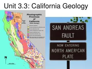
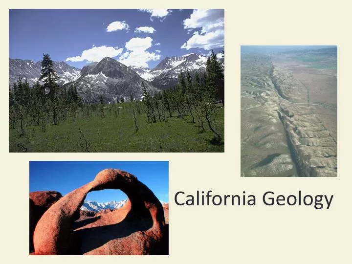
California Mountain Formations • Coastal Mountain Range • Sierra Nevada Mtn. Range • Subduction causes deep ocean trenches • off the coast of California. • Heating caused by one plate diving beneath another forms volcanoes and may result in a curved chain (arc) of volcanoes • Mountains are formed on the land
California has Earthquakes! • Located where three tectonic plates come together. • Pacific Plate (moving towards the northwest 5.5 cm/year) • North American Plate, (moving more slowly towards the west) • Juan de Fuca Plate (small plate subducting under northwestern US)
San Andreas Fault • Runs from the Salton Sea area to San Francisco area • Transform Fault (plates slide past each other) • “Big Bend” in the San Andreas Fault, north of Los Angeles. • Makes it difficult for the plates to slide past each other easily. • Stress builds up, then a big earthquake occurs
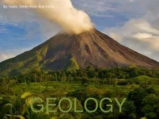
California has Volcanoes! • Cascade Range • Lassen Peak and Mt. Shasta. • Lassen Peak last erupted between 1914 and 1917. • Shasta has erupted at least three times in the last 750 years, maybe as recently as 1786 • Past eruptions have sent flows of hot volcanic gases, ashes, cinders, and other debris down the slopes.
California has Volcanoes! • Long Valley, in the Mammoth area of the Eastern Sierra • Located where magma from the mantle wells up into the crust.
California Grasslands • Grassland (rangeland) resources • Covers 25% of the state • 90% of Calif. endangered species live in grassland • Forage (feed) for livestock • Lost when grassland is converted to cropland or cities (urbanization)
California has Wildfires • Fire is a natural part of the grassland ecosystem • Lightening and human activities can cause fires • Wildfires occur because people have prevented fire for so long that there is a lot of dead plant material
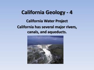
California has Floods! • Sacramento River used to flood • Water flowed all the way through the San Joaquin Valley • Dikes and levees built to hold water back so farms could be made Sacramento Bee January 14, 2011 • “California has more risk of catastrophic storms than any other region in the country – even the Southern hurricane states, according to a new study released Thursday”
Dikes and Levees • Dikes are built along a river to protect the buildings from flooding Sometimes levees fail